While 2020 was relatively slow for all of us, and most of us did not get a chance to explore the mountains, 2021 seems like a bright year for us to step outdoors. As the country preps to receive the COVID vaccines, we have ensured the utmost safety and precautions in all our departures. As we resumed operations late last year, we have Nomads who have started booking treks with us for 2021. Treks like Chadar, Kedarkantha, Brahmatal, and even International treks such as Everest Base Camp Trek and Annapurna Circuit Trek are seeing good responses.
As the world slowly catches up to trekking, Nomads have made trekking a part of their lifestyle. And rightfully so, as the experience gained through trekking in these mysterious mountains is unfathomable. They have something great in store for everyone who becomes a part of the journey to scale them.
Here are a few things that we have found how climbing mountains can help trekkers in a positive way.
You get physically and mentally fit!
Trekking helps you build your core, your endurance and improves your overall strength. Being amidst nature helps you regain your mental peace and gives you a whole new perspective on life. When on a trek, you also tend to maintain a balanced lifestyle of exercise combined with a good diet and great sleep. There is no room for unhealthy food in the mountains and the good food you consume becomes a great fule for your body to function properly.
The high altitude you attain while trekking, especially in the Himalayas strengthens your lungs and you also get to learn a lot from mother nature. When you choose a trek like Chadar, you realize that while your body cannot actually tolerate that kind of cold, it’s all about mentally training your body into believing that you will be fine.
You get to explore the unexplored
With social media booming its way into our lives, it’s very easy for us to see pictures of a million places with a longing to visit these places. However, only a few get out of their comfort zones and make that longing into reality. Climbing mountains requires courage, heart and lots of effort and doing the work to get to these places cuts many out of the crowds. Very few people like to get out of their comfort zones to reach these peaks, to explore these mountains but when they do, we can assure you, the view on the other side and be extremely rewarding.
You meet some amazing people along the way
Trekkers are some of the amazing people you can ever meet. Why you ask? If you observe closely, there are a few traits that they carry that almost all trekkers have – they have a brilliantly positive vibe, they are strong, confident and happy with the smaller things in life. When you trek with a group, even if you’re a solo trekker, you get to meet these people, interact with them and also be friends with them.
When you trek with others, even if you are strangers at first, you realise that you carry a similar goal, the goal to reach the top of the mountain and to experience the abundant beauty of nature. We’ve seen our Nomads make lifelong friends from our treks and the adventure of experiencing some of the most beautiful places with them is special in many ways.
You will finally understand why the mountains are calling and you must go
Mountains have a pull to them that no other adventure sport does. They are dangerous, they make us feel so small and sometimes they don’t even let us climb them. Yet, the power they hold, the pull they have to bring you back is unimaginable. More so, because, when you’re in the mountains, all your problems somehow feel smaller, your life slows down a bit, you get more time to think and you are vary of everything you do there. With the experience I have in the mountains, I know for a fact that when you spend enough time around them, you will feel the urge to come back. Once you trek to the base camp of Everest, you will understand how regardless of how tough the trek may feel then, you will want to do it all over again.
Mountains teach you – patience, persistence, and make you feel grateful
Trekking is anything but easy. Long ascents, waking up at unruly hours, beating the cold, not listening to your body and controlling your mind can be the most exhausting and hardest thing you do. They test you in ways that cannot be described.
As you climb, you will begin to realize certain things about these mountains. The classic quote that tells you “not to look at the whole mountain take it one piece at a time” is something you will come to understand. You will learn to never give up; to know that the reward will be worth the work it takes.
It may take you several months, attempts and hours but you will take the time and you can achieve the climb. Once you make it you will realize what all the fuss is about. It is like reaching a goal, achieving a dream and figuring out that you can do anything that you set your mind to. It’s an addictive feeling that no one can properly explain and one that you have to experience.
They will teach you a thing or two about why the environment matters
When you experience the beauty of the serene untouched mountains, you will voluntarily want to protect them. You will begin to realize exactly why it is your duty as a trekker, adventurer or explorer to leave no trace behind and clean up the mountains and protect nature.
It is only when you protect that you can enjoy and make the most of these places. When you climb mountains, you learn to respect what you have, you start reusing items, recycling whatever necessary and making the best out of what you already have.
They will teach you the art of being positive in life
If you have negative thoughts about climbing a mountain it is probably your one-way ticket to failure. Telling yourself you can’t or that it is impossible don’t help in any way. If you are positive, even if the climb is impossible at the moment, you will continue to try.
I always tell myself I must have 120% determination to achieve this climb. If you don’t believe you can climb the mountain than you probably never will. You can do more than you think you can and you just have to trust yourself, believe in yourself and take it one bit at a time, before you know it you will be standing on the peak.
You will start enjoying the smaller luxuries of life
When you’re continuously trekking for hours together and stop to take that first sip of water, it will be the best water you have ever tasted. On our trek to Kedarkantha Peak recently, our Nomads realized how lucky they are to have certain comforts in life like blankets, pillows or even a bed to sleep in that protects them from the gruelling cold. You start to respect what you have and you start looking at your necessities in a different manner.
They will teach you that sometimes you may fail and that’s okay
Of all the time we’ve spent in the mountains, we know one thing for sure, the weather can change in a heartbeat. This can mean you plan, your itinerary, everything can change, it all depends on the mountains. You can be 100 meters away from the summit and you may have to turn back due to some circumstances. Mountains will teach you that things are always changing and you need to be prepared to overcome that change and take some hard decisions.
With all the lessons you learn, you learn something new every time you go trekking in the mountains. And these lessons make you and shape you as a person, they build your perception and help you become a better human being.
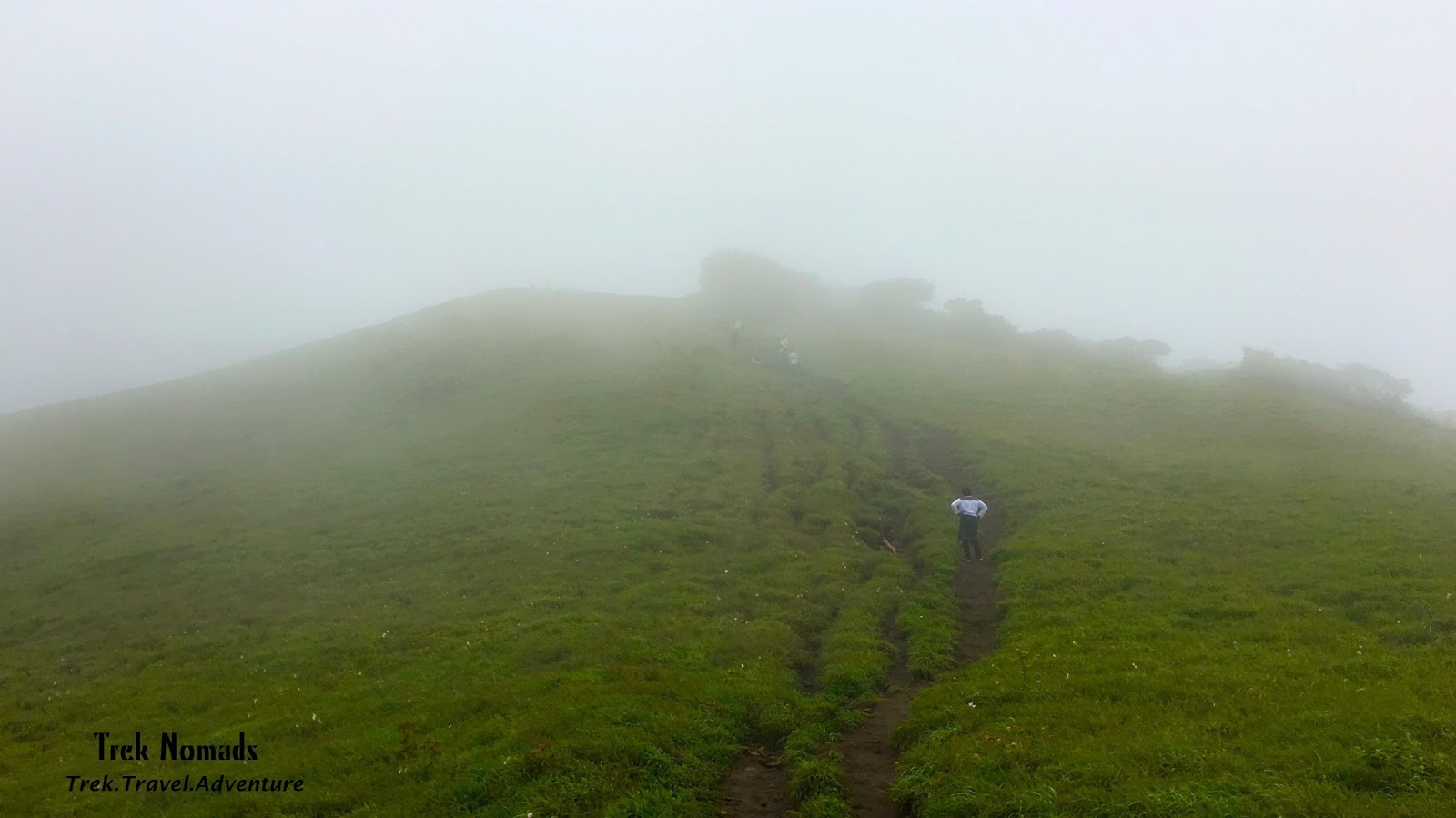
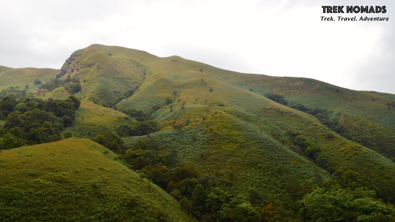
Kumara Parvatha is one of the most famous treks near Bangalore, for one reason that stands apart from the rest – It is said to be Karnataka’s toughest treks. Trek to Kumara Parvatha is also mostly taken up by experienced trekkers due to its difficult terrain and the time taken overall to trek and get back down to the peak.
Also known as Pushpagiri, Kumara Parvatha is most possibly the most challenging treks in the country. Towering at an altitude of 1,712 meters, not only is it the highest peak in the Pushpagiri Wildlife Sanctuary but also considered to be the fourth highest peak in Karnakata. The peak lies in the border of Dakshina Kannada and Kodagu District and The peak is also located right behind the very famous and revered Kukke Subramanya Temple.
The trail has two peaks. The smaller one is called Shesh Parvatha & the higher one is called Kumara Parvatha standing at an altitude of 5,600 ft. It is also said and believed in the local community that Shesh Parvatha is a guardian of the Kukke temple located at its base.
The weather during the trek was extremely pleasant and cloudy. Thankfully we got great views of the mountain range in the frame and we couldn’t be happier. Climbing the three iconic boulders was a great adventure and although two of them were challenging, our Nomads loved how thrilling it was.
While the plan was to climb KP from Beedalli and descend to the Kukke side, due to unforeseen circumstances, the safety of our Nomads & to prevent any kind of injuries our Trek Captain Naveen Mallesh had to take a call and he decided that we descend back to Beedalli instead of Kukke.
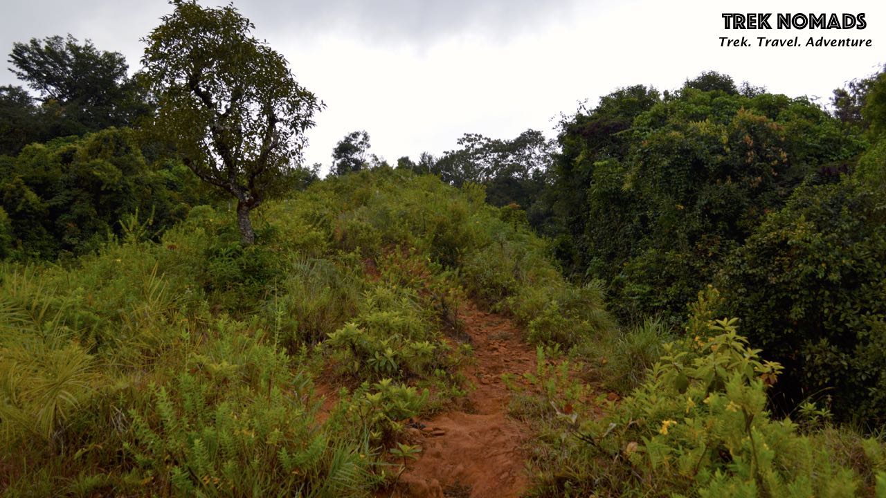
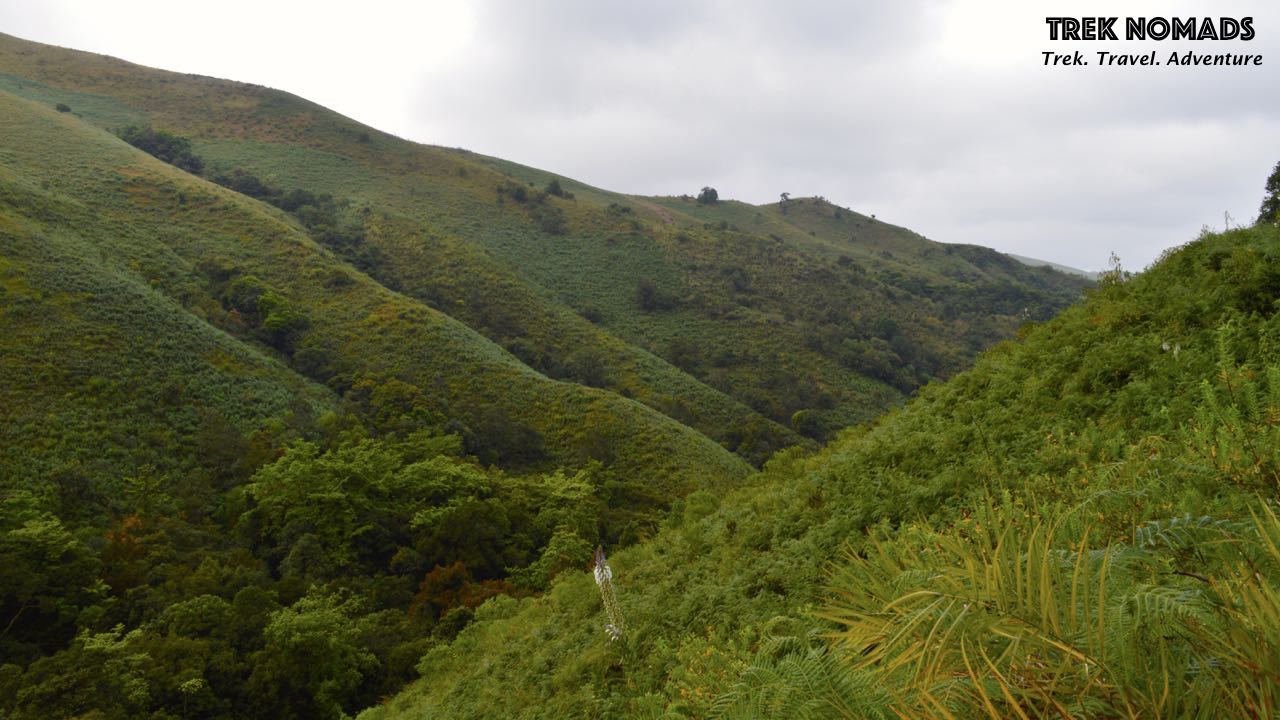
This is one of the treks in the Western Ghats that we look forward to all through the year. The reason we schedule this for November end and December is because of the pleasant weather during this season. And even this time along, we weren’t let down, the weather was soothing – cloudy and nice.
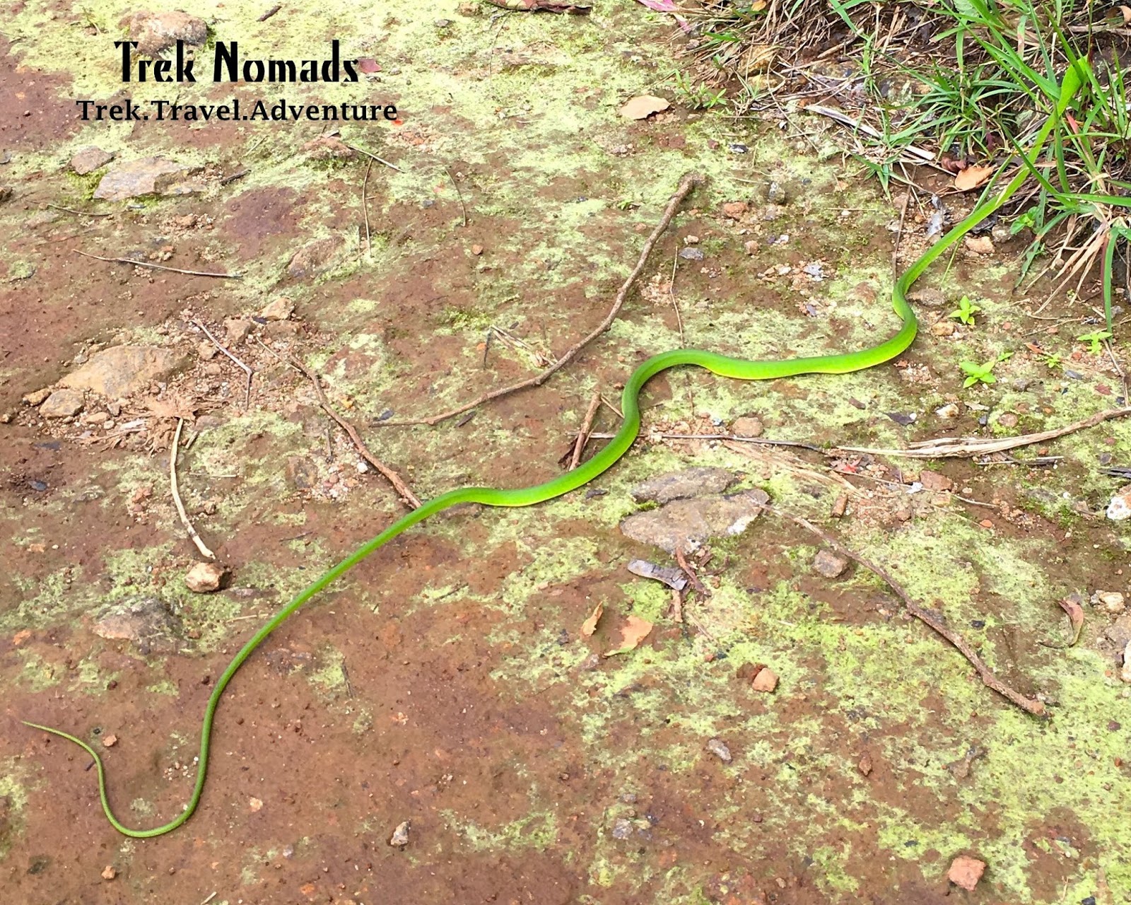
What we did love during the trek was how peaceful the forest is, when you sync with it. We came across 3 beautiful snakes on the trail including a gorgeous Cobra along with Bison footprints which were definitely thrilling and scary adventurous. Unlike the treks like – Tadiyandmol, Kurinjal, Kote Betta, Ettina Bhuja, this trail is as wild as it can get.
Here’s a quick glimpse of our recent trek to Kumara Parvatha
A video story of our trek to Kumara Parvatha:
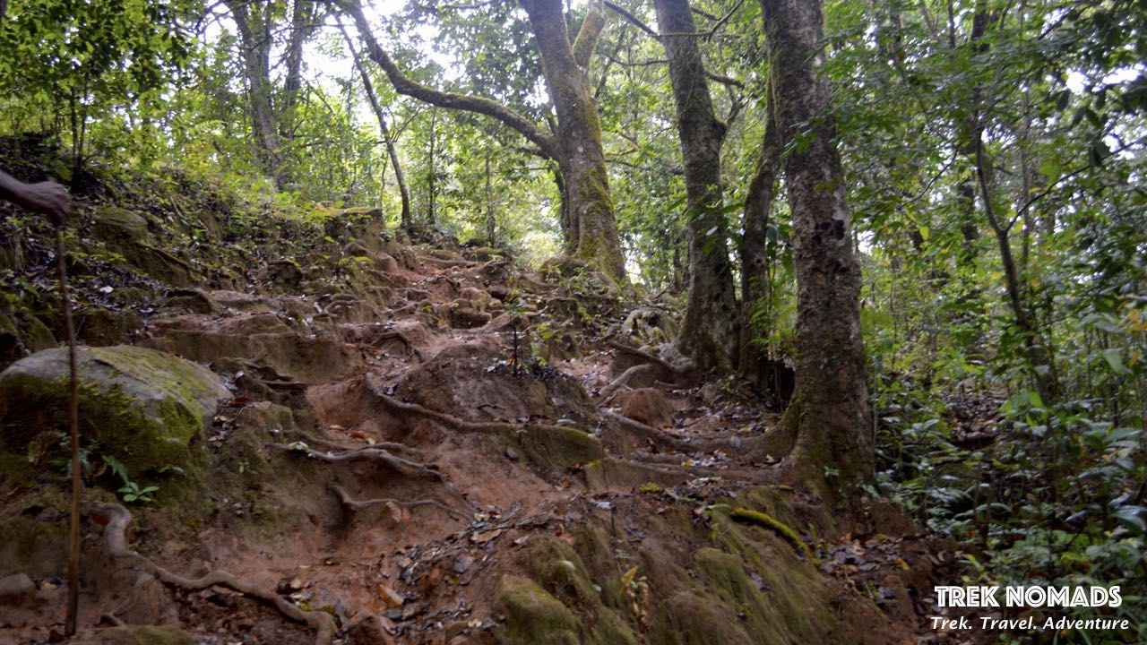
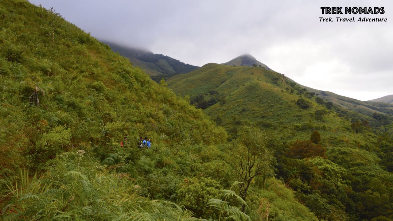
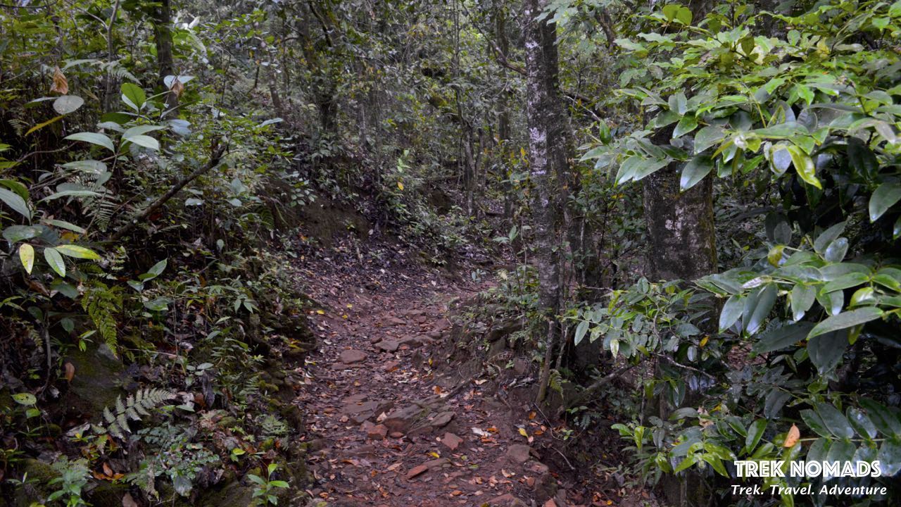
We reached the beautiful homestay in Beedalli at about 5.30 in the morning. Post this, we had about one hour to freshen up, have breakfast and leave for the base.The beautiful Kumara Parvatha mountain with mist covering the peak. Although it looks sunny in the photo, the weather was quite pleasant to all our surprise. When you take a closer look at the peak you’ll realize that the entire stretch is made up pf forest & boulders.We started our trek with a hike up to the forest check post. Where we would be issued a permit to continue with the trek.Upon reaching the check post, we were extremely happy to see that the forest guards this time around were more strict with the plastic-free & litter-free trail policy. After a thorough check-up of each and every piece of plastic carried by the team bag by bag, we got together to take a group picture before starting the trek.The suspension bridge right next to the check post. This bridge is suspended right over a free-flowing stream. We were also very lucky to see a Cobra right next to the bridge. While others missed it, a few from the group were lucky to spot it.The forest trail. The entire stretch of this trek is either forest or boulder. Pushpagiri Wildlife Sanctuary has the Kukke Subramanya Forest range on one side and the Bisle Reserve Forest on the other. The sanctuary is covered by steep terrains and waterfalls beside many mountain streams. The Kadamakkal reserve forest is a part of the wildlife sanctuary.There are semi-evergreen vegetation and dense evergreen trees that have become the highlight of the place. The sanctuary is highly recognized as one of the most prominent areas for birds, the reason being a rich diversity of flora and fauna. One can spot varieties of animal species that include Indian Hare, Spotted Deer, Giant Flying Squirrel, Otter Species, Indian Wild Dog, Travancore Flying, Brown Palm Civet, Wild Pig, Indian Giant Squirrel, Stripe-necked mongoose, Sambar, Asian Elephant, Gaur, Indian Muntjac, and mouse deer. Primates are also easily found here, their species include common langur, lion-tailed macaque, and bonnet macaque.There is a simple trail all through to the peak which can be easily determined by any experienced trekker. However, the trail does deviate in a few places, this is why it is important that the trekkers pay attention to the trail.The highlight of the trek is that you come across three boulders on the way to the peak. One more difficult than the other. Seen here in this picture is Boulder Number 1 which is the easiest.The trail continues and we find a spot on the way to Boulder Number 2 where we halt to refill our water bottles.Nature’s arch. We came across this beautiful uprooted tree arch midway during our trek and we couldn’t help wonder about how mysteriously nature works. We quickly stopped here for a quick photo session as our Nomads made their way past the arch.“Into the wild we go, to lose our minds and find our soul”Captured while climbing the second boulder. Although this one is challenging, it’s extremely fun to climb.Our Nomads making their way to the top of the boulder number 2The view from the top is extremely breathtaking and rewarding. Our Nomads stop for a bit to take some rest before proceeding further.View from boulder 2Heading towards boulder number 3
The big boulder number 3. This one is quite challenging and needs focus to be climbed.We now start trekking to the peak after boulder 3. The distance is now about a 1.2 km to the pek.And we finally reach the peak. A group photo of the girls at the peak.Our Nomads chilling at the peak.Did someone say lunch with a view?In nature you will find peace.We took a small detour before getting down to the base and trekked to the Girigadde peak. Here’s a photo of our Nomads who trekked to Girigadde.Getting down the boulders isn’t the easiest thing to do, you’ve got to watch your steps and go zig-zag to avoid slipping off the rock.Our Trek Captain Naveen making his way down the boulder.Descending backDay 2 started with a quick session of breakfast, freshening up and a quick visit to the Mallalli Falls near the homestay. The first glimpse of the waterfalls. From here you can see three peaks – Pushpagiri Betta, Pushpagiri Peak & Kumara Parvatha.Our Nomads soaking in the view of the waterfalls.You can see a strip of river in this photo, that’s the Bhadravathi river flowing between the mountains.
There are about 300 steps that take you all the way down to the base of the waterfalls. The view from the steps is beautiful. You can also get a glimpse of the Bhadravathi river from the top.More steps with even more beautiful views.Captured as we were nearing the falls.Group photo of all those who decided to hike down to the base of the falls.
When it comes to weekend getaways from Bangalore, these two-day treks are a perfect blend of Trek, Travel & Adventure. The more you head into nature, the more rejuvenated you are to get back to your normal life.
Zanskar has remained one of India’s most mysterious regions for a long time. During peak winters the Zanskar region in Ladakh freezes solid making it seem like a Chadar (a carpet of ice). The beautifully frozen sheet of ice has invited travelers and trekkers from all across the world over the past many years making Chadar Frozen River Trek one of India’s most famous & grueling and enthralling treks (If you’re looking at trekking to Chadar, don’t forget to check out our itinerary). The temperatures in the region during the trek can plummet to sub-zero degrees and you will need to take extra care of ensuring that you’re physically fit and well prepared to take the negative temperatures.
All You Need to Know About Chadar Trek
To help you equip yourself for the trek in the best possible manner, here’s your A – Z guide on the Chadar trek. From the right exercises to ensure physical fitness to packing right and more practical tips on prepping for your trek, this guide has everything.
The Best Season to Trek to Chadar
The Zanskar river completely freezes in early January and remains frozen for a good two months from then. The best time to do the Chadar trek is from mid of January to early February. It is important to ensure that you keep getting regular updates on the weather conditions in the region.
Who Can Trek to Chadar?
Chadar is called India’s most difficult trek for a reason. From trekking in temperatures that go below -30°C to camping in the trail without basic comforts, covering over 10 Km every day in challenging environments, and risking the dangers of walking over ice, Chadar requires not only a good level of physical fitness but also a great level of mental preparation.
Trekkers with a good level of fitness and who’ve done Himalayan treks before can take up the Chadar trek.
Fitness Level Required for the Chadar Trek
Chadar is known to test your mental strength, the trek definitely puts mind over matter. Imagine this – The trek does not involve any kind of ascents and descents like other Himalayan treks. You will be walking on a frozen river for about 5-6 hours every day for 5 days. You will be required to carry a backpack of about 10 kgs.
A moderate level of fitness is quite good to complete the Chadar Trek with ease.
Getting Fit for the Frozen River Trek
The first thing you will need to do is evaluate your current fitness level. Once you do this you will have a good idea of the amount of effort you need to put in to get fit for the trek.
To prepare for the Chadar trek, you will need to ensure that you work out not only your body but your mind as well. Here’s a quick 8-week regime of curated exercises that we’ve built to help you reach the best fitness level for Chadar trek:
Stair Climbing
Days: Mon, Thurs Routine: 5 min – (2.5 min continuously*2 sets) with a 1 min break between each set How will this help – Pushing your body against gravity is a great cardiovascular activity. Stair climbing helps strengthen the muscles around your knees and helps build endurance.
Push-Ups Days: Mon, Thurs Routine: 5*2 Set (10) – (1 min rest between each set) How will this help – Push-ups help you build a stronger upper body while strengthening your core. This exercise helps when you have to ascend while carrying a backpack.
Squats Days: Mon, Thurs Routine: 5*2 Set (10) – (1 min rest between each set) How will this help – Squats are the best form of functional fitness. They promote balance and stability and strengthen legs, thighs, hips, buttocks, and hamstrings.
Crunches Days: Tues, Fri Routine: 5*2 Set (10) – (1 min rest between each set) How will this help – Crunches work on your abdominal muscles to build your core strength. This exercise will help you keep your balance on uneven surfaces.
Interval Running Days: Tues, Fri Routine: 15 min – (alternate 60 secs of continuous running 90 secs brisk walk)
How will this help –Running is a great cardiovascular workout, it is also an aerobic activity that uses more oxygen. This workout helps makes your lungs stronger.
Burpees Days: Tues, Fri Routine: 5*2 Set (10)- (1 min rest between each set) How will this help – Burpees is a great full-body strength training exercise and the ultimate example of functional fitness which helps abs, hamstrings, chest, glutes, and arms.
Rest Days: Wed, Sat, Sun How will this help – Rest is an integral part of your fitness routine which must not be missed. Overdoing can cause an unnecessary injury to your body.
Rucksack: 60 – 70 liters to carry all your gear. This bag will be carried by porters. Ensure that you pack only the necessary items and avoid overpacking.
Backpack: A 20-25 liters backpack that you will carry on your trek every day. This backpack will have water bottles, lip balm, moisturizing lotion, camera, power bank, energy/protein bars, sunglasses, hand towel, extra pair of active/dri-fit/synthetic socks – all of this is good enough to get you through the trek easily. Also, get a cover for your backpack.
Footwear:
Your boots are probably one of the most important equipment you will be required to wear on your Chadar trek – we would definitely recommend you invest well in a good pair of shoes.
You will need to make sure that your boots are high-ankled, waterproof and well insulated to help you protect from the freezing temperature. Decathlon has a great pair of waterproof shoes for men & for women.
Alternatively, don’t forget to carry a pair of open sandals that can be worn at the campsite. It is essential that you give your feet some relief from the boots after trekking for long hours. Make sure that you wear these with a good pair of woolen socks.
Occasionally, you may also come across instances where you will have to walk through a small level of freezing water, we know how scary this may sound. But this is where your gumboots will come into the picture. Wearing gumboots during the trek is a mandate. You can either buy the boots online or easily buy them once you land in Leh. The starting price for a good pair of gumboots is INR 350 (This is a more recommended option as you will save up on your rucksack space).
Socks:
We know that the first option that comes to mind when it comes to choosing the right socks in this instance is Woolen. But let us tell you, trekking in woolen socks can be a bit of a pain. The best choice of socks you can carry is the ones meant for active-wear. These normally come with a blend of woolen and synthetic fabric. Not only do they dry faster, they make your feet comfortable – something that is essential for long-distance hiking.
It is also recommended that you keep an extra pair of socks for each day in case your current socks get wet, you will need to change your socks without any delay.
Carry about 4 pairs of active-socks and 4 pairs of Woolen socks. Once you reach your camp for the day, ensure that you clean & dry your feet and wear the woolen socks (2 pairs to make it extra warm as temperatures would dip down in the night).
Gloves:
A Chadar trek guide would be incomplete without a great pair of gloves. You will be wearing gloves all through the day. You are required to carry about 4 pairs of good woolen gloves.
Clothing & Accessories:
This where you will have to be smart. When it comes to the Chadar trek the trick is to not just layer up, but layer up right.
Here’s a quick guide to layering up for any snow trek:
Head Gear:
Woolen Cap – That can cover your ears and head entirely
Woolen balaclava that can cover your neck, mouth and nose
Polaroid sunglasses – with UV protection
Headlamp – in case it gets dark while trekking
Sun cap with a back flap to protect your nape
Layering your Upper Body while at camp:
Thermals – Layer 1
T-Shirt (Dri-Fit – preferably to absorb sweat) – Layer 2
If you wear spectacles, you can either wear it below a pair of oversized sunglasses. You could also get powered polaroid glasses made. Brands like Lenskart, Titan, etc. can custom make powered sunglasses for you.
For those of you who wear contact lenses, you can keep using them on the trek without any worry. Just make sure you carry enough cleaning solution so you clean your fingers well before wearing the lens.
Avoid carrying knitted jackets on the trek. Not only are they heavy, but they also don’t protect you enough from snowfall.
For your base T-Shirt, avoid carrying cotton T-Shirts and opt for Dri-Fit T-Shirts instead. These will absorb your sweat and keep you dry at all times.
If you are planning on buying a jacket, opt for a padded jacket instead or a down jacket. Padded jackets are low maintenance and are generally water-resistant.
When you buy pants, make sure you buy the ones with the zipper pockets. These will help you keep your phones safe and handy.
Don’t substitute track pants for your trek pants. Track pants can be worn as an extra layer in case you’re feeling too cold, but definitely avoid wearing them as your trek pants.
Avoid anything cotton on this trek. The region you’re trekking to won’t let you dry clothes and accessories very easily. From hand towels to T-shirts, and pants, avoid cotton.
Other Accessories:
Water Bottles – (One Thermas & one regular bottle – 2*1 Litres)
Toiletries, wet wipes & tissue rolls (2)
Sunscreen – SPF 40 & above
Moisturizing lotion, lip balm, and Deo stick/deodorant
Personal medicines (The trek lead will be carrying a basic first aid kit)
Utility kit – Safety pins, rubber bands, clips, needles etc.
Plastic bags – biodegradable
Power bank – 2 preferably
5 Photocopies of your PAN/AADHAR/PASSPORT for various permits etc.
Passport Size photos – 3 – 4
**If you need any help in picking out the right clothing, gear, and accessories for the trek, our trek experts can help you with that.
Permits & Regulations for the Chadar Trek
To ensure that trekkers are safe and abide by the rules, the Leh Government has brought in a few regulations & permits that you will need to follow & get upon arrival in Leh.
As a standard procedure, trekkers must:
Acclimatize in Leh for two days post-arrival & before departing for the trek
Go through a medical check-up and get a medical certificate from a local medical board in Leh that states that you have acclimated to the altitude and are physically fit to take on the trek
Mandatorily have trek & personal accident insurance for the trek
Get a permit from ALTOA post submission of NOC & medical certificate
**The fee for the permit & insurance is usually borne by the participant and is not included in the trek price.
Hydration During the Trek
It’s not uncommon to get dehydrated on treks, it is one of the key factors that can make or break your trek.
Water is one of the most crucial elements that make your body, in fact, 50% – 60% of human body composition is made up of water. It is also just as important to drink plenty of water while trekking. It helps body energized and mind alert during the trek.
Tips to staying hydrated during the Frozen River Trek:
Your daily consumption of water on days when you are trekking should be between 6-7 liters every day. With 2-3 liters consumed during the trek
Start drinking the same amount of water at least a week prior to the trek. This is will help your body adapt to the increase in water intake.
It is important that you substitute for the nutrients and minerals that your body has lost while you sweat. Hydrants such as FAST & UP work towards making up for these lost electrolytes, nutrients and minerals and equip your body for superior performance.
Keep sipping water every 10 – 15 minutes while on a trek. Especially in a dry and cold region like the Zanskar where you don’t perspire and the chances of dehydration are very high.
Photography Tips for Chadar Trek
It goes without saying that you would want to capture some unforgettable & Instagram worthy photographs on your trek to Chadar, here are some tips that can help you capture great shots and keep your camera safe.
If you’re using a camera, ensure that you use it with at least one layer of protection (thin gloves). Metal is a superconductor and this will ensure that you don’t get frostbite. Keep your phone and your camera in an inner pocket or in your pant pocket so that it remains closer to your body temperature.
If you’re getting a bigger camera bag, make sure that you carry a weather-resistant camera bag.
Just like you, your camera needs to acclimate as well. Make sure your camera stays for at least 15 minutes in the weather you’re going to shoot in. This will help you avoid excess moisture that builds up in the lens.
Keep your batteries close to your body heat (cover it up with a sweater in your bag, this will help it sustain in the cold).
Shoot your photos in manual mode. This will avoid the overexposure of white balance, which you are likely to face in this region.
Know all about focus and shutter speed in case you wish to capture snowfall shots (depends on the weather conditions)
Chadar Trek – Do’s
Follow your Trek Captain under any circumstance, he/she knows the best.
Keep a good stock of protein/energy bars & water during the trek. The route is entirely uninhabited and you won’t find food until you reach Leh.
Consult your general physician before the trek and carry your personal medicine kit.
If you’re planning to visit a shrine/stupa, ensure that you dress moderately and pay your respects when you enter these shrines.
Buy trek insurance to ensure that you are protected at every step along the way.
Keep your loved ones informed and ensure that you share the details of your emergency contact with your trek captain to ensure that they are well informed of your well being during the trek.
Chadar Trek – Don’ts
Avoid carrying jeans for the entire trip. You won’t be able to wear it even in Leh
To avoid littering, we strongly recommend against carrying plastic water bottles and instead
Avoid carrying single-use plastic of any kind, this will ensure that you do not litter during the trek
Don’t skip your meals during the trek. This trek is demanding and you will need all the energy you can possibly get for the trek
Do not bathe or even wash hands with soaps or any kind of chemicals. Remember that this water goes directly to the locals who consume this in their day-to-day life. Do not contaminate it.
If you’re visiting religious shrine or stupa in Leh, pay your due respects and respect the sentiments of the locals. Do not touch the idol or do anything to hurt their sentiment.
DO NOT LITTER. Chadar is one of the most beautiful & protected trails in the world. Remember that it is one of it’s kind and as a rule do not litter.
Chadar is definitely one of the most grandeur treks in the entire world and requires a good deal of preparation. If you do decide to take up the Frozen River Trek, make sure you use this guide and we promise that you’ll be all set.
An object continues to remain at rest unless acted upon by a force.
Sir Isaac Newton in his Philosophiæ Naturalis Principia Mathematica
…little I was aware of, when I learnt this classic mechanics’ law that, it’s valid in your life too. You continue to remain in the state of rest, comfort zone, unless you feel the force.
Circa, 2018 : Remote village named Ghanghria in Uttarkhand. We were returning back from our first long Himalayan trail. I went on the trip, as a casual break from regular work. But the magnificence of the mighty Himalayas has provided such a huge thrust, that we all moved. Spellbound. This was not going to stop and we have to continue our Himalayas visits in future. And what could have been better than Sagarmāthā, the “goddess of the sky” herself as a challenge.
To quote an old saying I’m on The Hunt for Who I’ve Not Yet Become.
Inertia – down and dusted:
Benjamin Franklin said, if you fail to prepare, you are actually preparing to fail. A high altitude trek on rough terrain requires a lot more than regular picnic preparation. One needs a fair amount of mental and physical endurance in high altitudes. I am not comfortable in running long distances or duration. So I moved to cycling. I started commuting to office on cycle. An average day included 35km and 2 and half hours of cycling, to and fro to office. ( That is less than the time taken to commute by car in Bengaluru)
In addition, me and my friend Nitesh spent sometime playing badminton or hitting our office gym.
Team
When myself and Nitesh, decided to see Everest, TrekNomad, was our first choice. Naveen and his team at TrekNomads are dedicated to the cause of helping amateur climbers scale new height. Literally. They came up with a detailed plan, and we were altogether six of us (Myself, Nitesh,Naveen, Anushya, Priya, Ibrahim) confirmed for the trip.
While our scheduled plan had a few deviations here and there, I will highlight these in my later blogs. To understand the detailed plan of our trek to Everest Base Camp + Gokyo Ri, click here.
Route covered:
Below is the route overview that we covered in the trip. KML version of trip was created by Nitesh.
An overview of the trek map
And the Journey Begins…
We started with a flight to Kathmandu. With an overnight stay at Kathmandu, we left to Lukla in the morning.
We were joined in Kathmandu by Raj (our local Guide), Pawan (Nepal Partner for TrekNomads) and Prateek (who directly joined the team from Sholapur). So we were all together 9 for the trip.
A glimpse of our flight to Lukla from Kathmandu:
Journey Begins: Lukla to Phakding
Jam Jam! Let’s go. We left Hotel@Thamel/Kathmandu early morning for Kathmandu airport. But much to our disappointment, the flight of Lukla was delayed because of foggy weather at Lukla. Although Lukla is considered as one of the most dangerous airport, our main concern currently was getting airborne, instead of landing at the “most dangerous” airport.
After much of flight delay, we were airborne. I think ride was more of interesting than scary. Everyone was busy taking enjoying the picturesque view outside, or taking pictures (of view or of the small open cockpit). And in an hour we landed at Tenzing Hillary Airport.
After enjoying a good and much-needed cup of tea, we started our journey towards Phakding.
If you check the trail map of EBC route, Phakding is at an altitude lower than Lukla. Hence the walk was supposed to be a moderate walk, with climb in between
However, the walk sets the agenda for what in store for coming days. As we pass through the narrow streets of Lukla into pathways of hills, we come across excited kids, colourful shops and the yaks walking through the streets with their ever tinkling bells. Prayer wheel or Mani wheel (Tibetan: མ་ནི་ཆོས་འཁོར), Daal Bhaat, Mani Stone, stream, waterfall, hard working porters carrying huge weight of supplies to mountains- route has everything that will be the sight for coming days.
We had our share of rest when we broke for lunch. Lunch was traditional (?) Bhaat (rice), Daal, Aaalo ki Sabzi.
On reaching our lunch stop, we took some much-needed rest.
We reached Tok-Tok (in Phakding by evening) for day 1 break. Important to note that Phakding is the last stop, on EBC route where you will get free mobile charging. Mobile charging will cost you around Nepali Rs 200 to 400 from here onwards (with few exceptions). So make sure all your power banks, mobile, devices are charged (off course, if you are not carrying a portable solar charger)
The dinner had a mandatory Garlic soup for everyone (which became a regular dinner item on each night). The locals think garlic soup can help with headaches and altitude symptoms. Even back home, in my hometown, elders do believe garlic helps in tiredness and body aches. (BTW, do check WebMD for side-affects or consult your doctor for any allergy-related to garlic.)
Brief summary :
Mobile Network : Check
Wifi Network : Check
Difficulty Level : Moderate
Issues faced : None
Steps (as per app) : 19,942
Distance : 12.5km
Flights Climbed : 48 floors
Route map (Google) :
En routeA Stupa along the wayWith the greatest invention of mankindMani StoneA long bridge
Mid way en route.
Journey 2: Phakding to Namche Bazaar
6:30 Breakfast, 7 0’Clock we leave. That was what Raj, our trip guide briefed the night before. And there we were, in the dining area right on time. Today’s walk time was going to be double than yesterday‘s walk with an altitude gain of approximately 800m. Target for the day was Namche Bazar, a trade hub and important town of Khumbu region.
Today we saw the first snow-capped peak of the trip.
We officially entered Sagarmatha National park. Raj took care of the bureaucratic formalities of ticket and other permissions.
As we continued on the banks of river Dudh Koshi the weight carrying porters continued to awe us, by their sheer strength and ability to climb up with huge amount of weight on their back.
We had a pit stop after around two hours of walk. (This was going to be part of usual schedule in coming days. Start → Tea Pit Stop → Lunch → EOD). Ginger Honey tea was going to be a regular drink, along with garlic soup. It has amazing rejuvenating impact on your body
The route has a series of suspension bridges, including the iconic Hillary bridge (also featured in movie Everest) at the confluence of the Dudh Kosi and the Bhote Kosi.
Nitesh captured our crossing of bridge (and it took around one and half minutes to cross the entire bridge)
As we walked across the forest, the energy level didn’t seem to fade during the walk.
The routes had mix of steep rock stairs, plain walk, and then steep climb in the end to Namche Bazar. Needless to say, the trail is picturesque and greenery was still around. (Which will deplete as we climb up).
Not to forget stupas and Mani stones.
And finally the site of Namche.
We reached Namche by 2:00 PM. Well as a group, we actually reached in range of 2:00 PM to 3:30 PM depending on speed of each member. Since the route was straight forward, we split in pairs of two or three, depending on members speed and reached at our own pace. That is very important aspect that. Do not overspeed your limit, lest you may get tired, cramps and may hamper your entire trip. So do not, do not get carried away by the fastest member of the group. Maintain your speed, but don’t go too slow. Keep the target to reach the destination before 4.
Trek Summary:
Journey 3: Namche Bazar to Phortse Tanga
Climb to Namche tested fitness level of few in group. A day break for acclimatisation was a refreshing break. It was much needed break, as it gave us time to pull up the socks, recollect the motivation that has brought us this far. Namche Bazaar is a thriving Sherpa town and has been classic stopover for acclimatisation. The Sherpa capital has two museums, several internet cafes, bakeries and more. Make your stay count by discovering the area and taking up a hike or two to Everest View Hotel and Museum. And RELAX. Then start again 🙂
Acclimatisation Day
We started our day by climbing up to the stairs to Sagarmatha national park museum.
You enter the park and see a massive bronze statue of Tenzing Norgay – the first Sherpa to summit Everest supporting Sir Edmund Hillary.
The park is the place from where we got glimpse of first 8000+ peak, Lhotse. statue is from where we saw the first 8000k (How many 8 thousander peak are there in the world? ).
And while everyone was busy clicking pictures, we got our first glimpse of EVEREST herself. I can sense a lot of excitement seeing the EVEREST. However, cloud was a quick spoilsport, and we couldn’t take our first picture with Everest. Nevertheless it was a totally different feeling. (It is just left to Lhotse) . None of us would have realised what just unveiled from under the cloud cover, until Rajendra, our guide told us.
We spent some time clicking our photos/selfies at the museum and descended.
Walking to museum, you can see a distant school. What we were considering as “acclimatisation” trek, was the daily routine of these kids. JUST AWESOME.
We then started climb to Everest View Hotel, hoping to get a better view of Everest. However, Your Plans Are Not Yours, Nature Decides. The visibility reduced drastically and entire view was covered by clouds. We climbed up but couldn’t get a better view.
Hence we returned back by noon to spend time in the by lanes of Namche Bazar.
A beautiful customer, just outside of the beauty salon!
By evening we were all back to hotel, to have a good sleep, as next day we were up for Phortse Tanga. It’s this day, when we will deviate from “standard” EBC trail route to Gokyo. (Ref map below). We will head to Maccherma, with a night stay at Phortse tanga, while regular route directly goes to Tengboche.
Next day, trek to Phortse Tanga
As been usual routine, we started off early for our day.
Next day, we climbed up to same place out of Namche, where we climbed yesterday. Post that the long and very scenic traverse up the valley of the Dudh Khosi starts. For record, the initial route, running along the seeming endless ridgeline leading out of Namche, is relatively flat and easy-going.
On our walk way, we met a very old woman in the middle of the trail. She bad a donation box and message written in different languages. Apparently it seems, her family was maintaining the trail route all by herself and donation was meant to go towards maintenance of the trail.
In the route amazing views of Ama Dablam, Everest, Lhotse, Thamserku and other snow peaks keeps motivating you as you pass stupas along the way.
We can also see the melting snow/ice from those mountains
The regular tea stop, gives us time to play around.
Then there comes the point where the route to Tengboche and Gokyo separates.
While the route got separated, the walk continued through the pine and rhododendron forest of Biratnagar province.
And finally we reached our destination at Phortse Tanga.
And before I end the day let me introduce you all to my new friend Mr. Yak. Please say hello to him. 🙂
And there ends the beautiful uphill trek. It was worth the effort.
The route trail on google
Journey 4: Phortse Thanga to Macchermo via Dole
At Phortse Thanga, as we start, we see that the route separates to Phortse and Dole. We have to take left for Dole, and that route takes us to Gokyo.
Google’s 360 degree view of location from where we started :
Thamserku (6608 m). View from our guest house, before we started the day.
Well important to note is that mobile network stops working (or works unreliably bad) from here onwards.
As we started the day, we get passed Dole Post and continued into alpine forest of fir, rhododendron, birch, alpine bamboo, pines in between Phortse Tanga to Dole. The trail is mostly gradual up through this alpine forest.
Our porters who started late, were fast enough to get past us quickly.
There were quite a few water falls in the way.
A walk without any lighter moment makes it a mundane activity.
We continued on the uneven rocky track, to reach Dole in around 2 and half hour.
From Dole, it’s a steep climb through scrub junipers to Mt. Lhaparma 4,329m. We will pass the small settlement of Luza and continue to hike through the valley to Machhermo. The views of Mt. Cho Oyu, Mt. Cholatse and other peaks are majestic. We had a lunch break at “Paradise” Lodge at Luza and post that, crossed a stream to climb up the hill again.
To reach Machhermo, we have to cross, one hill after another and quite a few pasture land is also seen in the later part of trek.
And finally the guesthouse and its heating oven.
A brief note on tea-houses oven which keeps the tea-houses heated. Mainly the dining area of these tea-houses. In the Sagarmartha National Park there are strict rules about the burning of wood. This whole area has suffered massive deforestation over the years and the burning of wood is not only forbidden, but there’s probably not enough to go around. These stoves, are fuelled by dried Yak dung and is vented ok, so that the room doesn’t fill up with smoke.
And this is how the map trail looked like:
Journey 5: Machermo to Gokyo
Things are going to be more interesting from today onwards. We are into the four best days of our trekking route. And that starts with spectacular views of oligotrophic Gokyo lakes. And soon we are going to break 5000m threshold.
The morning at Machermo gives a good sight of the peaks nearby. It was bright morning to start with (which turned into cloudy, in later part of day).
Day starts with a brief climb out of Machermo into a long and gradual climb through open country.
As we walk the trail gets higher and more rocky.
Look at those climb. They take you high. Beyond the clouds.
Finally topping the rise, we saw the first of five Gokyo Lakes.
The lake is smallest of the five. Still, it holds its beauty. Tranquil turquoise lake reminded me of Pltivice lakes from Croatia. The rocky path continues as we cross pass the beautiful lake.
Soon we reached the 2nd lake of the pentalogy of lakes, bigger and equally beautiful. And who will let go an opportunity to detox oneself in such a stress free environment. I had my go to relax. Right on the lake 🙂
As we look way forward, their is no end to rocky terrain
The porters had their share of well deserved rest as well.
As we cross the lake, we had a brief Yoga Session.
Soon (well not that soon), we arrived at the most beautiful of all the three lakes.
The excitement to reach the village of Gokyo (which is just above the third lake a short walk ahead) was so obvious and visible.
It became cloudy when we reached the village. So we moved in to the hotel to have our lunch. However, there were patches of bright light, post lunch. We strolled down to lake, as it was right in front of our guest house and spent some relaxed time.
While walking across lake, David (from another Trekking group) had plans of his lifetime. He proposed Ana, the love of his life for marriage. And it was accepted. Naveen had made their video made, and promised to email them back.
And soon clouds were back, we returned back to guest house. Tomorrow is going to be a big day. To climb up the Gokyo-ri peak. First of 5000+ peak.
But as this 6 cairns stand, right in Gokyo lake, they seem to represent all six of our trek partner. Standing tall and calm, braving the constraints our body put during the walk.
The team at Chola Pass
Journey 6: Dragnag to Dzongla via Chola Pass
It was a difficult climb today and extra exertion from jumping between rocks as well as the lack of oxygen from the altitude made for an exhausting combination. Naveen, our TrekNomads leader showed the true leadership quality by helping out who were struggling climbing up those loose boulders.
The route map for today shall be as below
We started off early in the Morning when first light of day was only just appearing behind the plans. Raj, our guide informed that there are not going to be any teahouse till we reach Dzongla. And besides we have to cross the difficult summit pass Chola located at at 5,420 metres.
We started off along the steep rocky trail, following beside a small stream. Soon the sunlight hit the tops of the big mountains behind Dragnag, across the main valley. The sight was spectacular. It was another beautiful day in the mountains and it was great to be hiking.
After a fairly steep climb like below you could see a false summit up ahead on a ridge . It was barren terrain and a beautiful landscape which unveiled itself more as we climbed.
We had our share of eggs, that Raj was carrying 🙂
The top of ridge gives stunning panoramic view of some of the peaks.
The altitude gain you had made climbing up this ridge was now to be lost somewhat as we trekked down into the valley of a receded glacier. The glacier that was once here has left behind a tough landscape of rocks and boulders behind.We had to drop into the valley and cross piles of this glacial debris to reach the last slope up to the pass. It was ankle breaking stuff and one has to be very careful with my footing. It was hard work and it went on for some time.
Soon, we are at the base of the pass. Looking ahead the climb upto Chola pass summit, I knew this was going to be hard.
One slip could easily be fatal. There was very little room for error. And Raj, asked us to go slow – bistari, bistari he asked.
Taking each step very carefully and tried to follow the path up the slope, slowly zigzagging along the rock, you will have to use your hands as well to get you up at some steep sections. We were well above 5000 metres and had to stop often to catch our breath. The altitude didn’t help the already difficult climb and it was truly exhausting.
Eventually we came to the Cho La summit. At 5,420 meters it was the highest point we reached on the trip. Even higher than Gokyo Ri summit I did previous day. It was hard but the feeling of accomplishment was great. And the flag came out immediately.
This is Chola pass. The scale of its size is not obvious in the pic. Compare the size of persons in both the red circles.
The blue line is the approximate path, we had taken to cross it.
However, remember the pass itself was not much of a destination. We have to soon drop down on steep rock to witness a large glacier /snowfield to cross.
We descended a long way on the snow and had some time taking few photographs.
ये ट्रैकिंग नहीं आसाँ इतना ही समझ लीजये इक बर्फ का दरिया है और चल के जाना ह
The joy. Nothing can beat this joy except for getting that months old bug getting fixed. Yeee!! 🙂
And the slide.
We descended a long way on the snow, carefully.
And we reached the deadend. Not in real sense but the route was blocked. Some one said there was an avalanche, a night before and that blocked the route. Whatever be the reason, the route was blocked and we were entering into the toughest walk of our day. Raj and Pawan went ahead to see if there are any easier route to take.
The path ahead had unstable and loose rocks and boulders. Mountain was all frozen and it was melting slowly. That made some of those rocks even more loose. Soon Raj found one rock. Though it was not completely firm, it wasn’t that loose either. He slowly climbed up the rock, and then asked to form a human chain. Naveen came forward to get the struggling ones first.
Finally we made it. Oh the joy.
One we crossed the area, it started to rain and we have to cross pass some slippery rocks. The rain had made the descend on those boulders, even more difficult.
Eventually, we reached the floor of the valley. It was hard on the knees whole day and knees were now grateful for the flat the valley ground. We still had a long way to go but now it was just walking on a trail, and downhill at that following the stream further down the valley. It was raining heavily and we were dying to reach Dzongla. It was raining so heavily that we were not able to see anything ahead. All of a sudden, we realised, we all are carrying passports and they are in our backpacks. Although we had put the rain cover on it, the rain was so heavy, the backpack was soaking some water from the sides. We were in no position to do anything about it.
We were constantly walking through the open field, filled with water. We were hoping, we will reach our destination sooner. We were already late by about two hours and getting really exhausted and hungry. After a really long descent we reached Dzongla by around 4 O’Clock. Around 10 hours of walk. What an eventful day it was. And we were dead tired.
Everyone first checked our passport. Except mine, everyone’s passport pouch was not wet. Means their passport inside was safe. Nitesh asked me to open the passport and check the pages of passport. Mine reply was : “Some another day. we already have enough shocks for the day. Can’t take one more. Let’s go for a coffee.“
Following song, captures perfect mood of the moment.
Journey 6: Gokyo-ri to Dragnag
Successfully summitted to Gokyo Ri (5361 m/17588 ft) at 6:20 AM today.
The route that I am going to cover early morning before starting for Dragnag.
And the route of Dragnag was some thing like :
The night before, a couple of team members decided to give Gokyo ri summit a pass. They wanted to conserve all their energy. ( Dude? Energy is always conserved. No?) for EBC. Besides, crossing the Chola pass, the next day too was in their mind.
Hence it was Me, Naveen, Pawan, Prakash and Raj who signed up for the Gokyo summit. We gathered in the teahouse dining room at 3:30. Naveen, being the experienced climber, has already briefed me not to climb in haste. We have to maintain a steady pace, without running out of breath. After quick briefing, we started our climb at around 3:45 in the morning. It was pitch dark when we started. We had to cross a small river by stepping on the round, wet stones scattered throughout the water.
After about an hour and a half of climb, the sky was beginning to lighten and we could see the outline of the mountains behind us and more of the path in front of us. You expect to see the Everest, Makalu, Lhotse, Cho Oyu and others, right behind you.
It was just around two hours, but it felt like we have been walking since ages. Climbing to Gokyo Ri is strenuous as it is steep up. And there were more to go.
View on way was amazing despite it being clouded in the valley and up.
Soon the hard work paid. Making it one of the unforgettable day of my life. Cloud opened up briefly for few minutes giving us a good view of Cho Oyu.
Beyond Cloud 9!With Cho you in the backdrop, who won’t be pumped up after making a successful climb. Naveen carried his TrekNomads banner.
And we started our descent and soon reached the guest house, to join the team for breakfast and left for Dragnag, with one final look at Gokyo lake.
As we crossed the first hillock, we see huge Ngozumba Glacier. It flows down from Cho Oyu and is the longest glacier in the Himalayas. The terrain is such that one has to be very careful while moving ahead, or they fear the risk of sliding down or twisting the ankle.
It is incredibly unstable, just rock and sediment that is ever changing as the glacier moves slowly along. Stones tumbled down as we walked and Naveen had just one instruction for us : Just get off, of it and onto the “safety” at other side of the glacier ASAP. All it would take is for one decent sized rock to dislodge and come tumbling down and it would all be over.
The terrain of the glacier was like walking through a giant gravel pit, and at times we felt like we are along with Vikram lander walking on the surface of the moon. Hills of grey rock and gravel stretched out all around us, carved up and crushed by the glacier. At times grey dust on which we walked was so fine that it was like talc, or “moon dust”. Nevertheless, the view of this walk was definitely panoramic.
This walk crossing Ngozumpa glacier is around three to hours of steady and careful walk.
Once you cross the glacier, you get flat walk with boulders in between upto Dragnag.
As we relax after our lunch, I look back at the day I can sense a mixed feeling of pride of achievement, relief at the effort, a strong feeling of immense privilege to have been permitted to pass among the giants of Nature unhindered; and to have a small inkling, finally, of why people climb mountains.
And that made me remember following lines from movie Zindagi na Milegi Dobaara, lyricist, Javed Akhtar
दिलों में तुम अपनी बेताबियाँ लेके चल रहे हो, तो ज़िंदा हो तुम नज़र में ख्वाबों की बिजलियाँ लेके चल रहे हो, तो ज़िंदा हो तुम हवा के झोकों के जैसे आज़ाद रहना सीखो तुम एक दरिया के जैसे लहरों में बहना सीखो हर एक लम्हे से तुम मिलो खोले अपनी बाहें हर एक पल एक नया समा देखे यह निगाहें जो अपनी आँखों में हैरानीयाँ लेके चल रहे हो, तो ज़िंदा हो तुम दिलों में तुम अपनी बेताबियाँ लेके चल रहे हो, तो ज़िंदा हो तुम!
Journey 7: Dzongla to Gorakshep
The trek over the Cho La Pass had left everyone of us tired and exhausted. And as I said, the last part of trek, we saw heavy rain. And myself and Nitesh realised that the mistake that we did while buying our gloves. The gloves were not at all water-proof and was of no use, once it started raining.
We all reached Dzongla, drenched. Prateek was so kind to help everyone with getting the wet cloths dried up in tea houses oven.
Just south of Dzongla, the dawn light was shining on the impressive north face of Cholatse. After finishing our breakfast, we were outside tea house admiring the fantastic view and taking pictures of those peaks.
And soon we started moving down from Dzongla.
After crossing a small bridge we continued on a grassy trail.
Enjoying the view of Lobuche Peak we stretch up eventually through a ridge. Further on, as we gained elevation, the blue lake of Cholatse Tsho appeared to the right, with the near vertical face of Cholatse and Taboche hiding behind the clouds. In Tibetan “Cho” means lake. “La” means pass. “Tse” means peak. So Cholatse is Pass Lake Peak.
Ahead a huge valley dropped below and spectacular landscape spread out with the iconic peak of Ama Dablam rising up above it on the other side. This valley is that of the Khumbu Khola, the stream that flows from the massive Khumbu Glacier which originates on Everest.
The walk stayed mostly flat and provided some nice easy trekking. One could see the main trail to Everest Base Camp on the other side of the valley. There’s a memorial on the main trekking route, for a somber reminder of all the tragedy in these mountains during climbing expeditions. We plan to visit it while returning back.
Soon our trail ended in the river bed which we had to cross, to join the main trekking route.
From there, it was a short trek up the valley following by the side of glacial moraine of Khumbu Glacier we reached Lobuche.
Here we Raj, our guide had a good discussion with all of us. Original plan was to trek upto Gorakshep. However, few of our team members were really struggling. And today was not even a difficult walk. He suggested that some of us must not proceed further as Edmund Hillary himself said.
Human life is far more important than just getting to the top of a mountain.
Edmund Hillary
Some of member whose oxygen content in blood was less, didn’t heed to team leader’s advice of taking Diamox. We all know that continuing to higher altitudes without proper acclimatisation can lead to potentially serious, even life-threatening illnesses. But as the saying goes:
At Athens, wise men propose, and fools dispose.
Alcuin
Then Raj came with other idea, tha we stay at Lobuche today and travel to Gorakshep tomorrow. And we climb up EBC/Kala patthar the next day. However I objected to this idea. Given the speed of the slowest member, I was sure that we would spend whole day climbing Gorakshep itself. So I was of the view to travel as per plan. (Anyway, the plan to summit Kalapatthar in evening was not looking feasible. However, at least we could have got whole full day tomorrow).
After much of discussions, we started. Unfortunately, health of another friend deteriorated. His heart rate was quite on higher side. He tried to push a bit further, but he made a wise decision. It was a brave and tough decision to make and he will be respected for ever, because of this decision. Often in life, the decision to let go is the toughest one and intelligent one.
While those who wanted to push themselves despite not being well, I thought they were doing it more for some of facebook/instagram likes instead of doing it for themselves. Remember this scene from ZNMD, movie where Naseeruddin Shah asks Imran “Apne liye kya karte ho, ye sab to duusro ke liye karte ho.”
Anyway, enough of thinking on other stuff and we regrouped, ready to walk further. Initial trek from Lobuche towards Gorakshep was easy and flat but we all knew what was there behind the mountains. You continue walking up the valley wedged between the mountains with a nice view.
Nitesh, on way at top of Lobuche Pass.
At the end of the valley the trail begins climbing up the moraine of another glacier which flows into the Khumbu. At this altitude (around 5000 meters), climbing is hard, even if it is a short climb. It was a lot of stop-start trekking all of the way up the rocky trail. And as is always the case the surrounding mountains continued to hide behind each other as others begin to reveal themselves. So you just have to walk and walk.
At the top the trail meandered along the edge of the glacial moraine and the huge Khumbu Glacier stretched out before us, tumbling down off of Everest somewhere ahead.
Eventually we climb up to the trekking village of GorakShep. But not before we crossed over the Changri Nup and Changri Shar Glacier that originates from the surrounding peaks of Pumori (7,161m) Changri (6,027m) and Chumbu (6,859m).
As we enter the village we got yet another but brief view of Everest.
Once everyone reached Gorakshep, and had their cup of tea, we had another round of discussions on change of plan. It was more than a discussion where we argued to cut short a night stay at Gorakshep. Reason was few of us were not properly acclimatised and it would not be safe to stay there for longer duration. But then that put others on pressing situation where they were asked to do both EBC and Kala Patthar summit (once or twice) in same day and then return with the group. Or if the group is splitted, then those who are staying back had to do some really fast walking while returning back from Gorakshep to catch up the group with a lead of one day.
Trekking indeed teaches teamwork and caring for the team. But to only a few, mortal ones.
As we go to bed, myself, Naveen and Nitesh decided to go up Kala patthar at wee hours of morning. Plan was that rest of the team go for EBC in the morning after breakfast, and we three catch them up at EBC after coming back from Kala patthar.
Journey 8: Kalapatthar and Everest Base Camp : The Finale
“Today is your day! Your mountain is waiting, So… get on your way!”
– Dr. Seuss
Succesfully completed Kala patthar (5,550 meters) and EBC back to back within 5 hours.
The night at Gorakshep was marked by intermittent sleep. Could be because of heaviness caused by altitude or it could be the excitement of two back to back climbs the next day. Whatever was reason, myself, Nitesh and Naveen got up at around 4:00 AM in the morning. Our guide from Nepal, Raj was not going to accompany us, as he has to take the rest of the group to EBC. We were at our own.
We got down from the tea house, in the open field, towards Kalapatthar. But we not able to find the route. Naveen, has trekked Kala patthar earlier, and was sure that he will find the route quickly. Before he could find it all by himself, we saw torch lights, some 200 meter far. They were another group of trekkers going to Kalapatthar. And there we got our way too.
The morning was quite cold, with heavy snowfall happening around. We were climbing up slowly in the dark, taking small deep breath break after every ~30 steps. Low oxygen, snowfall, darkness all these were making the movement more difficult. Our speed was reduced because of it. And at this speed there was fair chance that we may miss the sunrise at the summit. Sunrise? Yes, provided the weather clears out.
After an hour of walk, we came across another group taking a breathing break. We asked local guide going with the group about the summit. It’s just 20% completed, is what he said. What? Just 20%. We must increase the speed, or we were definitely going to miss sunrise. Nitesh thought it would be riskier to increase the speed. We will run out of our breath. He decided to return so that I can go in my speed.
By the time, Naveen was already around 150~200 meters ahead of me. (It could be even less. The climb is so steep that it takes around ~ 3 – 4 hours to climb just < 2 km). I decided to catch up with Naveen. I shouted his name, and told I am catching up, Nitesh is going back. I was not sure if he heard it, and I started walking fast. Quite fast. By the time I reached Naveen, I was panting. And I could see that coming from Naveen. He yelled at me in whatever possible words he could remember, for risking out the climb itself. It was not a smart thing to do. Indeed.
Nevertheless, had a sip or two of hot water, gathered some breath. Luckily the recovery time was not that bad. Both heart and breathing rates slowed down and we started to ascend further. All in the sea of snow.
We continued at same pace for quite some time, and we were really struggling. At least I was. It was indeed a strenuous climb up. Soon we saw the group (who past us while we were looking for path earlier today), near the summit. We thought they were returning back from the summit but, no. They were still climbing.
As we climbed we realised that the last stretch of 300 to 400 meters was extremely difficult. We are out of breath, can we stop?
How art thou out of breath when thou hast breath
To say to me that thou art out of breath?
― William Shakespeare, Romeo and Juliet
There was no excuse and we started for the summit. And soon we were at the summit.
The excitement burst I went into, after reaching the summit can’t be explained. Naveen still get a good laugh explaining it to TrekNomads team. He calls it was a child like excitement. And I am not complaining.
Weather was still not clear, but we got fair view of Everest in patches.
We spent some time, enjoying the accomplishment. Breathing. Having the pair of eggs ( We had to skip full breakfast as we have to catch up with EBC group. So we carried the boiled eggs with us.) Took few pictures.
And started to descend for EBC.
And reached EBC without much of difficulty. Probably climbing up the summit, pumped up with more energy and re-charged us. But not before we crossed yak trains en route 🙂
And we could see the camps in near limit.
We were there, with the rest of the team. With our 🇮🇳
Mission accomplished!!!.
There we are – Unbreakable, team Oracle at EBC 🙂
And the complete team. Our guide Raj (at left of Naveen, in extreme right), deserves a special thanks for being patient for the entire trip.
The three musketeers who will be going together on more such trips with TrekNomads. Insha’ Allah.
After spending some fair amount of time, and not before shaking up Khumbu Glacier, we started on our way back to Gorakshep.
As we return, we had a last relook at the Khumbu Glacier.
We reached to tea house, put our name flag on the rooftop after having lunch.
And left for Lobuche. (Deviation from original plan : Plan was to stay two nights at Gorakshep, but as I said earlier we changed it. For sake of everyone. And couldn’t get a chance to re-climb Kalapatthar for an evening view)
The Retreat – From Everest Base Camp:
We have been trekking for quite some time and were almost exhausted. Our guide told that no flights have taken off from Lukla to Kathmandu, for the last four days and there has been advisory on extreme weather for the next four days. We started thinking about our flight back from Lukla to Kathmandu. But it was still a couple of days before we reach Lukla.
Weather was indeed not awesome for trekking. It was snowing as we started from Lobuche.
Since we started from Lobuche and not from Gorekshep, we decided not to halt at Pangboche and Namche Bazar while returning. Instead we stopped at Tengboche and Jorsale.
In between our walk, we got patches of clear sky and good view of valley.
In route you pass a stone memorial and some good valley view (As the case has been for the entire trip)
We reached Tengboche which has a small beautiful monastery. It is good but it is as small as 1/10th of the size of Namdroling monastery en route to Madikeri from Bangalore.
BTW, don’t forget that climb back to Tengboche is quite steep in the end. And no way its an easy trip even when you are coming back.
We had some drinks at Tengboche Cafe, where we stayed and next morning we left for Jorsale via Namche.
Leaving Tengboche, we had a pit stop at Namche for lunch and moved towards Jorsale. We had some leisure time in between across the stream.
With a night stay at Jorsale, we started again.
We crossed the familiar waterfalls.
And plenty familiar routes.
And we reached Lukla, only to know that no flights are flying to Kathmandu.
We were stuck there, doing nothing but playing Ludo.
While we waited for weather to open up and flights to resume, we met Martin, a German working in Dubai who had a connecting flight from Kathmandu to Dubai. He was very restless and exploring options to reach Kathmandu soon. We had a couple of reserve day, so we were ok. But bored.
Soon Martin found an option for helicopter ride to Kathmandu. Anushya, Pawan, Pratik and Priya left along with Martin for Kathmandu. While myself, Ibbu, Naveen and Nitesh were strolling around the Lukla airport we met an staff from Sita air, who said a helicopter was going to Ramechhap. The place is around 4 hours away from Kathmandu by road. We consulted Raj, and then took the helicopter to Ramechhap.
Soon it started raining and we couldn’t see anything from helicopter outside.
Let me tell you that never ever, I got so much scared in my life. Not even on days when I forgot to do homework of my Sanskrit teacher.
It was almost zero visibility, with chopper flying between peaks and you can’t see the peak ahead.
Nevertheless, we reached Ramechhap safely and then to Kathmandu.
Before I move to the concluding part, let me remind. Let the fire in you, continue to burn.
The End of the Journey
It is not the mountain we conquer, but ourselves.
Edmund Hillary
And it’s so apt. We are back after 13 rigorous days. Victorious, yet humbled. A friend of mine asked, what keeps you going? Well my reply was leave from office 🙂
Jokes apart, for beginners, just don’t go for trekking because you have to do some activity to detox your self. Mountaineering is not the only thing. Weigh out your interests, and then decide. As the following quotes suggest, ask yourself : W H Y?
Climb the mountain not to plant your flag, but to embrace the challenge, enjoy the air and behold the view. Climb it so you can see the world, not so the world can see you.”
― David McCullough Jr.
And then prepare well. Do not stress on body building. Or rather ONLY body building as a part of preparation. Build on endurance. Go for either of cycling, swimming or running. Whichever you like doing.
Back home, my partner in preparation, my cycle got the prayer flag.
Me and Nitesh are back to badminton in office as well.
And I sign off with this poem from movie Zindagi na Milegi Dobara.
Porters are of two types, Ones who work for themselves and the ones working for trekking companies. The one who works for themselves usually carries packed foods, soft drinks, liquor, food items, meat, vegetables and a range of products that locals and trekkers need while they are in the region. You will get to see a lot of porters on the trails of Everest Base Camp carrying heavy loads which can go up to 120kgs.
The ones who work for companies mostly carry only trekkers’ luggage. They usually carry weights from 20Kgs to 40Kgs. These porters do not have any other secured income source. So if we do not drink coffee, eat bakery products, stay at tea houses, eat food, use wifi, buy accessories, etc this region would be out of jobs and their earnings wouldn’t be sufficient. Having said that, we cannot deny the risk to their health by doing these hikes carrying such heavy loads.
The Everest region or the Sagarmatha National Park doesn’t have any kind of motorable roads. Also, it is very expensive to fly in items, materials, food, equipment in a helicopter. So the only way to carry any item is to follow the same trekking trail. This is where everyone requires the strength and expertise of a porter.
So if you pass by any porters with really heavy loads, be sure that they are working for themselves. The more they carry the more they get paid. There is no restriction on the amount of weight they carry up the trail. However, porters working for companies will have a weight restriction as the money for porters will be directly taken from the trekkers.
Porters carrying plywood sheets.
Porters carrying trekkers luggage.Stair climbing? They do it with ease.Steep Ascent? Not so steep for them.They keep climbing even if it starts raining. Of course, needless to say, that they take care of the things that they carry.Need support? They use this ‘T’ shaped stick which also works as a make shift seat to sit when they take breaks.Looks so compact but this porter was carrying around 50+ 1Ltr coke bottles.Rain, Muddy Trail, Slippery paths, nothing will stop these porters.
Food supplies for tea houses and lodges.Luggage of trekkers taken back from base camp.
Luggage from expedition trekkers. If you observe closely, this porter has worn sandals. Not only does it shows how accustomed they are to the terrain but also shows how they need to survive without one of the most crucial necessity while climbing – Good shoes.Some more food supplies going to the valley.They are also so concerned about trekkers that always leave walking space on the hill side and take the valley side themselves even though they are carrying really heavy loads.It is also very nice to hear some really good local music that these porters usually play.It looks so simple. But we feel these superhumans are real trekkers who can at least carry their own weight.This was the heaviest we saw on the entire route. Wooden planks for a new lodge construction.Next time when you are trekking in any Himalayan trail and if you see a porter carrying extra weight, don’t forget to say Hi to them with a smile. They will be very happy.
Tipping System in Nepal
As of what we understand, there is no tipping system in place as compared to rules in other countries where porters MUST be given a certain amount of tip for the work they’ve done by every trekker. When trekking with us, we strongly follow the unsaid rule of tipping well. While the amount to be tipped is at your discretion, we always encourage our trekkers to tip more if they’re happy with the porter’s service. To give you an example, you can tip from anywhere between Rs 100 – 500 per day (depending on your comfort).
Tipping Etiquette
There are a few things that you need to keep in mind while tipping the porters or guides in Nepal.
Handing over the money
Always hand over the money with your right hand, as using your left hand for this is considered to be rude in Nepal.
Tip Discreetly
It’s always better to tip your porter at the end of the trek, in which case, we suggest that you use an envelope, this will not only make them feel good about the tip, it will also give them a sense of respect. If you wish to tip smaller amounts, it’s always better to tip without creating a scene or saying it out loud.
Tipping doesn’t necessarily mean money
During your trek, it’s always a good sense to tip porters with food such as chocolates, energy bars, dry fruits, water, etc. After your trek, you can always leave behind your gear, clothes, shoes etc. that can be extremely helpful to these porters as they would never be able to invest in these otherwise.
The unsaid rule of weight
On our treks, we’ve seen porters more than 80 kilos of weight up and down the trail. While there is no rule in Nepal to check how much each porter can carry, it is always advised that as trekkers, you do not overburden them with heavy luggage. You can even do a ratio of one porter for two trekkers to ensure that they are not carrying too much weight.
The one thing we need to learn from them is regardless of how hard and risky their life is, they are always humble and extremely polite. Most of them talk to you, others smile, make sure you return the favor back to these super humans as well.
Ever thought of climbing one of the world’s seven summits? If you haven’t, we’re giving you five good reasons to join us on an epic journey to the Roof of Africa in January 2020!
Part 1: Haridwar – Auli Uttrakhand – Gorsan Top Trek
One of the most sought after trekking experience for every trekker. Valley of Flowers trek is located near Ghanghariya in Uttrakhand, India. It is one of the most beautiful places in India. In this journey, we start from Haridwar to Auli Uttarakhand to Govindghat to Ghaghandhariya to Valley of Flowers + Hemkund Sahib and back. Generally the treks open from April till October. Months of June, July, August can be a little wet due to monsoon.
This is our second trip to Valley of Flowers. I was not completely satisfied by the beauty of the place, hence decided to visit this wonderful place again before monsoon season.
The brief itinerary is as follows:
27th May – Reached Haridwar in morning, site seeing
28th May – Drive from Haridwar and reached Auli Uttarakhand at 6pm
29th May – Short acclimatisation trek to Gorsan Bugyal in Auli Uttarakhand (around 3200 Meters)
30th May – 30 Kms drive to Govindghat and 11 Km trek to Govindghat
31th May – Trek to Hemkund Sahib (as Valley of Flowers officially opens on 1st June)
1st June – Trek to Valley of Flowers
2nd June – Trek back to Govindghat, visit to Badrinath and Mana Village and back to Joshimath
3rd June – Drive back to Haridwar and then to Delhi by train
The mighty Ganges at Haridwar – photo taken at Har Ki Paudi. The Ganges river leaves foothills of Himalayas and enters the plains in style at Rishikesh and Haridwar. Rishikesh is around 25 Kms away from Haridwar and shared tub-tuks, taxis are available between these 2 twin towns.
Har ki Pauri – Har means Lod Shiva and Pauri means steps – In steps of Lord Shiva.This is one of the most auspicious ghats in India. It is said that bathing here will clear one of their sins. millions of people visit this place every year. Evening Ganga aarti is a must see if you have time.There are many temples on small hills near Har ki Pauri which one can visit.
at Ganga River Rishikesh.
River rafting at Rishikesh.
Devprayag – the holy confluence of River Alakhnanda and Bhagirathy which forms the mighty Ganga. It got its name from a Sage named Devasharma who lived here. The colors of two rivers are different here. The colors change in other seasons.
There are 5 holy Prayags (confluence) on this path – Devprayag, Rudraprayag, Karnaprayag, Nandprayag and Vishnuprayag. All these confluences are on Alakhnanda river and can be seen while going from Haridwar and Joshimath.
Hathi Parvat from Auli. Auli Uttarakhand is a skiing destination in Chamoli district in Uttrakhand. It is around 2500 meters above sea level. Famous peaks which are visible from Auli are Haathi, Ghoda, Palki, Nanda Devi. Its a surreal place. One can go up in Cable Car as well from Joshimath. There is a beautiful meadow called Ghorsan Pean. Its around 3-4 Km trek from cable car stop. One of the most beautiful places in India. A must visit.
The majestic Nanda Devi Mountain – 2nd highest peak in India.
Nanda Devi (7816 Meters) is the second highest mountain in India, and the highest located entirely within the country. (Kangchenjunga, which is higher, is on the border of India and Nepal.) It is the 23rd-highest peak in the world.
It is also one such peak where there was a covert CIA operation around 1965.
Gorsan Bugyal. One of the most beautiful and trek. Very good for acclamatisation if you are planning to trek on high altitudes. This is also the starting point for Kuari Pass and Pangarchulla Peak Trek.
On our way to Gorsan Bugyal. Around 3 Km trek from Cable Car station. Gorsan Bugyal trek is a easy trek and anyone with little or no practise can do it. The views are stunning and climb is gradual. One passes through a small forest to reach to the meadow (Bugyal, as they call it in Garwali).
The Gorsan Bugyal, Auli Uttarakhand
First glimpse of bugyal. The weather is unpredictable. It can become foggy within few minutes. This entire place is covered in snow in the months of October to March.
Gorsan Peak. We will climb this later in the journey after returning from Valley of Flowers. Will post photos in next album.
Mules of the Himalayas. Very docile but useful animal in these parts of the world. They are fed high quality fodder so that they are healthy throughout the year. The mule owner generally has around 2-3 mules on an average, which is his only livelihood for entire year. In off seasons, these are used for road construction and other similar tasks.
Gorsan Bugyal is a well known skiing and tourist destination in the winter months. The artificial lake in this picture is connected to snow pumps which spreads snow on the slopes during winter there by making it suitable for skiing.
View from start of the jungle. Mid way point of the trek.
The Gorsan Bugyal. Another group was also trekking the same day. This is bugyal is also starting point of Kuari Pass trek and Pangarchula Peak Expedition (4700 Meters).
This is what we had climbed. We had covered around 7 KMs so far from the GMNV hotel in Auli Uttarakhand at 8pm. The climb was pleasant but difficult due to constant steep ascent and altitude. The altitude at this point was around 3700 Meters and walking just few steps was becoming excruciatingly difficult.
The Gorsan Peak as seen from the start point of the trek. This is around 8-9 Kms trek from the GMNV Resort in Auli.
A beautiful horse on the horizon in-front of mighty mountains. A lovely sight.
The mighty Nanda Devi Peak from Gorsan. The peak gets bigger and closer as we climbed higher.
Beautiful and healthy mountain goats at Gorsan Bugyal
The mountain range as seen from Gorsan Peak
The totally exhausted trekkers!
The breathtaking views, thin and fresh air and hot maggi – things to die for!
The post card effect!
Panaromic View from the Gorsan Peak
The Gorsan Peak
Treknomads
Trek. Travel. Adventure
So this is the end of our first part of the photoblog. In next blog, we will post photos and stories from Valley of Flowers, Hemkund Sahib and Badrinath. So stay tuned!
Visit the links below to know more about out Uttarakhand treks:
Trekking & Hiking in Coorg – Tadiandamol, Kabbe Hills and Chelvara Falls
First time we did this trek around Sept’16. We were truly mesmerised by the beauty of this trek and the surrounding areas. We again did a monsoon trek in July 2017. One can do a winter trek here as well from Oct to Feb. Throughout the year this place has something new to offer in terms of thrill, adventure and beauty.
Tadiandamol loosely means Broad Mountain or Large Mountain in Local Kodava Language. It is 4th highest peak (1,748 Meters) in Karnataka after Mulayyanagiri (1,925 Meters), Baba Budangiri (1,895 Meters) and Kudremukh (1,894 Meters). It is around 285 Kms away from Bangalore and around 30 kms from Virajpet.
We started the trek on Saturday morning and returned by Sunday night. In these 2 days, we visited Chelvara Falls, trekked to Tadiandamol peak and visited Nalaknad Palace.
Restaurants and eating joints between Bangalore and Mysore offers authentic Karnataka breakfast. This visit in itself is an attraction which I look forward to when I am out on one of these trips.
One of my favourite is Shivalli MTR Restaurant, Kamat, Thhatte Idly near Bidadi to name a few.
Monsoon is one of the best time to visit Coorg from greenery point of view. Rain may however spoil and make trekking, travelling difficult. We went at a time when monsoon season was on retreat. The place we stayed was at one of the most spectacular location – surround by hills and with a private stream of their own! Good food, Friendly staff and prompt service. We left Bangalore around 5 am and reached the resort (which is around 30 kms from Virajpet) around 2pm.
A small natural Stream inside the homestay creates a small, beautiful pond of clear water. The resort has facilities for few water activities like kayaking, swimming etc. Its a good place to relax a day before trek.
After relaxing for 1 hour and settling down in the resort, we moved to Chelavara falls. After around 10 kms drive from the main road, we reached the entrance of the falls. From the entrance, there is around 10-15 mins descent to the falls. The path can be riddled with leeches in monsoon.
We went to the base of the falls. The view is stunning and waterfall sound deafening (yet soothing). Warning: Do not enter the water as the pool at the base is deceptively deep and filled with large rocks. It is said that there are around 20 deaths around these falls.
On our way to Kabbe Hills. Kabbe hills are beautiful meadows around 10 kms away from Chelavara falls. After spending 1 hours at Chelvara falls, we moved to Kabbe Hills. Its on the same road and Jeep, Car can go till the base of the hill. There is a small car parking and few houses. After walking around 1 km, we reached a small pond (which is almost dry now).
Kabbe Hills.Who needs Ireland, when we have our own beautiful meadows just 300 kms away. A photograph cannot do justice to the beauty of this place. It is spectacularly beautiful and green all around. There are around 2 other small peaks nearby which one can explore. Since we were getting late, we moved out around 5:30pm. It may get dark and foggy suddenly during monsoon season. A must visit place.
The beautiful Kabbe Hill.
Next Day, early morning around 7:30am, we started our trek to Tadiyanadamol. From main road there is a road which goes towards Tadiayandmol parking. it is around 10 kms from the main road. The road is steep and only a powerful (or 4X4) car can go up the road. Our i10 Sports could not climb and we had to part near the Nalknad Palace. Many other smaller cars had the same fate, but unlike us it was difficult for them to turn around and come back to safer place for parking. From Palace, we hiked around 4 kms to reach the base camp or car parking. It is around 4 kms from this point to the peak.
The road from Nalknad Palace to Tadiyanadmol Parking spot. It is difficult for less powerful cars to climb this 4 kms road. It is advisable to hike from the palace as this route is also beautiful.
This is where the hike to Tadiandamol Starts. The trail around 4 kms. There are around 2 streams on the way which can be a water refuelling station. The ascent is moderate till halfway, where you will reach Elephant Rock.
Stream of clear and sweet water.
The Trail. We saw elephant dung on our way to the top. This place is frequently visted by elephants especially at night as per locals.
Flowers on the way.
Flowers on the way.
This is half way point in the trek. The trail becomes rocky and steep after this point. It is advisable to keep a walking stick with you for support. This will be helpful specially when you are coming down.
The trail after Elephant walk. It was slippery due to recent rains. It is also infested with Leeches. So if something tickles you in your legs, while you are trekking, you know who it is!
Karnataka’s own small Valley of Flowers. Surprisingly the hills near the peak were filled with lots of flowers. We photographed around 10 varieties of flowers. Some flowers were similar to Himalayan flowers. (Distant cousins )
The trail through forest..around 700 meters. After around 1 km from the Elephant rock, there is a Lord of the Rings kind of forest. The visibility drops to not more than 2-3 meters. We were climbing on roots of large trees. There is all kind of insect noises and little light. It was scary but fun. We were really happy to come out of the forest after around 20-30 mins of treacherous climb.
Leech…
They are not dangerous but they suck your blood. Once they are full, they drop off. Still no one likes an insect sucking blood. Few tips so that these harmless, bloodsucking monsters stay away from you: Wear Leech Protector, Lime Stone, Tobacco etc. I used none of these and was bitten by one tiny leech. I didn’t know about the bite till I came back home! Next time will try one of the tips.
Ahaetulla nasuta – The green vine snake. We encountered this snake while coming down from the peak. It was right on our path and barely visible due to its sleek body and greenish surrounding. Fortunately I did not step on it. This snake can be mildly poisonous. (as long as its like drinking 1 strong beer its fine ). But its better not to take chances with wild animals and insects. This area is also infested with snakes like cobras, vipers and King Cobras. It is always better to keep your eye on where your feet are going.
The summit…final climb. The final climb is around 1 kms and steeper than other points in the trek. It was also slippery due to rains. Due to fog, it was difficult to see how far it is. That added to the excitement!
Another Snake… This was a tiny, few inches long, non poisonous snake. It was trying to eat an earthworm. We felt like National Geographic photographers. But since the process of hunting and eating was slow (the worm had given up already!), we got bored and left.
Nalknad Palace It loosely means surrounded by 4 villages. It is located near a village named Yavakapadi and was built between the years 1792 and 1794 AD. This palace was the last refuge of the last of the Haleri kings of Kodagu, Chikka Veerarajendra before he was deposed by the British. (wiki). Photography inside the palace is not allowed. I have no idea why! However the palace gives you glimpse of how kings used to live couple of hundred years earlier.
Details about Nalknad Palace.
Wild Elephants on our way back from the trek. End of one of the most beautiful and eventful trek.
Please follow our Facebook page, for details itineraries for similar treks in Western Ghats and Himalayas.
Kuduremukha is a mountain range and name of a peak located in Chikkamagaluru district, in Karnataka, India. It is around 330 Kms away from Bangalore.
We started our journey around 10pm on Friday night in Nov 2016 after a very hectic work week in office. We were anticipating a great weekend of Trekking, Travel with friends and Adventure in nature. We were not disappointed, even for a bit!
The roads to Kudremukha trek are good for first 220 kms and then there is around 100 kms of mild ghats section. Keep your medicines handy if you are suffering from motion sickness.
From Bangalore, we went to Hassan and then to Kalasa. From Kalasa town after around 10 kms we reached Samse village around 7am. Till this point a regular Car or bus will take you. From here we have to reach Mullodi village, which is around 6 kms from Samse pickup point. Currently only the local Jeeps are allowed to ply on this road. They charge around 250-300 rs per person for one way.
The road is currently under construction. Around 50% of the road is already cemented under Atal Gram Road Yojna. The rest 50% is really bad and hence only 4X4 Jeeps are allowed.
View from Arun’s House in Mullodi. Mullodi is a small settlement and our basecamp for Kudremukha Trek. There are around 4-5 houses which provide boarding and lodging for the trekkers. They also provide some of the best local delicacies and home made chicken! The views are stunning from this village. We can see beautiful green peaks all around, hear various insects noises and hear subtle sound of a waterfall nearby. Truly surreal experience
The finger licking authentic village Set Dosa, Coconut Chutney and Sambhar at Arun’s House Mullodi
Arun’s House, Mullodi. We stayed in Arun’s house, which is around 700 meters from the Forest Department office and official trek starting point. Arun and his family are great hosts and we felt like staying with our relatives. They provided us with rooms to stay (one can stay in tents also in their house compound). The house has basic amenities with 2 rooms to sleep, 2 toilets and 1 bathroom. They will construct more rooms in coming months. There are around 250+ trekkers visiting Kudremukha every weekend!
We started our Kudremukha trek around 8:45am after freshening up and finishing our breakfast. We had packed lunch (Lemon Rice) which we planned to eat at the peak. We were already late by around 1 hour 30 mins as we had taken too many breaks once we left. It was already around 12am when we hit the highway (Bangalore traffic and too many pick up points).
The Forest office and official starting point of the trek. By the time we reached here (which is around 700 meters from Arun’s house), we were all huffing and puffing! We decided to stretch before we start our trek. We did not know what lies beyond this office. The charges: There are forest charges – around 425 Rs/person + they charge the guide tip of around 200 rs. The guides are helpful and saves you from dangers of the forest if you manage to walk at their pace! This may change from year to year.
The trek just after forest office. For most of the first 5-6 kms, the trail is muddy and easy except for few stretches where it is steep and slippery. Do not walk on stones, else you may slip and fall.
The few patches which are steep and through forests. Watch your step and always be in lookout for something which may be lurking nearby where you are about to step. Fortanutely we did not encounter any snake or other wild animal. But this place is full of snakes (Cobras, Vipers), leeches, scorpions and more. It is always better to poke with a stick before stepping on grassy patch of place where there are too many leaves
Our first views of the mountains nearby. Tip: Please do not talk too fast and try to complete the trek. Trekking is not racing. Yes there are time restrictions but still a modest speed of around 2.5-3 kmph hour is a good speed. The idea is to enjoy views, take photographs and breath fresh air. I have seen many people trying to prove how fast and fit they are by completing the trek, or reaching the peak faster then others. That is completely missing the point of trekking. So relax, enjoy and have fun!
The trek is full of wild Elephant Grass. We were walking on a trail which was on the side of the mountain, so one side will have a steep fall. It is better to walk little towards the hill side. Keeping your eyes on the trail is also helpful, while enoying the stunning views.
Our group during the first 5 kms of the trek. We are insignificant infront of the Nature!
The small patch of Jungle.
Patch of jungle and beautiful and tranquil stream.
The trail. It gets slippery if it rains.
The trek is around 10 kms one way. The first 5 kms are relatively easy. Most of the climbing is in the second half of the trail. Last 4 kms are steep and takes toll if you are not fit enough or not used to trekking.
The 5 km mark. The real trek starts from here.
Wild Flowers. If you are lucky you can see barking deers. We saw one at another mountain around 2-3 kms away.
Beautiful views in our route.
Once you are out of the jungle patch, the views are simply stunning
The monsoon added a different kind of beauty to the landscape. This trek is very dry and brownish in summer and winter due to heat of the sun. Sometimes in summer this route is closed due to forest fires.
The patches of jungle. Suddenly it is darker, damper and scarier inside these patches while walking through them. Watch out for leeches, snakes and other insects/animals.
This is how we walked for lat 3 kms! “It doesn’t matter how slow you go, as long as you don’t stop!”
Finally on the top. “It is not the mountains we conquer, but ourselves” – Sir Edmund Hillary
Please follow our Facebook page, for details itineraries for similar treks in Western Ghats and Himalayas.
Want to join us for the Kudremukha trek? Visit here!
I had always heard my parents talk about how beautiful the ruins of Hampi were. And it was quite sad that after living in Karnataka for the past 25 years, I’ve never once visited these gorgeous heritage sites. Of all that I’ve heard about this mystic land, nothing, and I mean nothing could have prepared me for what I was about to see.
So, one fine Thursday as I was stuck in one of those numerous traffic jams that Bangalore is well famous for, I decided that I was honestly tired of the monotony. I realized that I needed more than just a break, I needed fresh air, I needed something spontaneous, I needed an adventure. I then quickly mapped out the possibilities of where I could head over the weekend. I called up my favorite adventure community, TrekNomads, these guys have been organizing treks and helping fellow travelers explore parts of the country. They told me that since I’ve already been to most places in Karnataka, I should cover the Hampi, Badami, Aihole and Pattadakal circuit this time.
The gorgeous weather made the auto ride just twice more interesting.
I was quite surprised if I could complete this belt as Hampi and Badami aren’t very close in distance. I was reassured that this is an easy getaway and safe at that. They mapped out an itinerary and also helped me book my stay at Hampi.
The plan was to leave from Bangalore on Friday night and reach Badami early that morning, Badami, Aihole, and Pattadakal were all in the proximity of 35 kilometers, which meant that traveling to all these places was not that difficult.
After a hearty breakfast at Badami, I spoke to one of the rickshaw drivers and he agreed to take me to all of these places and drop me back at the station by 5 pm. After about 10 minutes of bargaining, he agreed to a base charge of INR 550. Although too much for a half a day trip, I saw no harm in going forward with this.
I boarded my auto and headed towards Shri Mahakuteshwara Temple. These group of temples was constructed in the 6th and 7th Century by the Chalukya Dynasty of Badami. The Dravidian style of architecture is very prominent here. While I did not spend a lot of time at this temple, I did manage to get a few good clicks.
Mahakuta Temple
My next stop was Aihole. Aihole forms a group of 125 stone temples, these temples form the cradle of Hindu Stone Architecture in India. Built somewhere in 5th Century, Aihole was the then capital of Chalukya Dynasty. Due to time constraint, I could only visit the Durga Temple complex, this site also has a historic, archaeological museum that you can check out (recommended even for the non-history buffs such as myself).
The Durga Temple at Aihole
Interestingly, Aihole is in the long pending list to make it to UNESCOs World Heritage Site, this was told to me by my Auto driver, when I googled it up, I found it to be true, talk about gaining knowledge through word of mouth.
The beautiful passageway, the carvings remain intact depicting ancient Hindu mythology
Smaller temples in the complex
It started raining by the time I was done exploring these mystic stone monuments and I don’t know if it was the rain, the calm or the beautiful surroundings, I finally felt at peace. That being said, my very organized driver came in to remind me that we were running late. And so we headed out to our next destination, Pattadakal.
Pattadakal or commonly known in Kannada as Pattadakallu
The entrance to the main temple complex
Located about 14 kilometers from Aihole, Pattadakal, a group of Hindu (Shiva) and Jain Temples is a UNESCO World Heritage Site built back in 6th and 7th Century. The contrasting colors of the green grass and the brown stone temples are a sight to behold the minute you step foot in Pattadakal. These temples reminded me of Angkor Wat, another World Heritage Site we visited earlier this year, courtesy TrekNomads.
A closer view of the carvings on the walls of the main temple
There are smaller temples in the premises that are an ode to the other Gods
This breathtaking site easily spans up to two times the size of a football ground and the art here is just majestic, giving you a great glimpse of the magnificent Chola Architecture.
The main temple in the Pattadakal premises
I took about an hour easily just strolling through and exploring these monuments. Once out, I was reminded by my driver that I must be hungry as it was lunch time, just then, a couple of ladies asked me to try out the staple Bajra Roti, beans, pickled cucumbers and some gunpowder. After figuring out that this was my only chance at eating something until I board the train, I ate what they offered. To my surprise, I loved every bit of it. I also bought a bottle of “Taak” and left for Badami.
The staple meal. I enjoyed every morsel
The weather all through the way was just beautiful. Calm, breezy, and rainy at times. And the drive back to Badami was even better, just because of this.
Well, what can I say about Badami that hasn’t already been said before, Badami which is derived from the word Badam = almond, is temples carved out of hills sourced by soft red sandstone. The once mighty capital of Chalukya rulers, this capital was established in 540 AD. The rock caves were cut out and sculpted mostly between 6th and 8th Century.
One of the caves in Badami
The complex consists of four different caves of Hindu, Jain and Buddhist deities. The columns are lavishly and intricately carved depicting stories and faint traces of gorgeous murals. Each cave is supported by massively carved pillars and exquisitely streaked stony entrance that leads to a verandah and then the main temple which forms the womb of these caves.
One of the carvings in the cave
You can also notice that there are inscriptions in Kannada and Sanskrit dating back to almost 534 AD. Only can only wonder how beautiful these soft red sandstone carvings must’ve been back in the days.
A view of the city from the cave complex
The view from the top is absolutely mesmerizing giving you a nice peek of the town below and the Bhutanatha Temple surrounded by the gorgeous emerald lake.
The emerald lake and the Badami Caves from the entrance of the Bhutanatha Temple
The Bhutanatha Temple, the water from the lake had dried up when I visited
The hills surrounding Badami
After spending about 10-15 minutes at the Bhutanatha Temple, I asked my driver to drop me to the train station as I was keen on heading to Hampi that same night. Now as weird as this sounds, I was quite new to the Indian Railway System, thankfully, TrekNomads helped me figure out that I was supposed to board the general class train from Badami to Hospet with a change of train at Gadag and then reach Hospet.
The train to Hospet was late by an hour and so I sat there, just enjoying the view from this very secluded train station. I boarded my train finally, after an hour and was joined by a couple of daily wage workers, a teacher, and two bank staff members, it was quite a strange thing, here we were, 6 people with absolutely nothing in common having a great discussion about life, love and experiences. I think that’s the thing about journeys, it doesn’t really matter who you are, or where you come from, the stories you have can help you make friends, anywhere in the world.
After a rather tiresome journey, I reached Hospet at 11 pm. Hampi is located at a distance of 14 Kilometers from Hospet and getting there was my main concern. As a solo traveler and a female traveler at that, I was pretty worried about how I would get to Hampi. Thankfully, again, TrekNomads made sure the guest house I was staying had arranged transportation from Hospet to Hampi. I boarded my auto and headed to Hampi. Now the drive from Hospet to Hampi was just spellbindingly beautiful, we crossed paddy fields, all drenched in the pale moonlight was definitely a sight to behold. I reached the guest house at 12 am, now my main priority was to catch the sunrise from the Matanga Hill in Hampi, so I asked Gopi, my host to help me figure out the way to Matanga Hill, surprisingly it was a five-minute walk from the guest house, not so surprisingly it rained the next morning and destroyed my chances of catching the sunrise.
After lazing around in the bed for what felt like forever, I decided to head out for breakfast, the weather was just perfect, cloudy yet sunny enough. My first stop was the Virupaksha Temple.
The entrance to the Virupaksha Temple
As I walked towards the temple, I was awestruck by how big the main gopuram was. Located right in front of the temple is Hampi Bazaar, once a very wealthy empire, it is said that this 1km long street was adorned with jewel sellers back in 16th and 17th century. The terrain around is made of massive boulders all stacked neatly one above the other, almost looking unnatural yet beautiful. Also, there are a lot of monkeys just monkeying around so you might want to be careful with your food and water bottles.
As I entered the temple, I met Mr. Mallikarjun, a senior guide at the Temple. As due consideration and a tad bit of bargaining (something I now realize I need to learn), I agreed to pay him INR 150 for a tour of Virupaksha Temple. Mr. M was very kind and once a lecturer in the Mysore, he now works as a senior guide at the Temple helping people understand the history behind these impressive monuments. I must say, I could not have chosen a better guide.
I started my tour of the temple at around 9.30am and there were tourists flocking in from everywhere, this, however, did not stop Mr. M from helping me every nook and corner of the temple. This place is like an unexplored mine for history/architecture lovers and photography buffs such as myself.
A glimpse of the main gopuram from the pond in the temple premises
After exploring the temple, hearing its stories, myths, and legends, Mr. M and I decided to head to the Vittala Temple. I was totally against taking an auto to go to Vittala Temple and Mr. M showed me the route on the banks of the river, again, grateful as ever.
The cows grazing around the Hampi Bazaar make for a picture perfect frame.
As I walked on the boulder terrains, I met two fellow solo travelers, who were headed in the same direction, talk about taking the path unknown. After what seemed like ages, we stopped for a breather, the three of us just sat down on a boulder overlooking the beautiful blue water of the river.
The Hampi Bazaar, the stage and the Matunga Hill in the backdrop.
Since the weather wasn’t sunny, we decided to lie down and soak in some cloud for a while. That moment, right there, on that boulder with two strangers, soaking in the beauty of the surroundings, the crisp clean air, that was what tranquility felt like.
The river on the way to the Vittala Temple.
After the break we headed towards Vittala Temple, we came across a cave, a Durga Temple and many smaller complexes along the way.
A temple dedicated to Goddess Durga with 10 hands
Vittala Temple, a World Heritage Site declared by UNESCO is a sight to behold. The iconic stone chariot is what makes this site so beautiful.
The famous Stone Chariot.
Dedicated to art and culture, this site oozes emphasis on the importance that art held back in the days. As we spoke to some of the management staff, we were told that this was where the kings would get their guests for entertainment.
The marvellous pillar carvings at the Vittal Temple premises.
As a Japanese Anime fan, I also found carvings of Japanese kings who were invited to one of the many gatherings that the king’s holding. Now, I was impressed.
A close up of one of the hidden complexes n the way to the Vittala Temple
After a long session of photography and looking around, I headed back to the guest house, I realized that I had walked about 15 Kms that day, I was tired but proud beyond measure.
One last glimpse of the gorgeous surrounding before bidding adieu to Hampi
I reached the guest house at 5 pm and spent the rest of the evening at the rooftop restaurant at the guest house. I ended the day with a quick meal, paid off my bills and took the last bus to Bangalore from Hospet.
As a female solo traveller, I strongly recommend Hampi and Badami as a great weekend escape, the best part is living it local, and one lesson I learnt here is no matter where you are in the world, regardless of your language and everything else, there are people who are willing to listen to the stories that you’ve lived.
A big thank you to TrekNomads for helping me plan the trip, Mr. M who helped me explore Hampi and Mr. Amir, my super disciplined auto driver for taking me around Badami, Aihole, and Pattadakal.
This article was written by our guest blogger, Malavika Mallya. You can check out her work, on her Instagram page here.

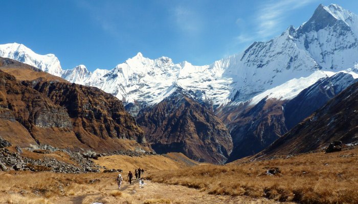
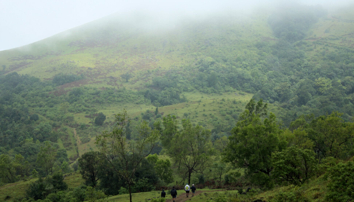
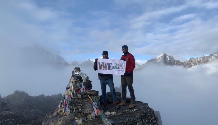
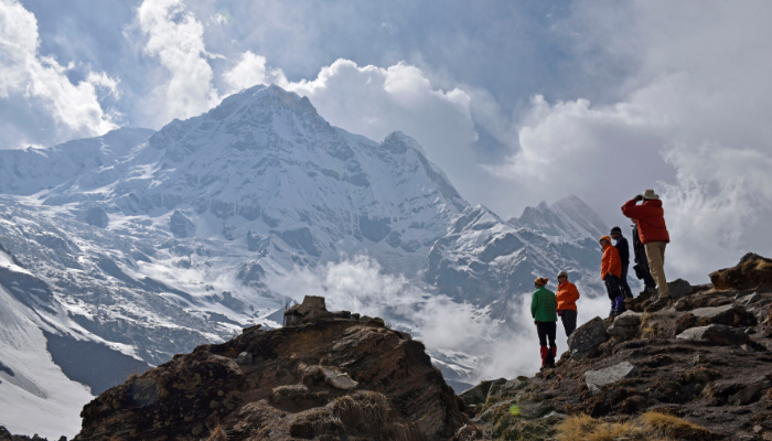
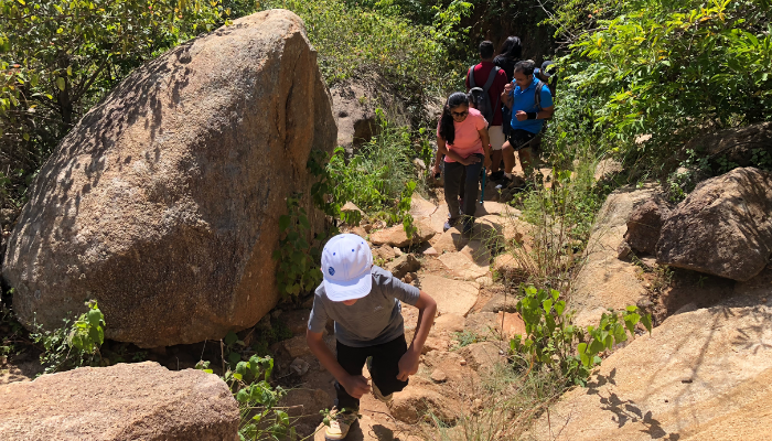
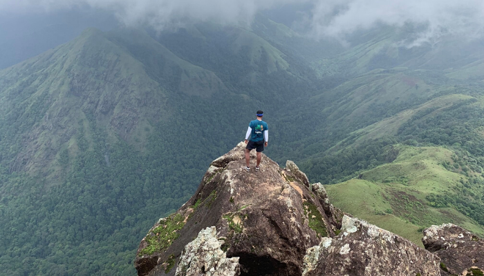
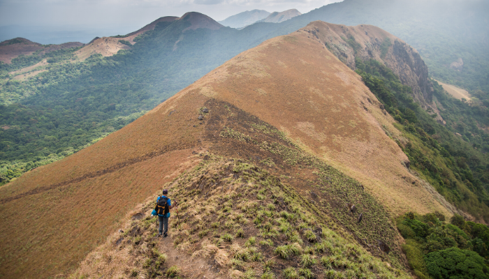
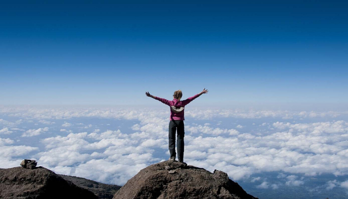

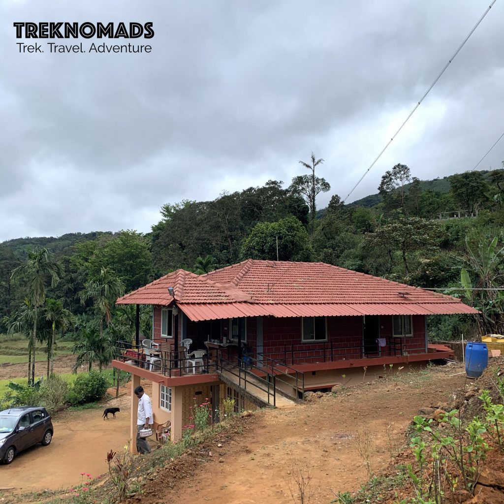
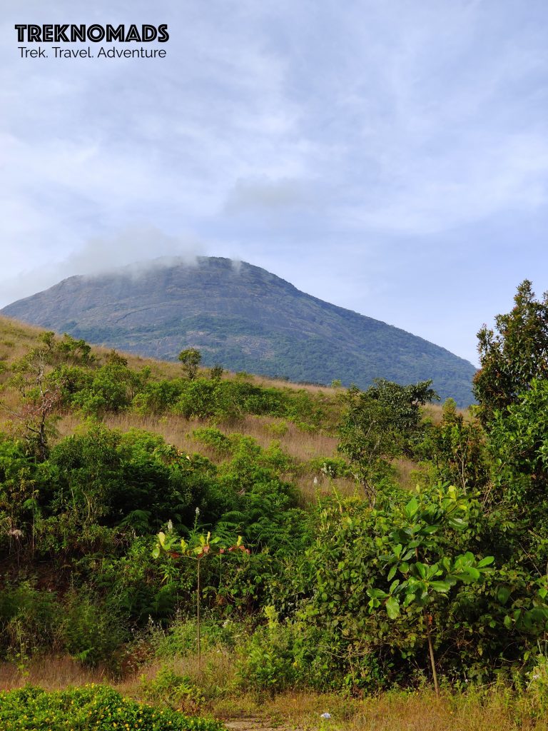
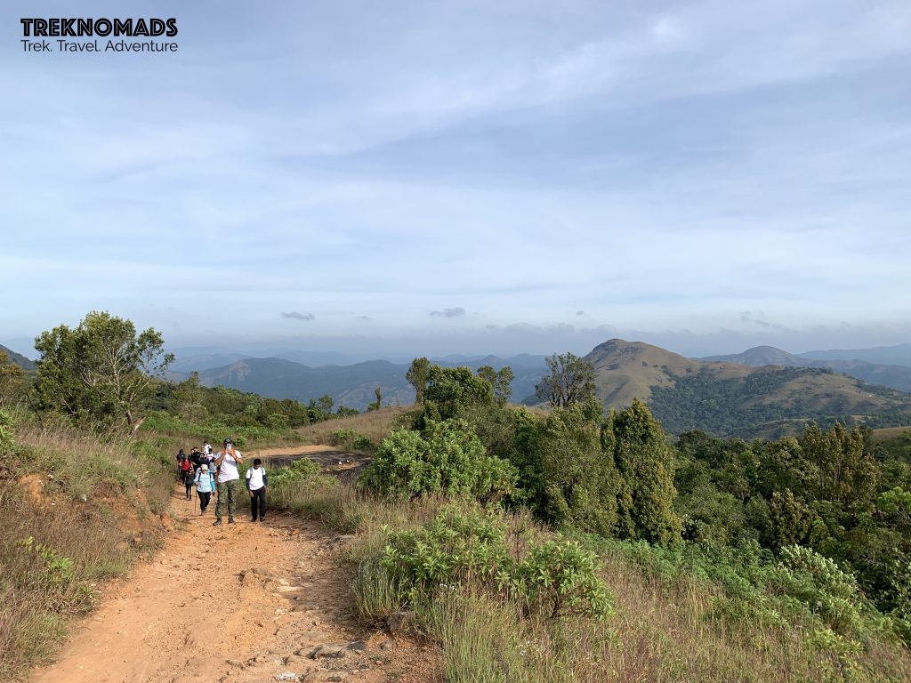
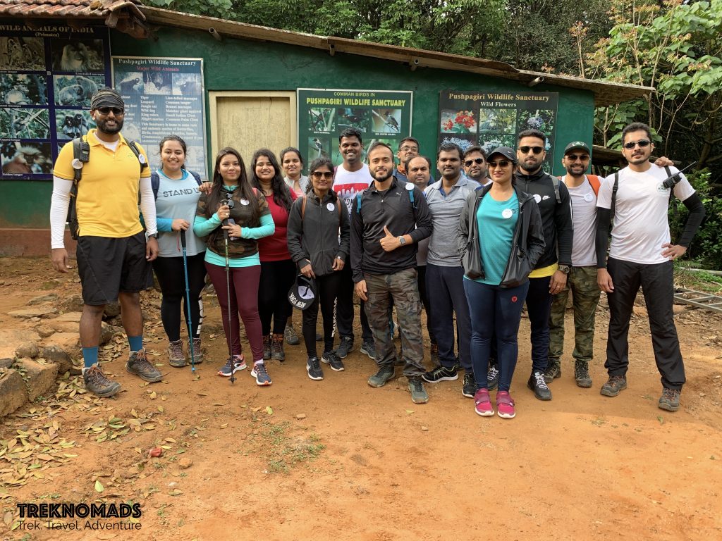
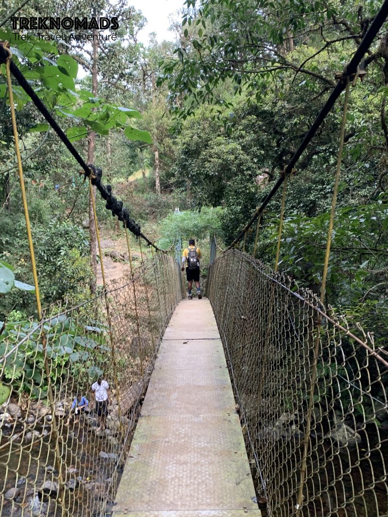
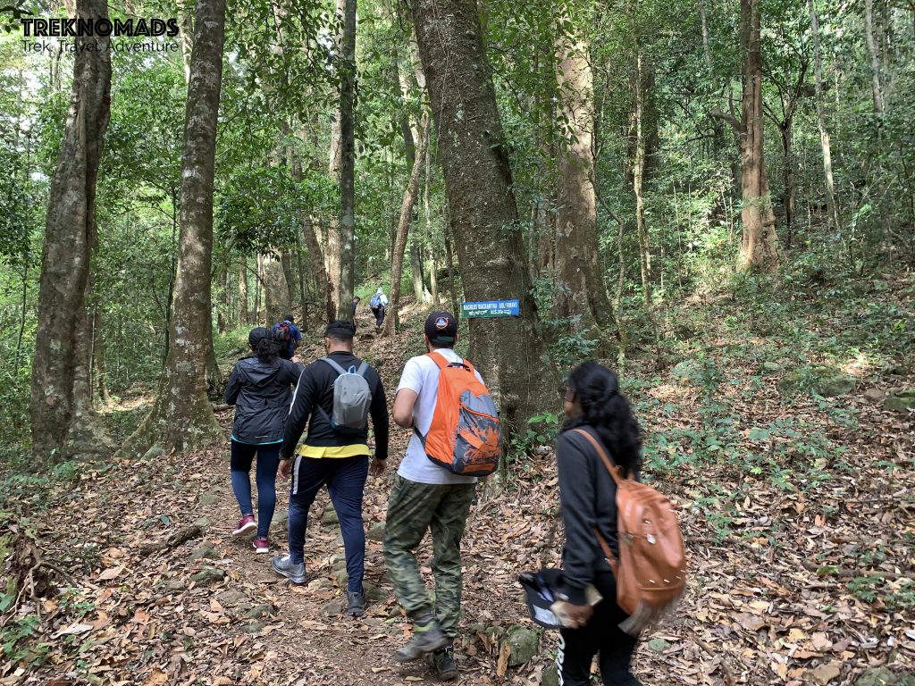
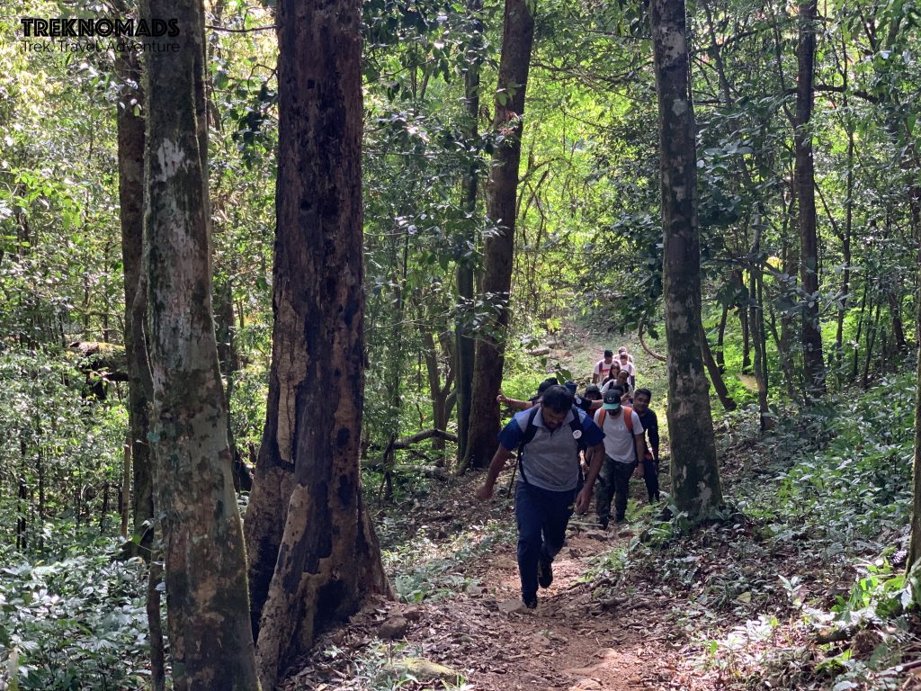
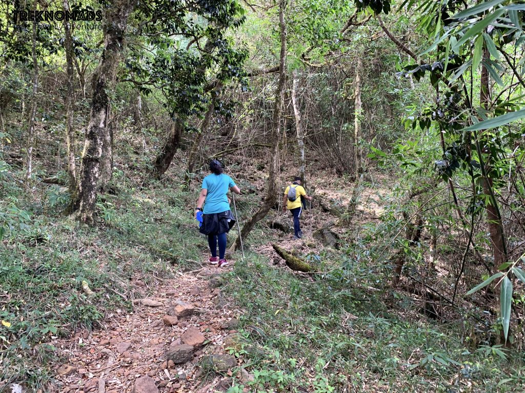
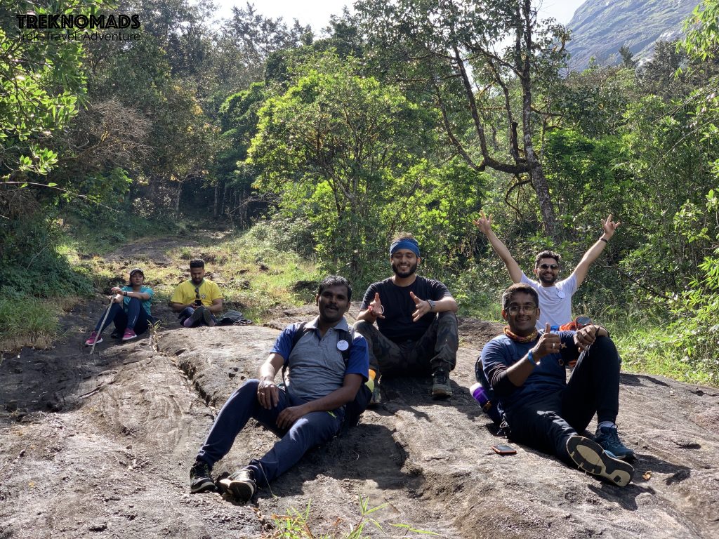

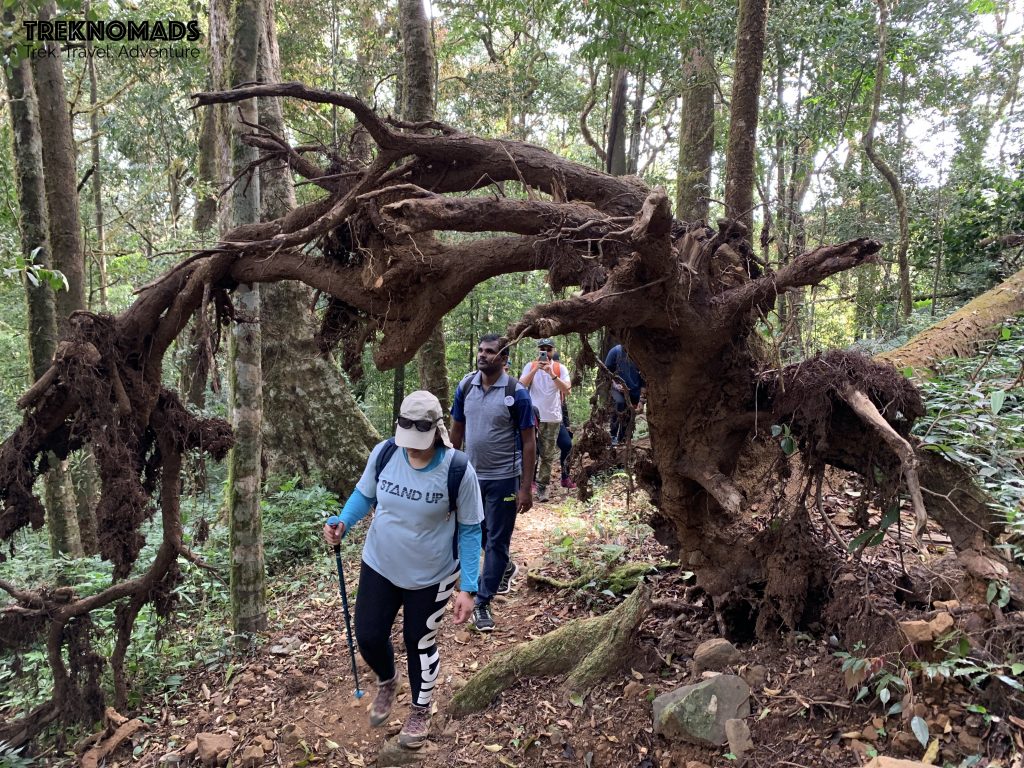
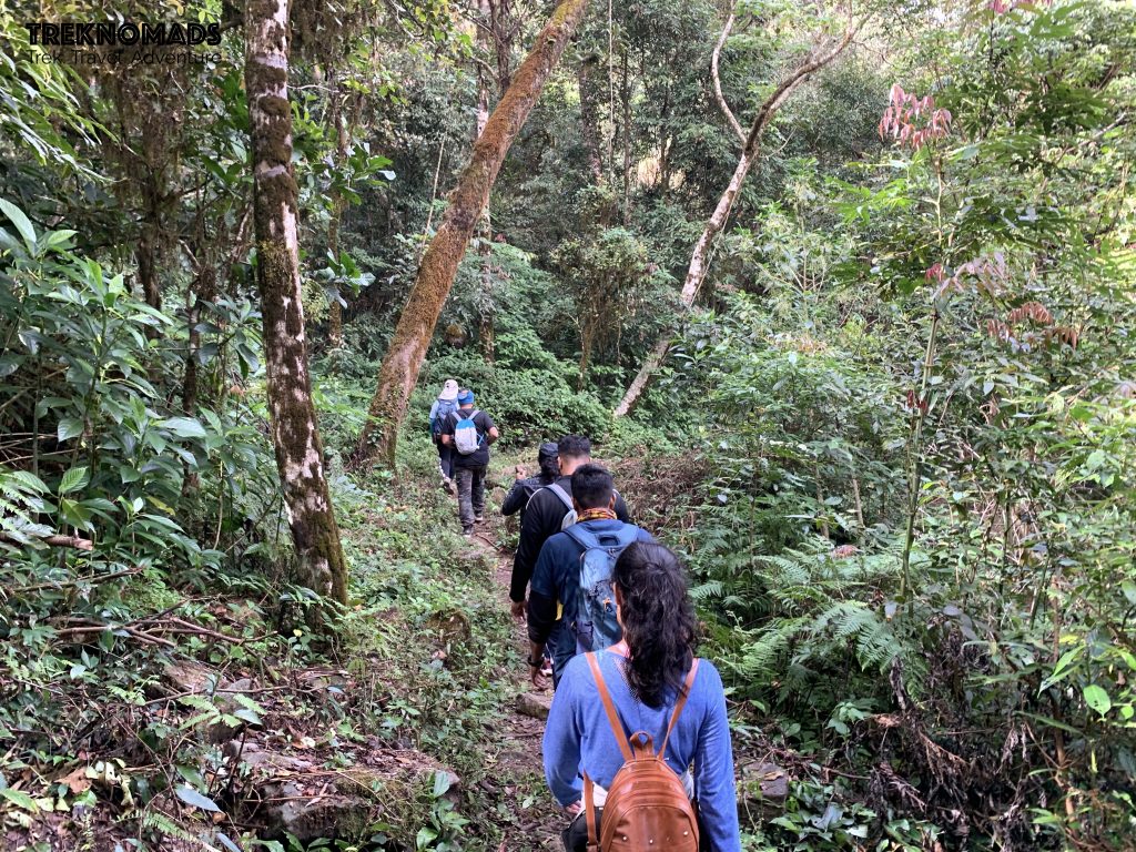
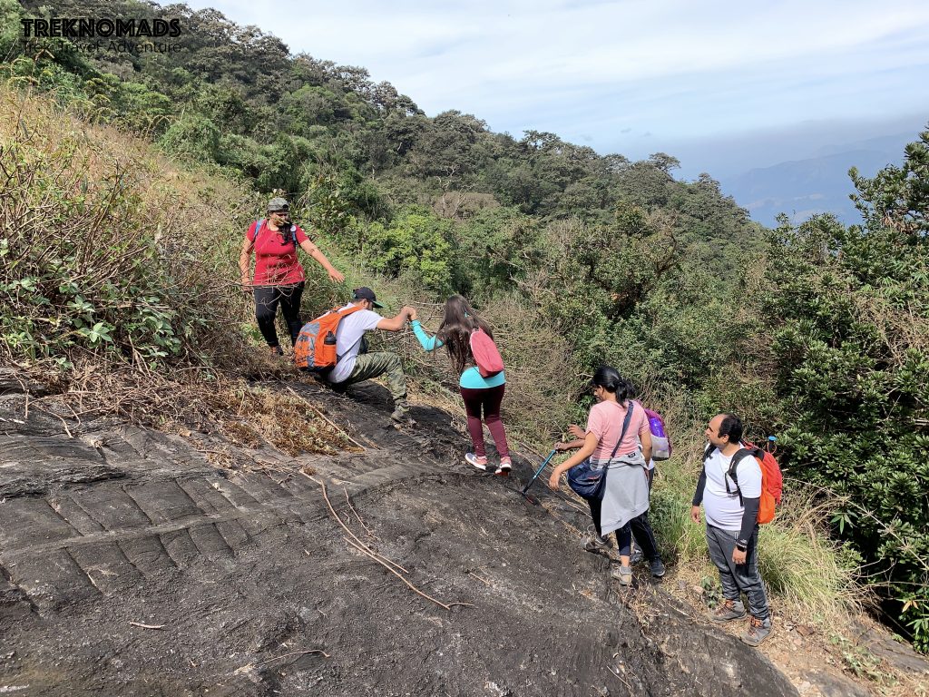
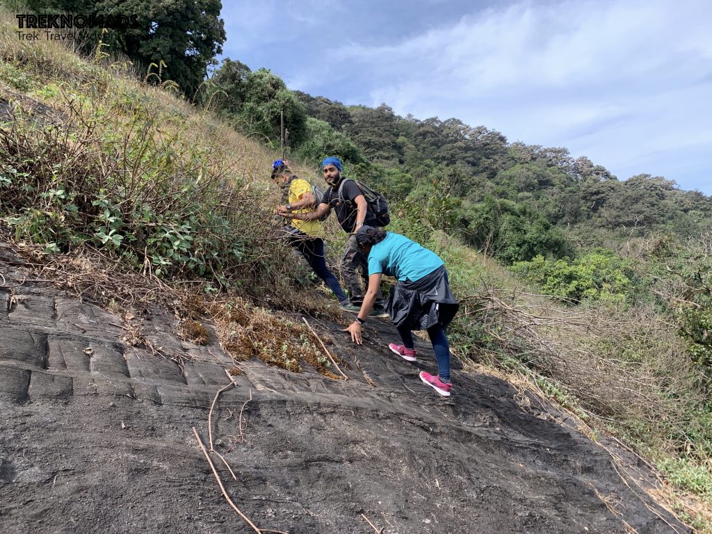
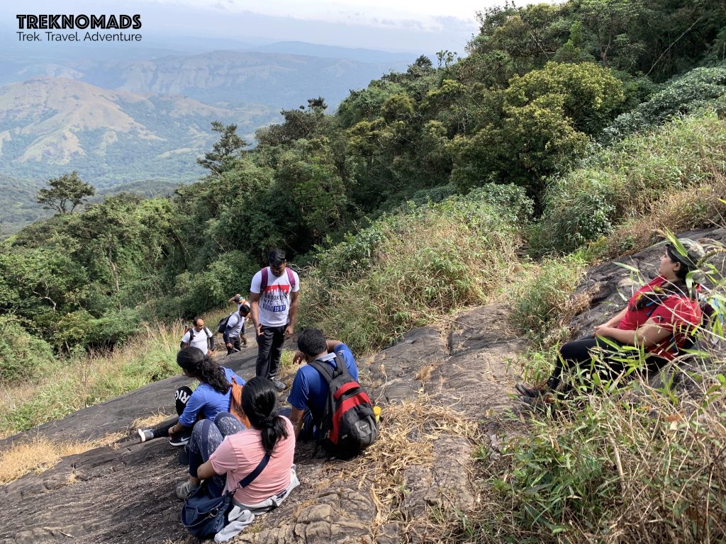
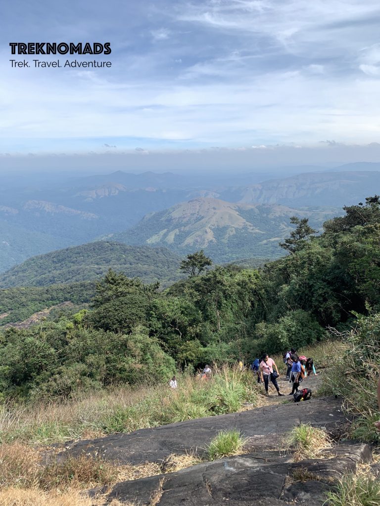
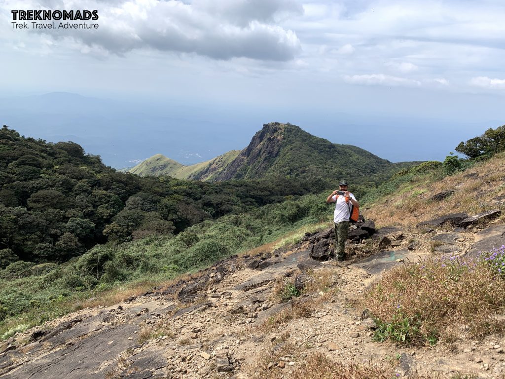
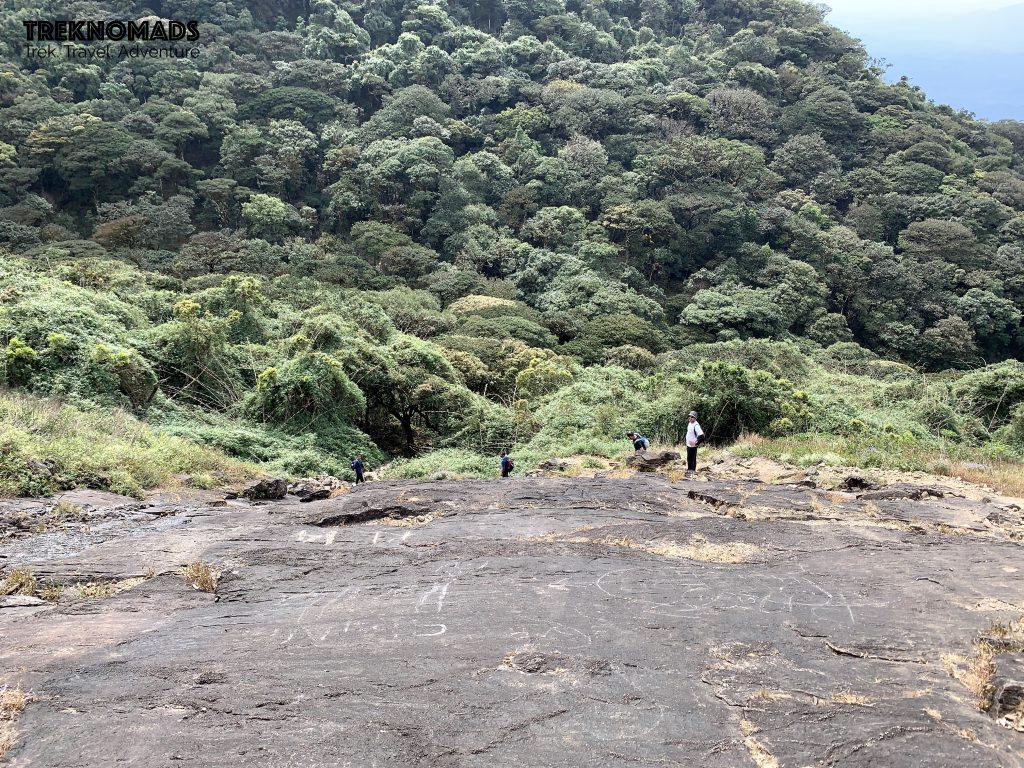
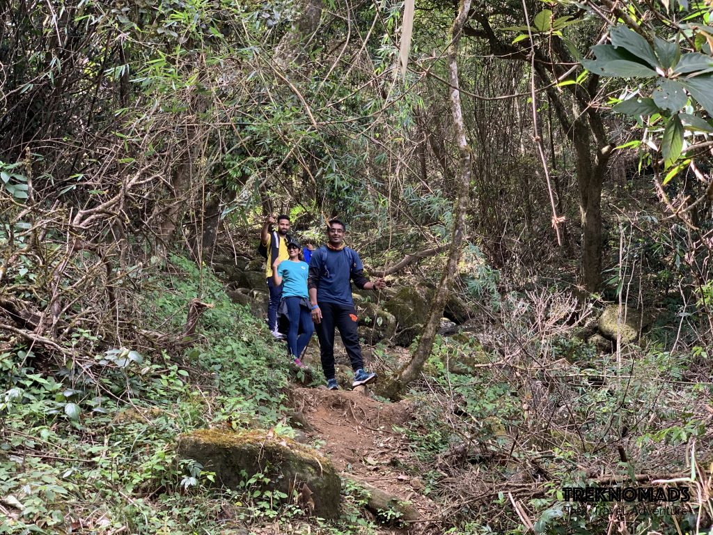
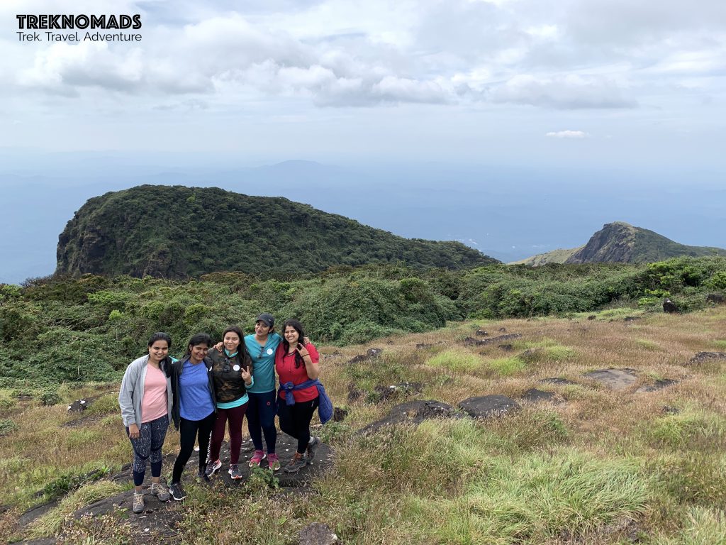
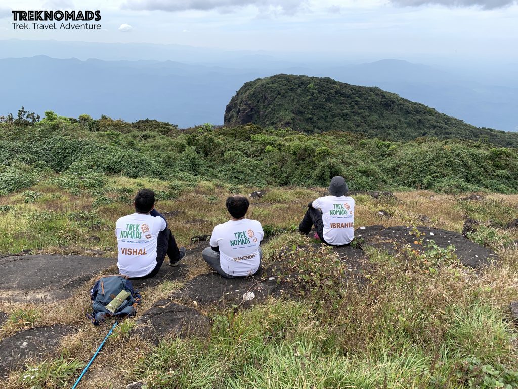
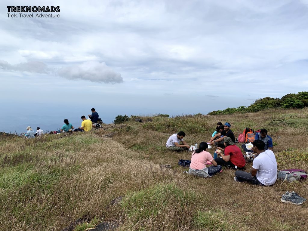
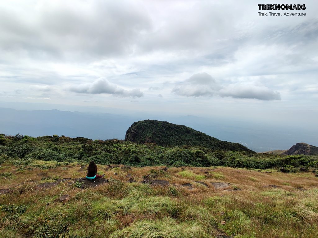
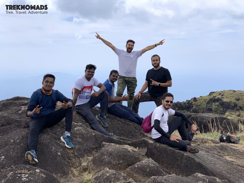
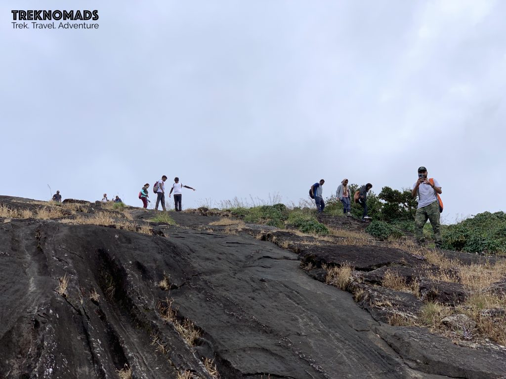

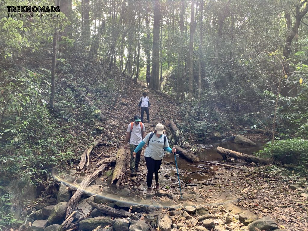

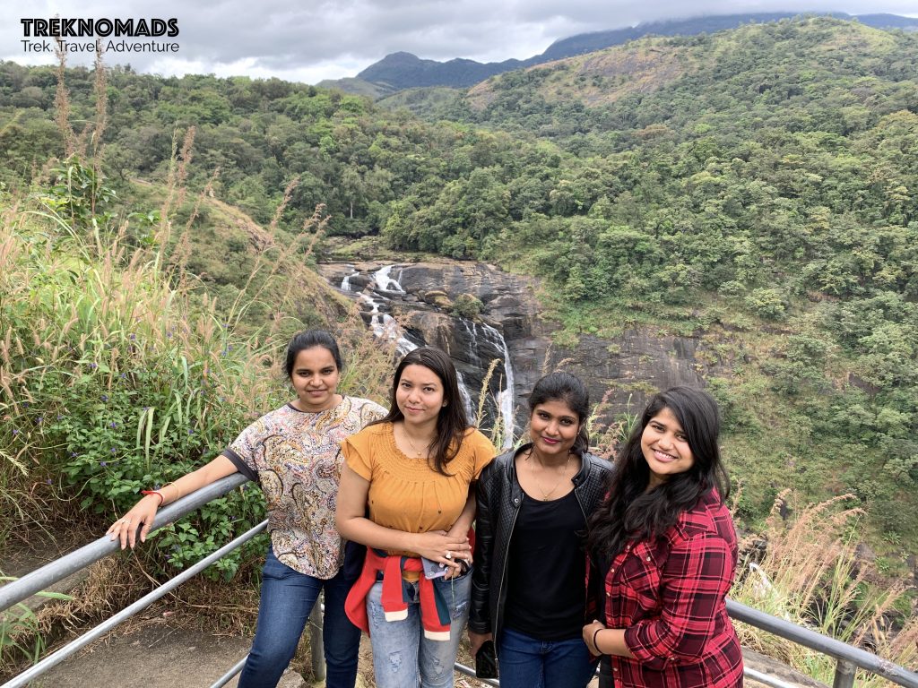
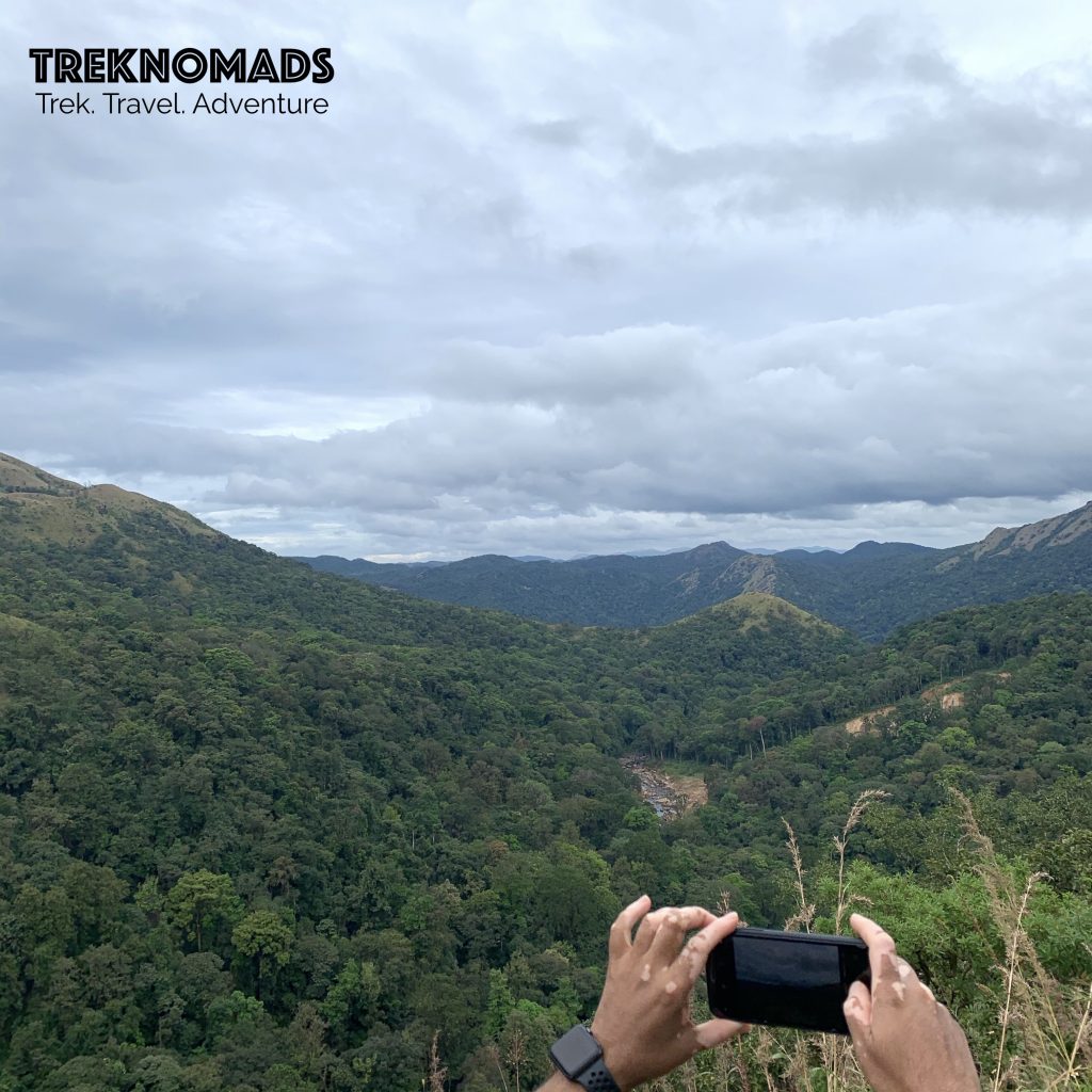
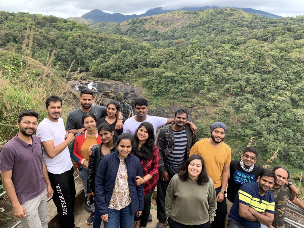
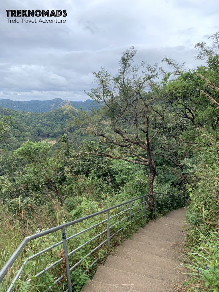
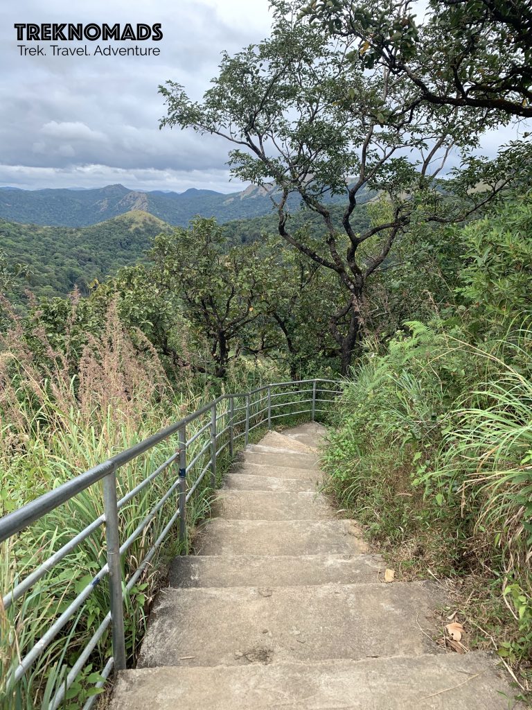
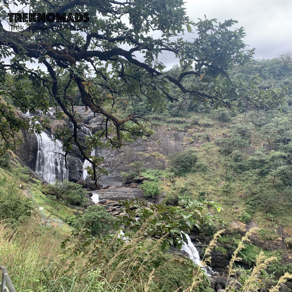
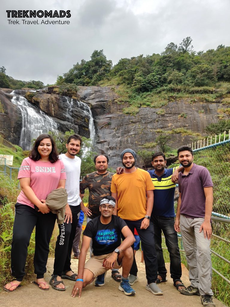


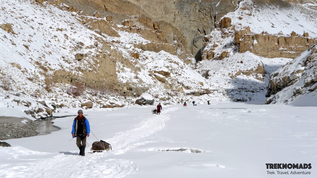
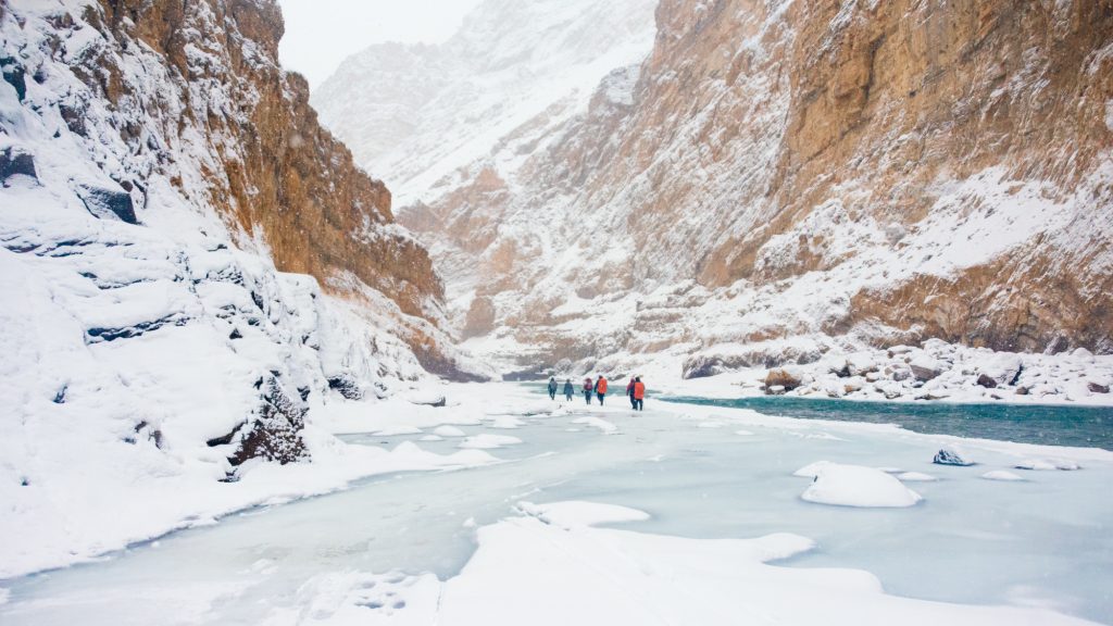
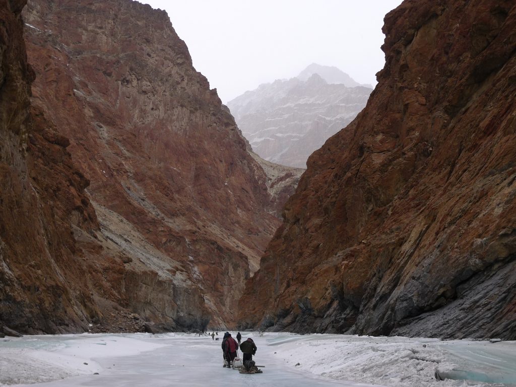
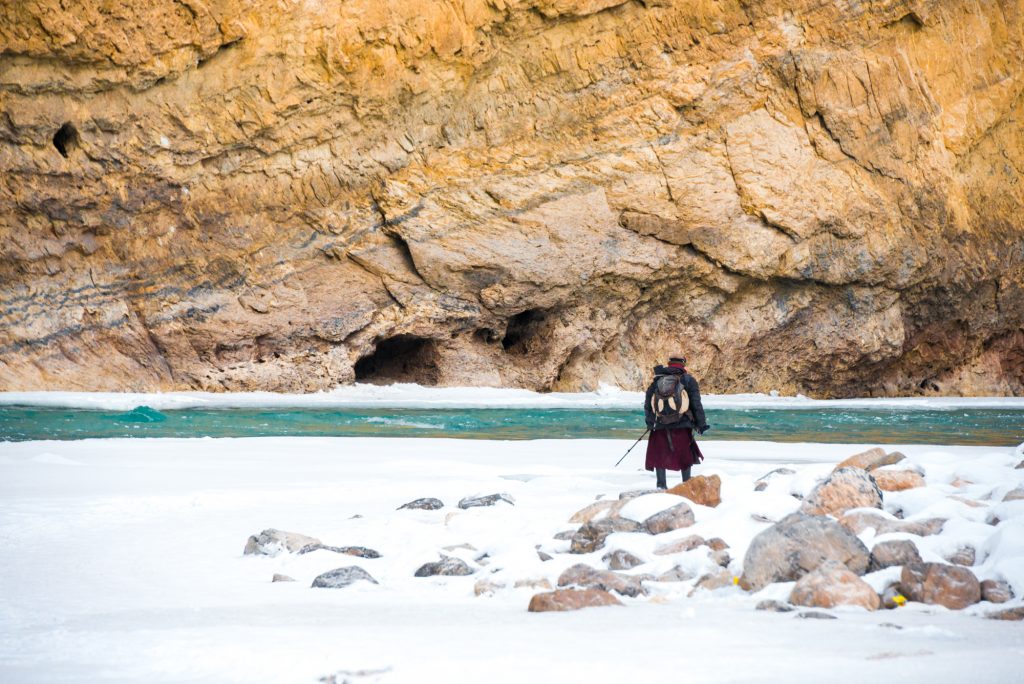

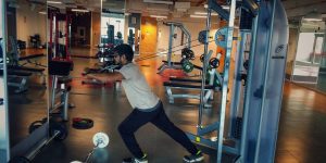
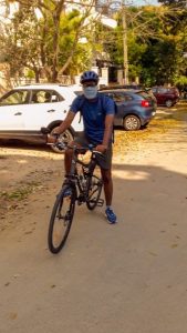


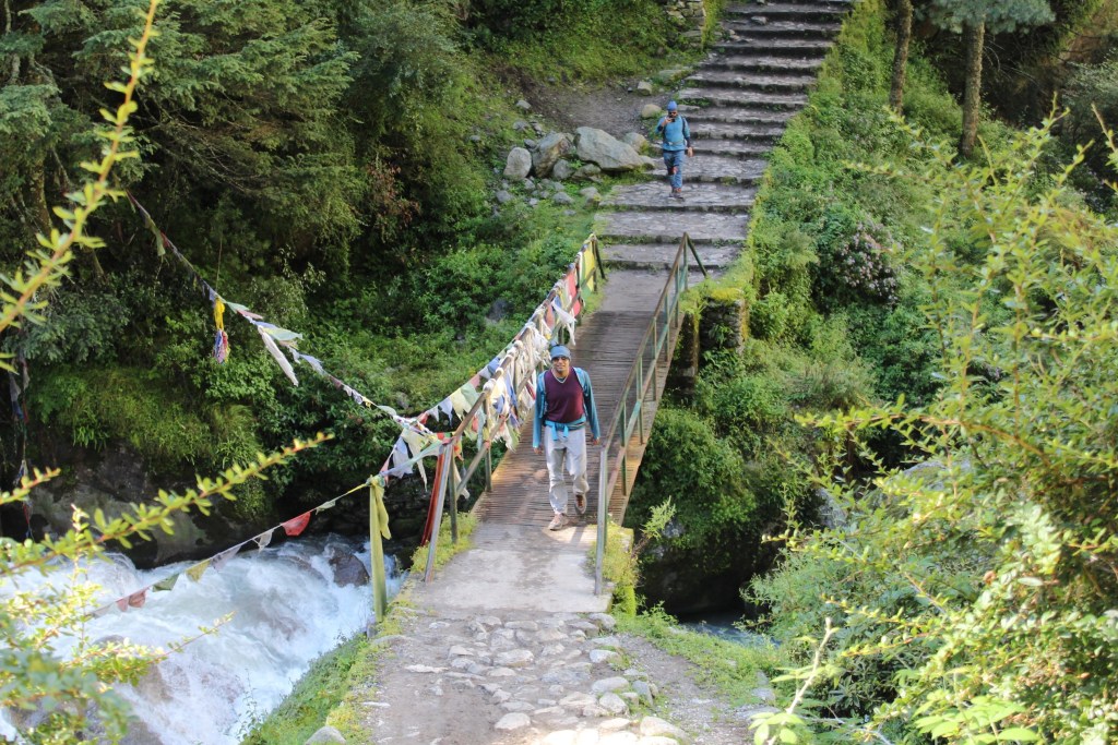
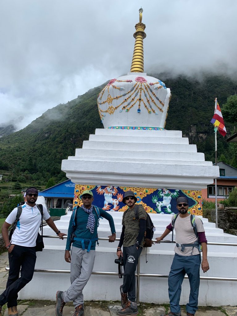
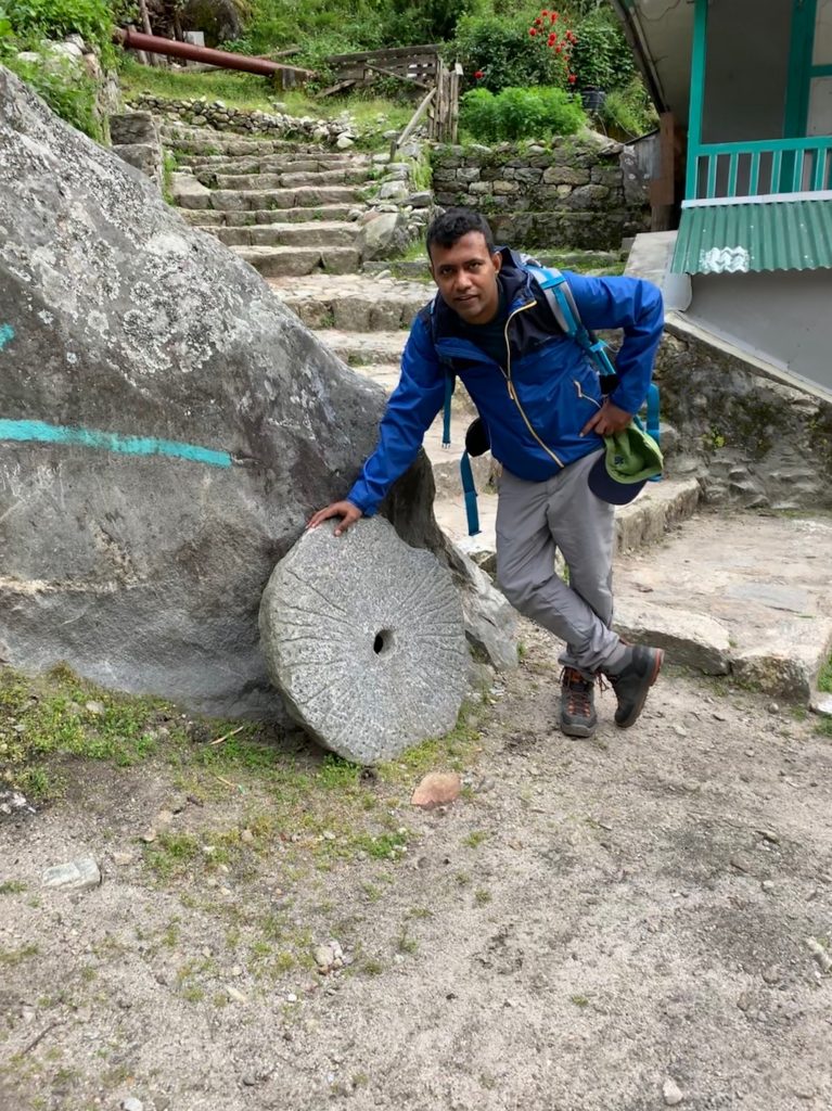
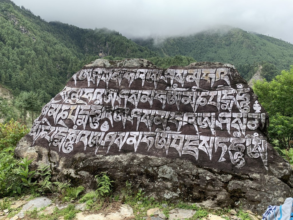
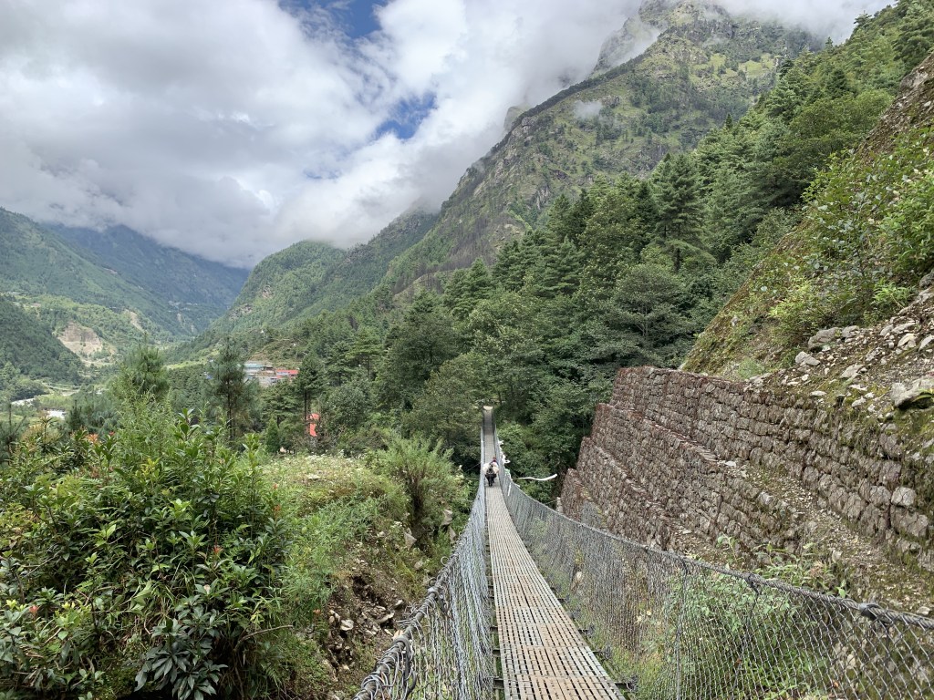


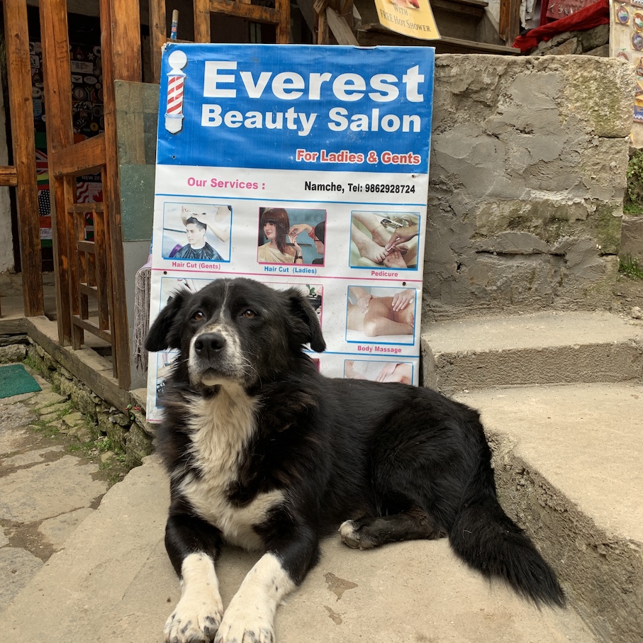


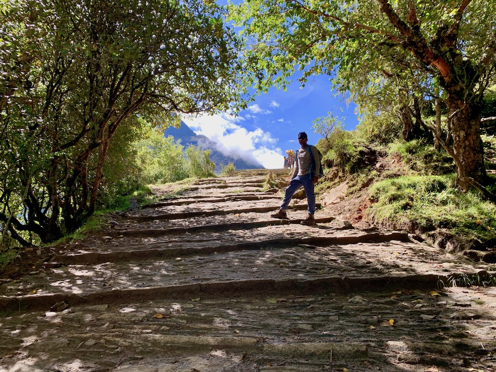


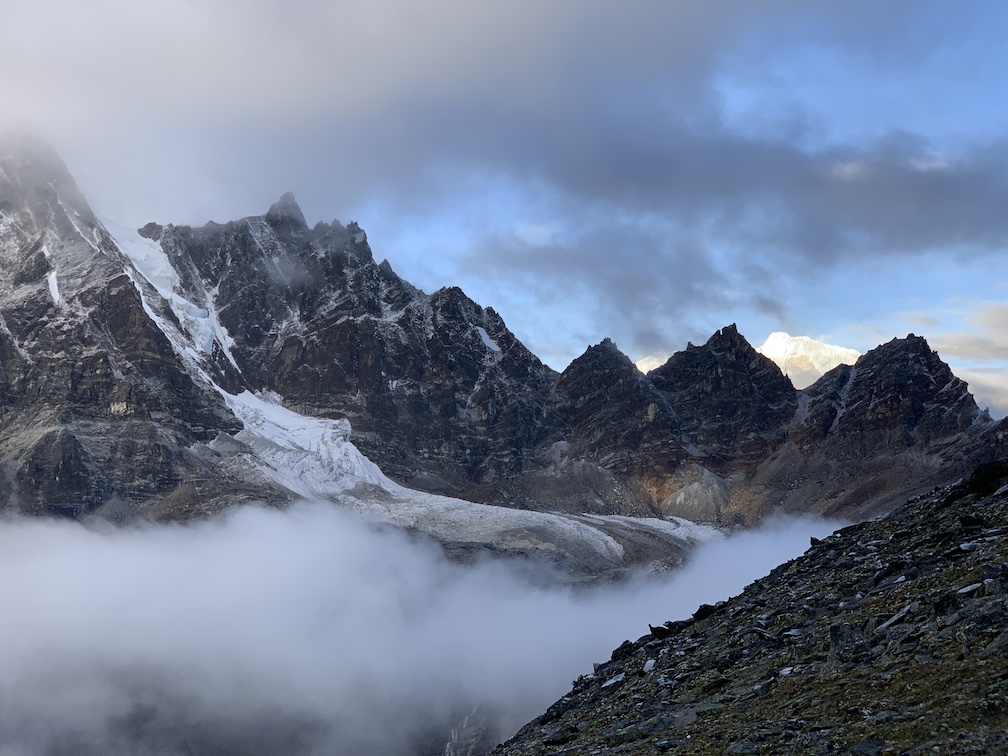


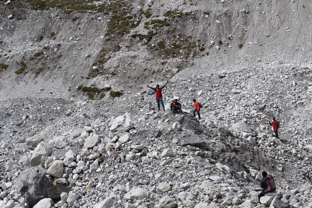


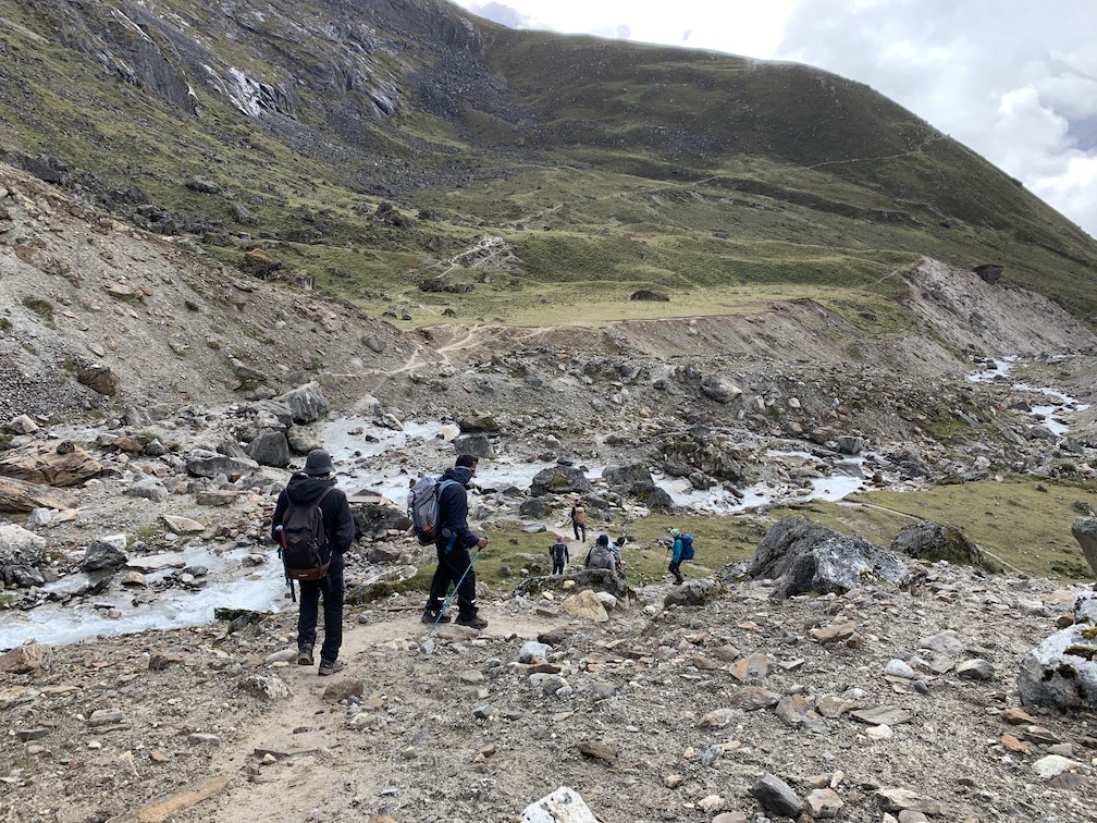


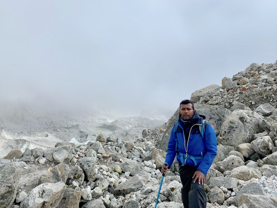


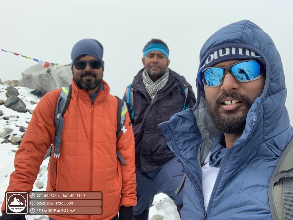


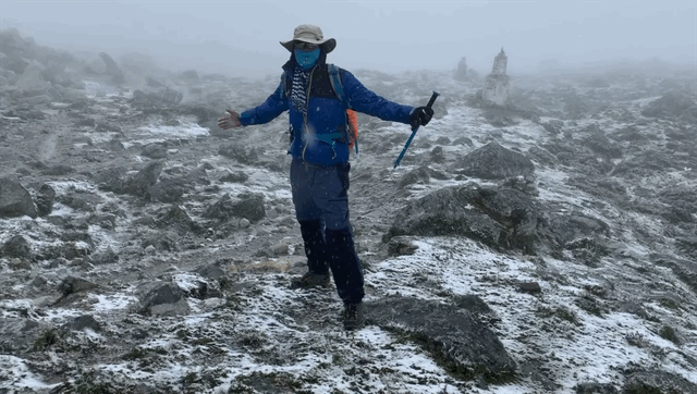


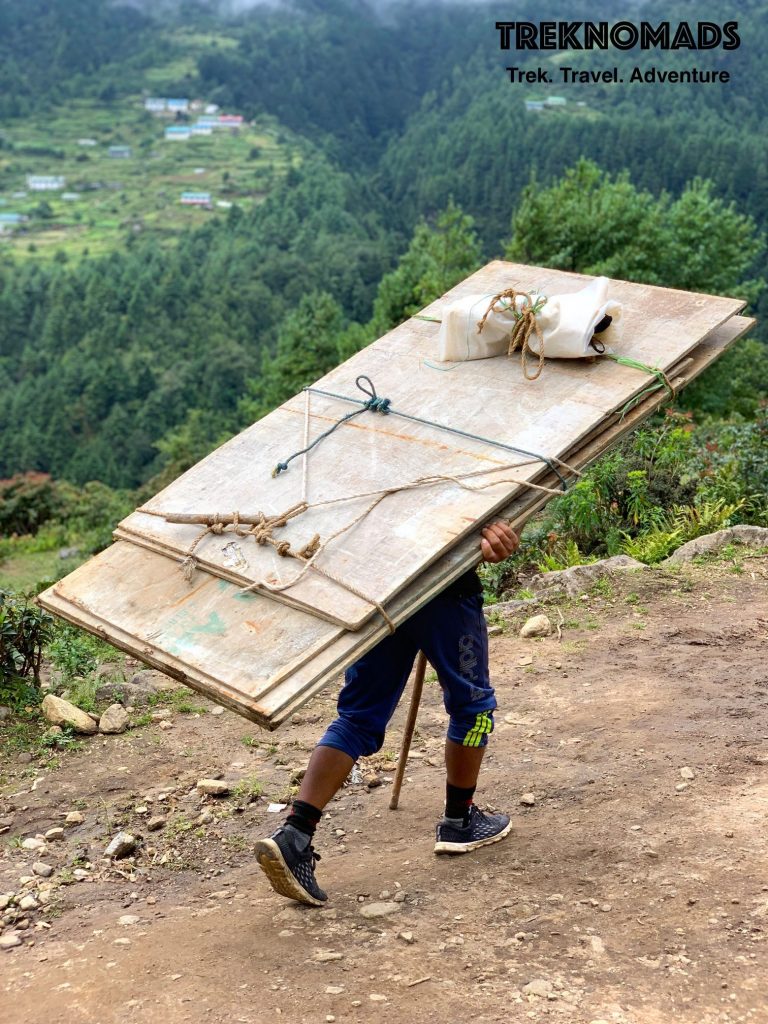
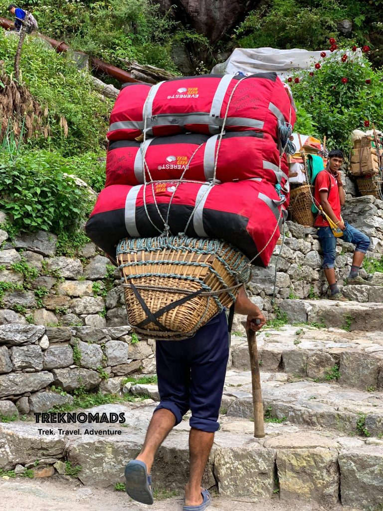
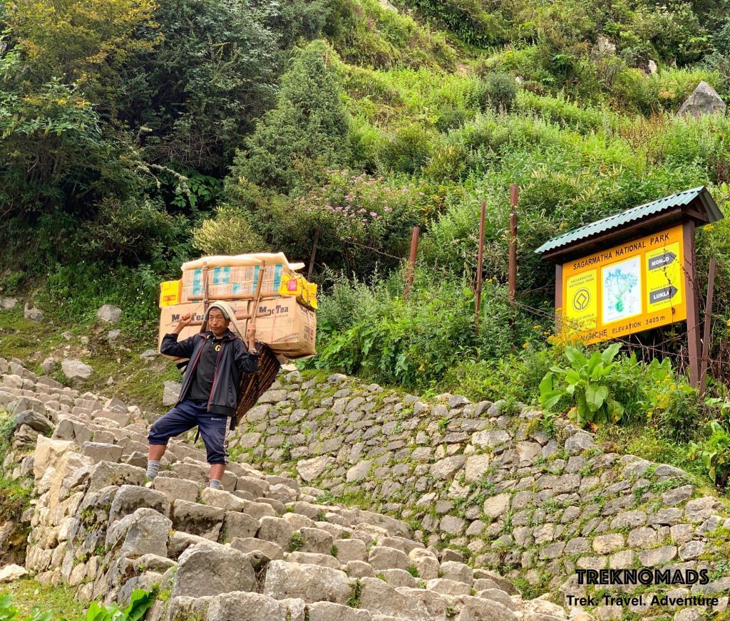
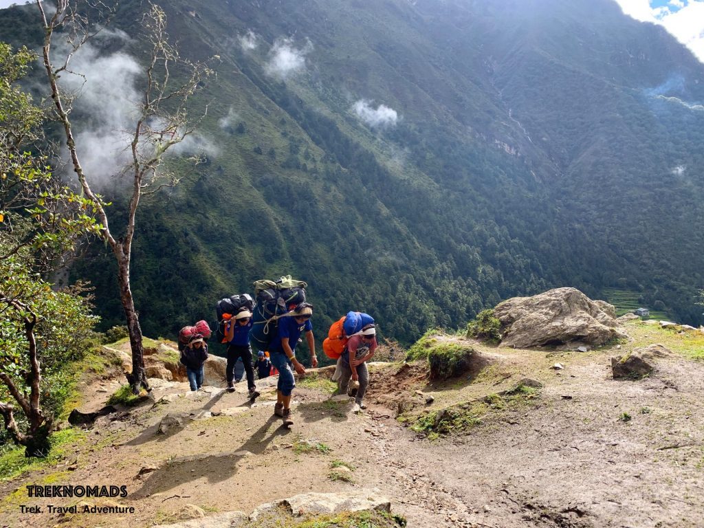
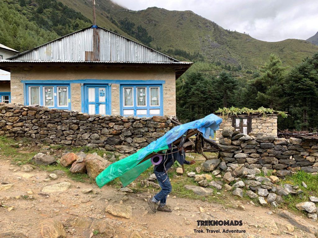
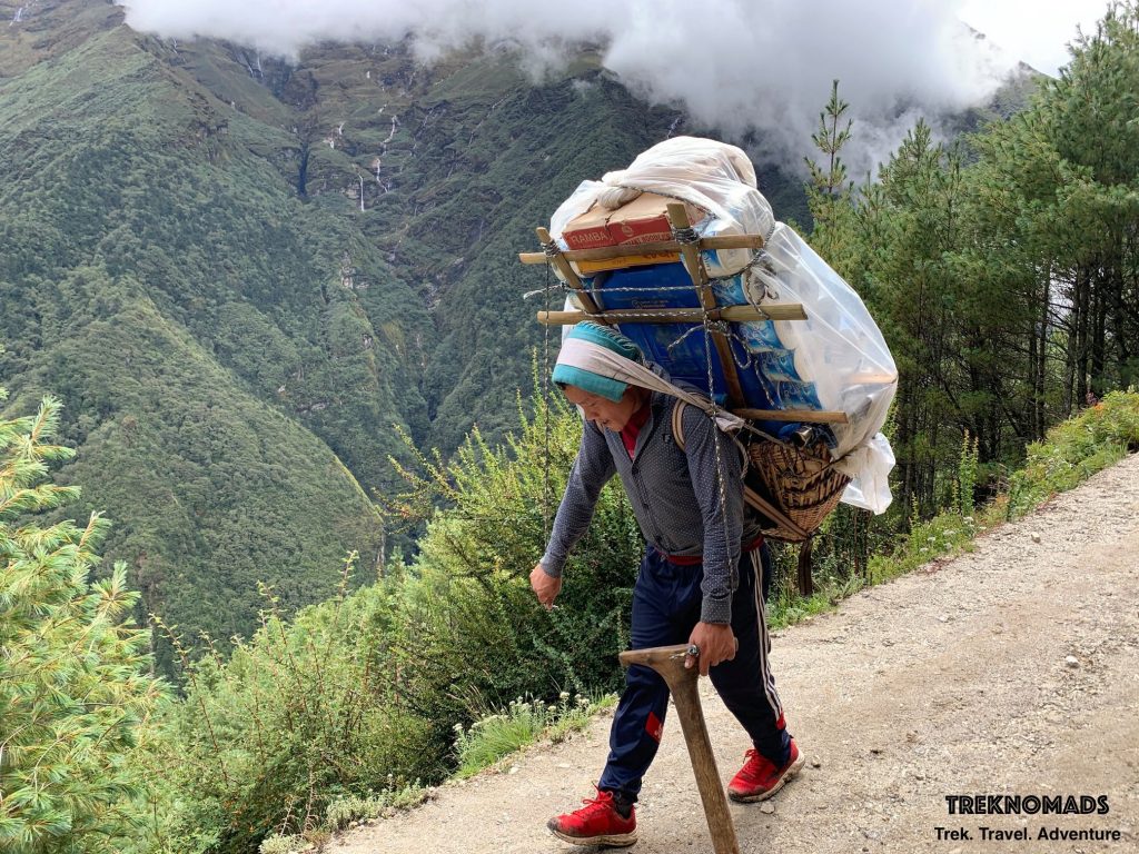
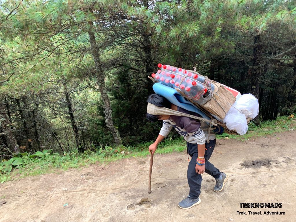
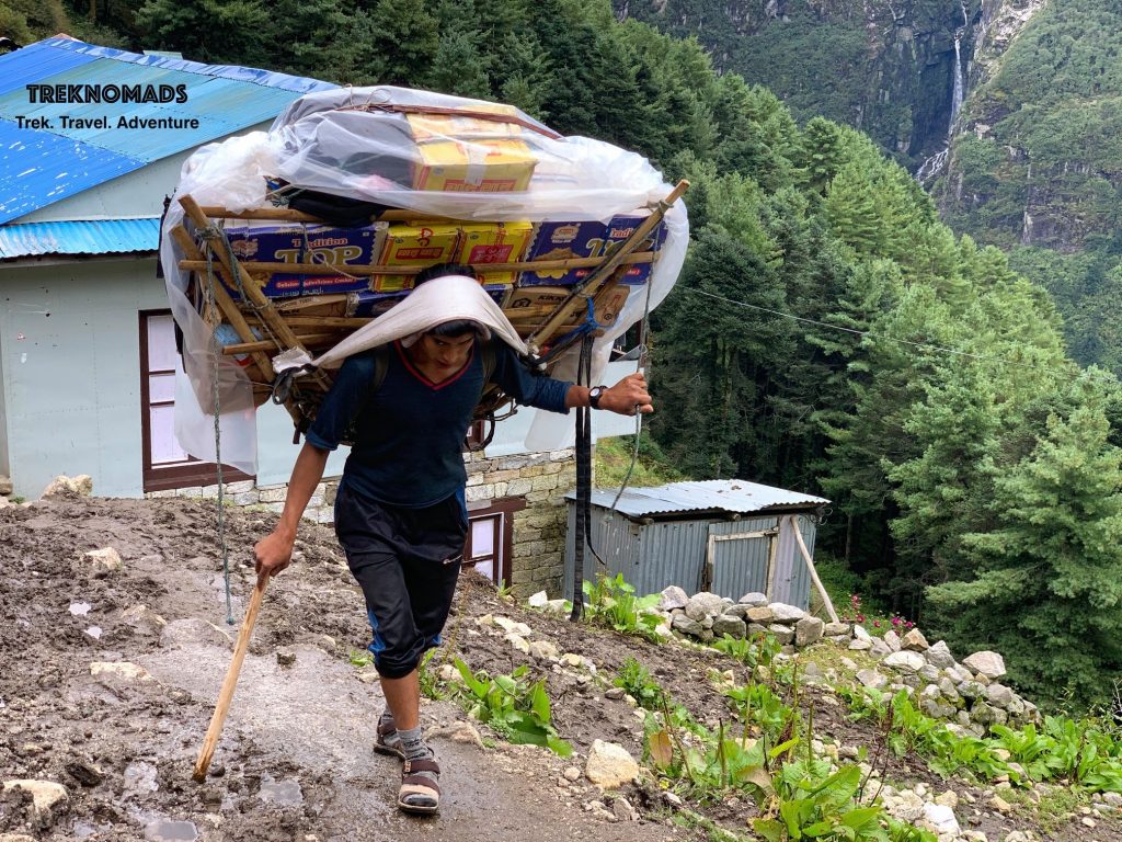
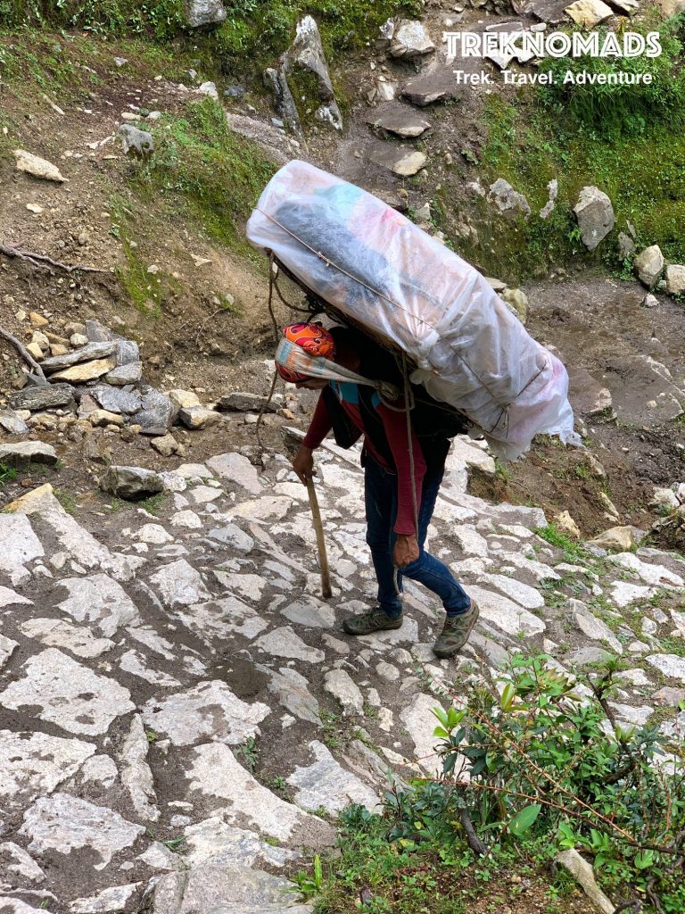
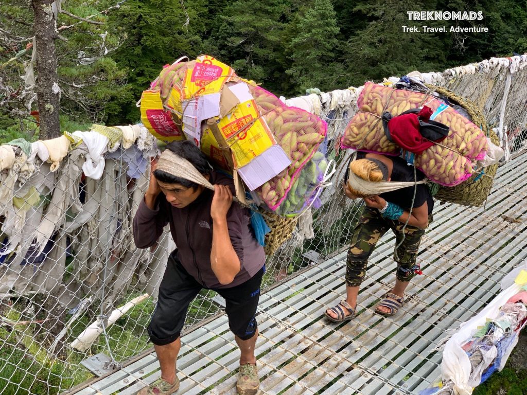
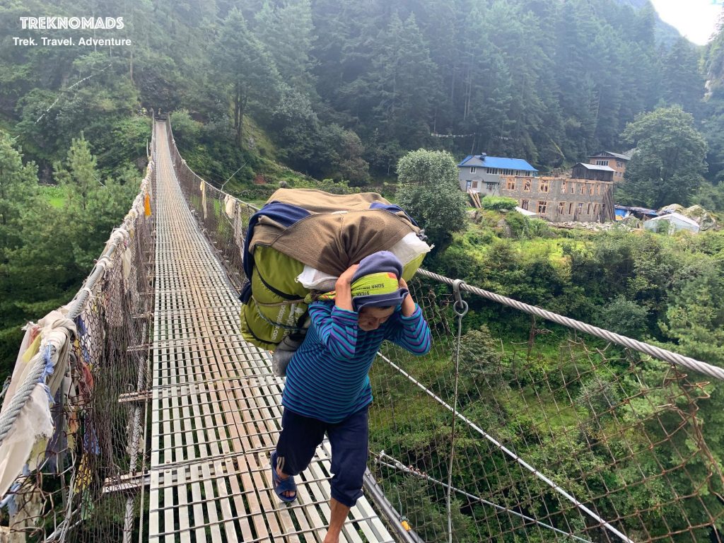
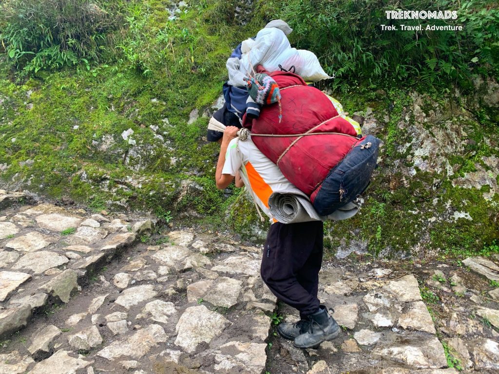
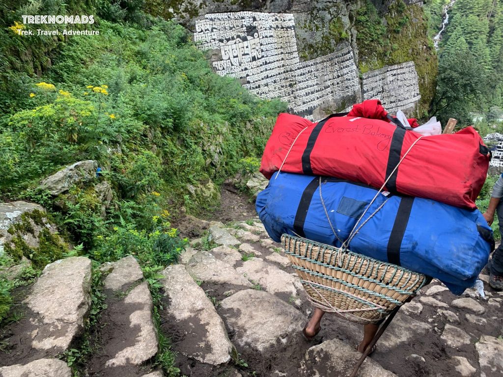
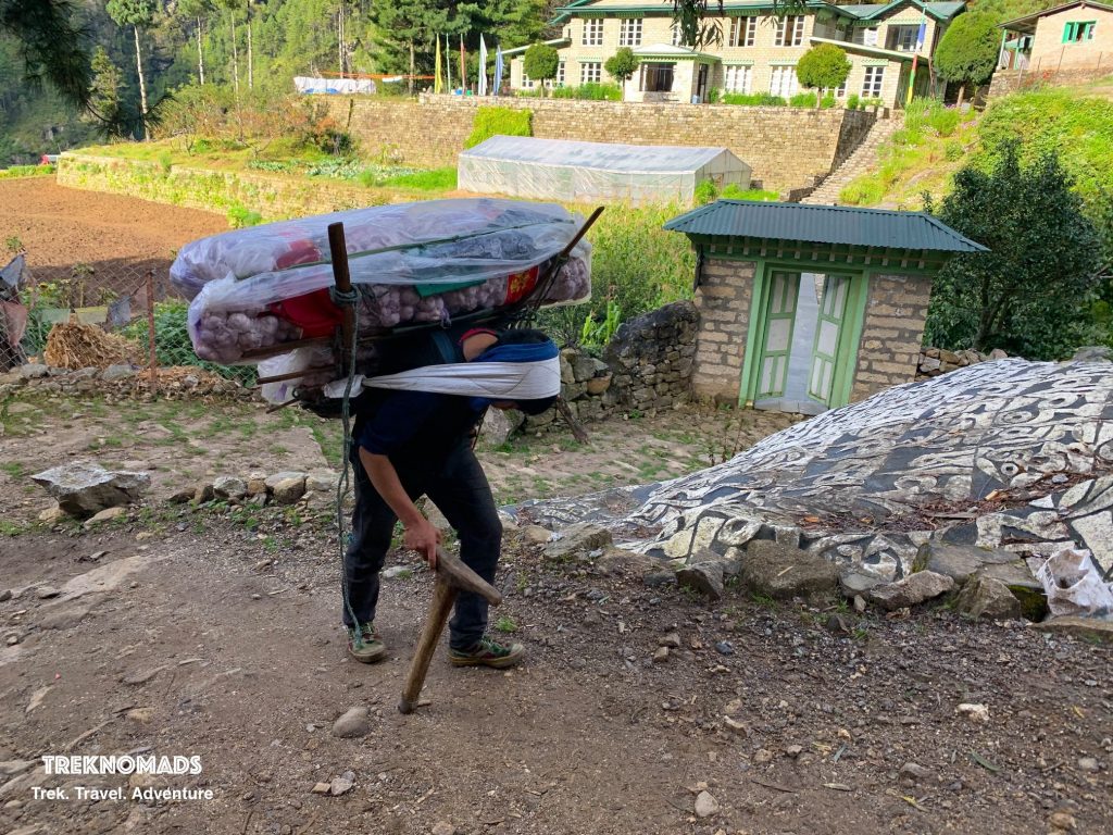
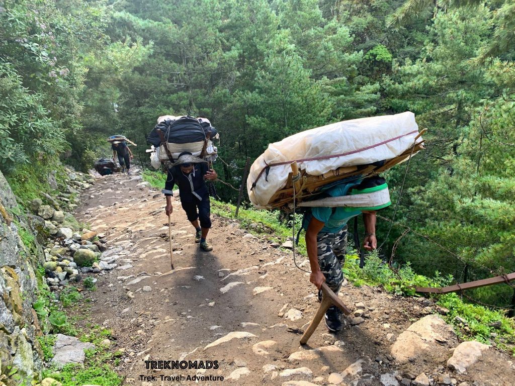
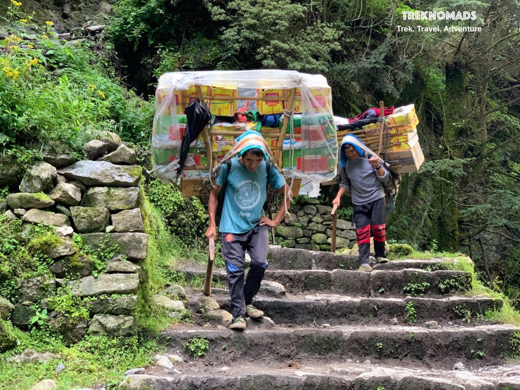
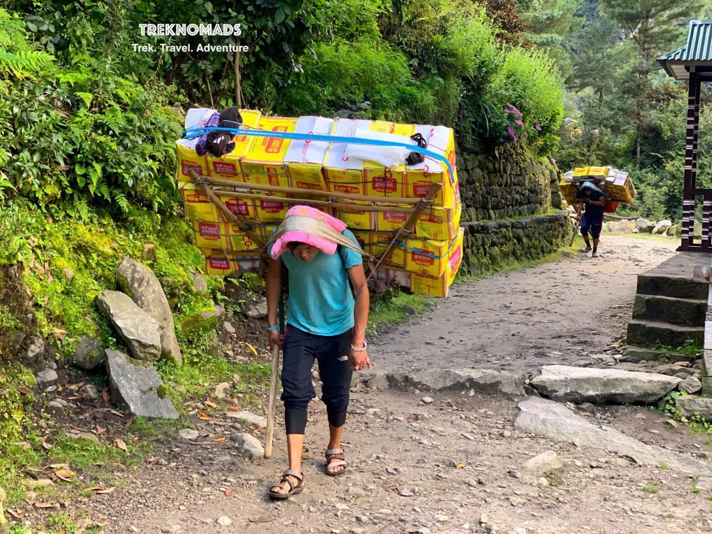
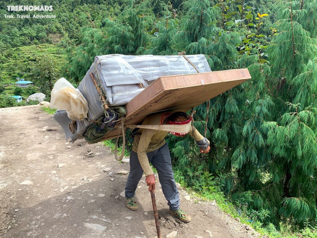
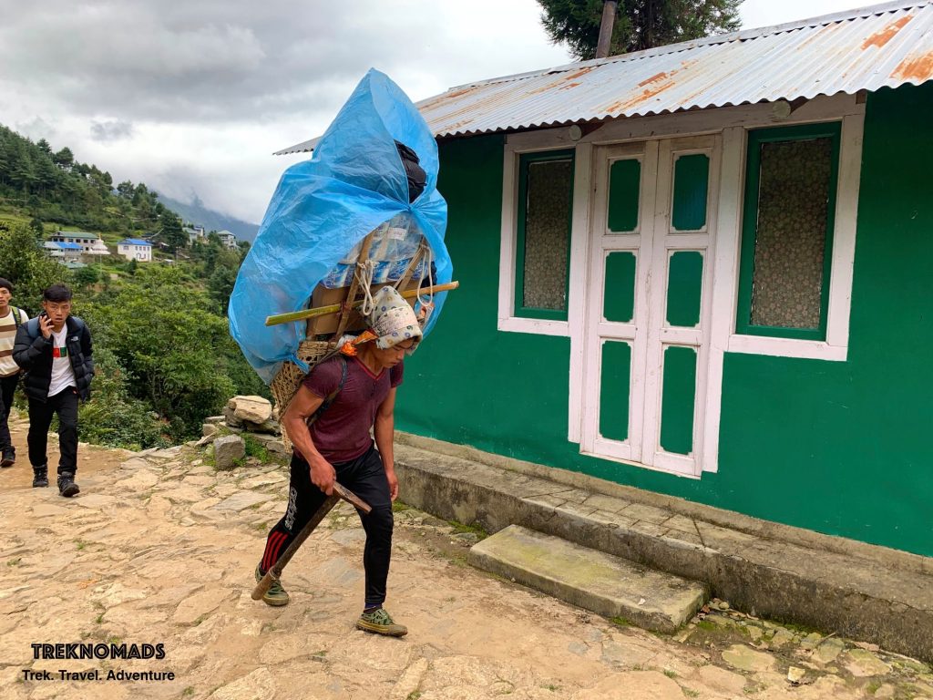
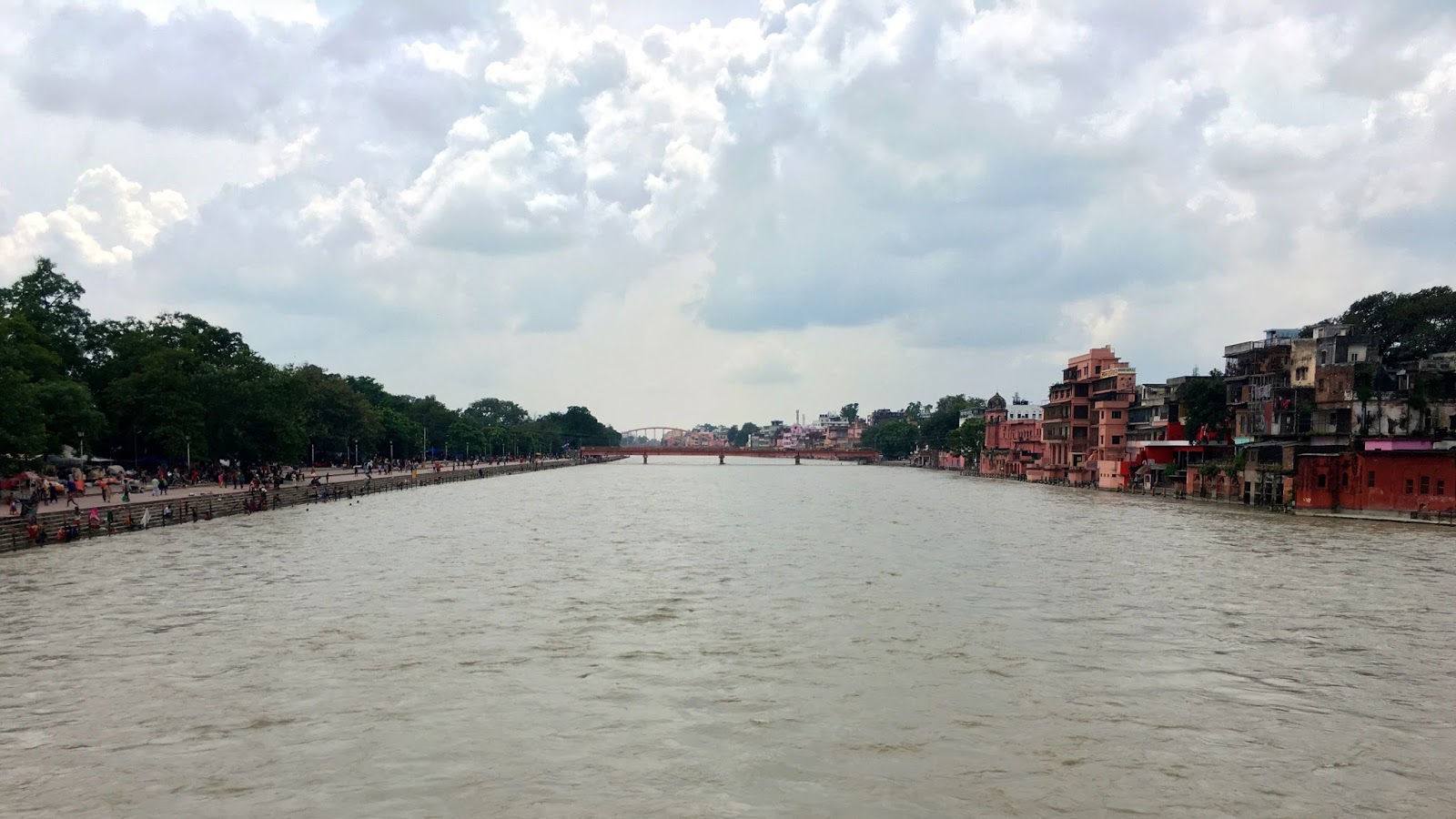
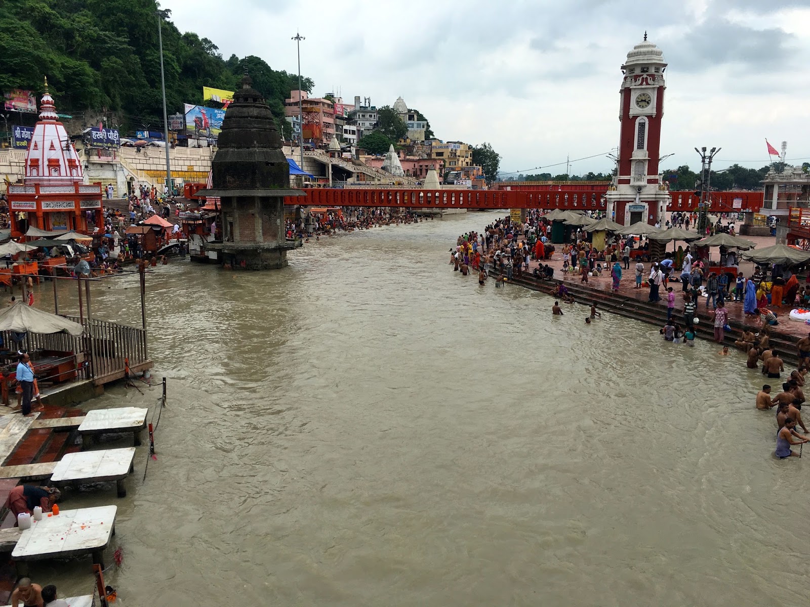
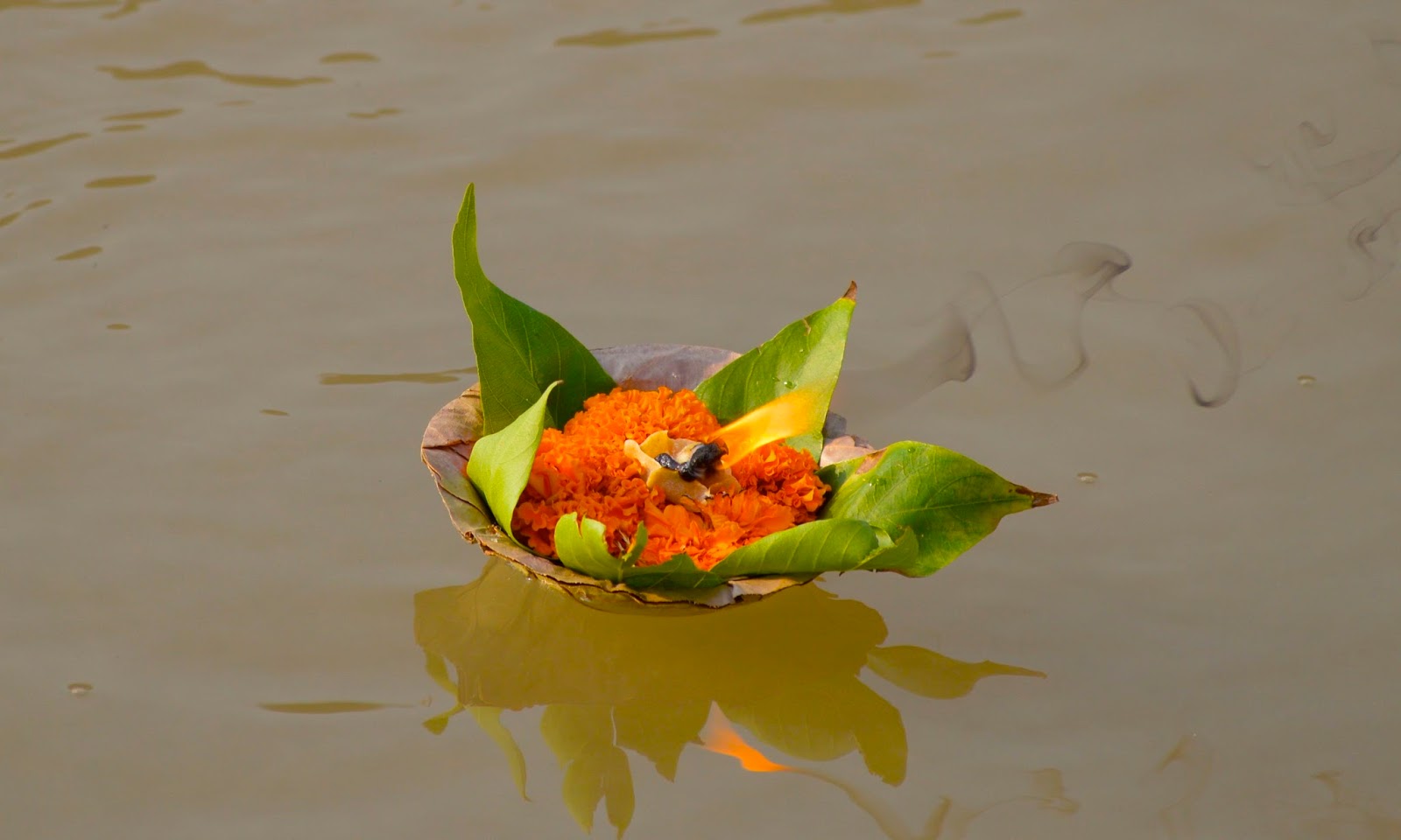

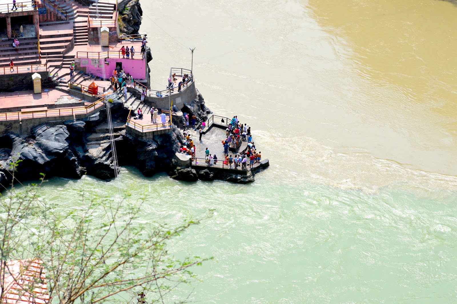
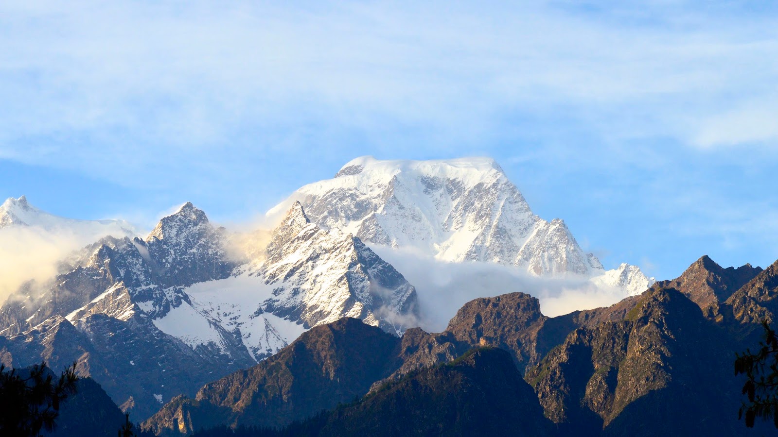
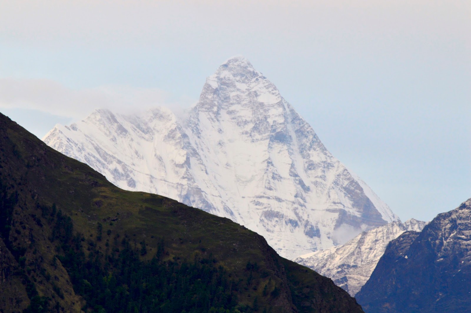
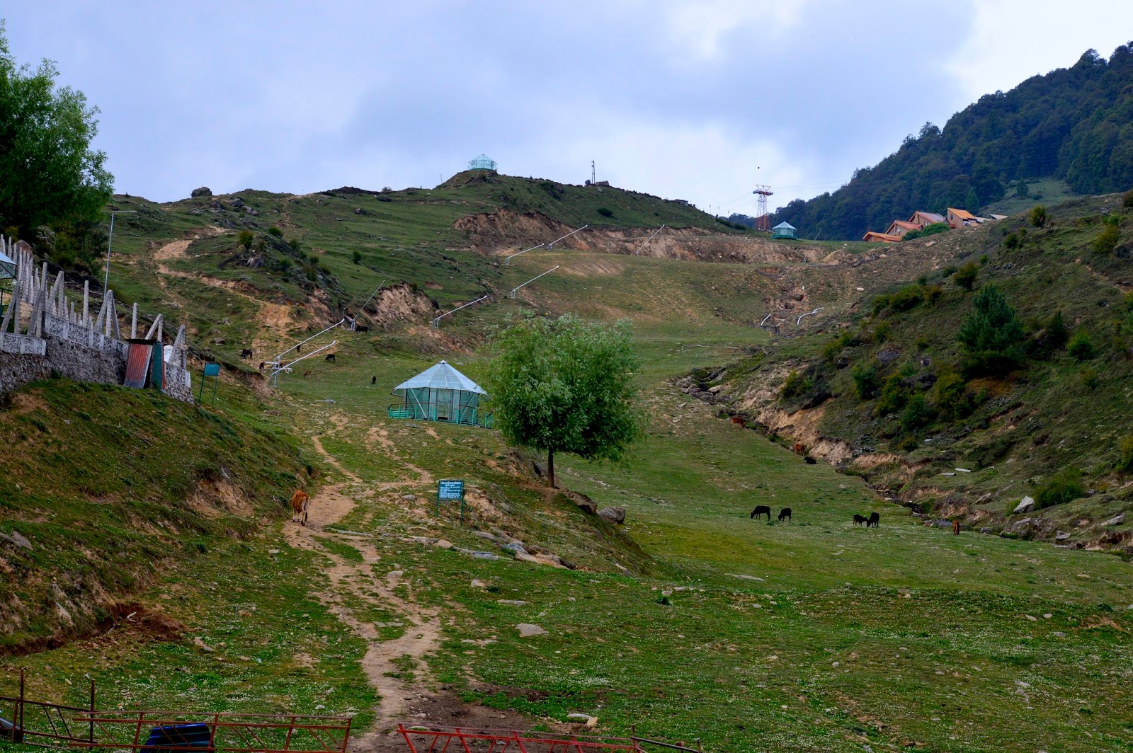
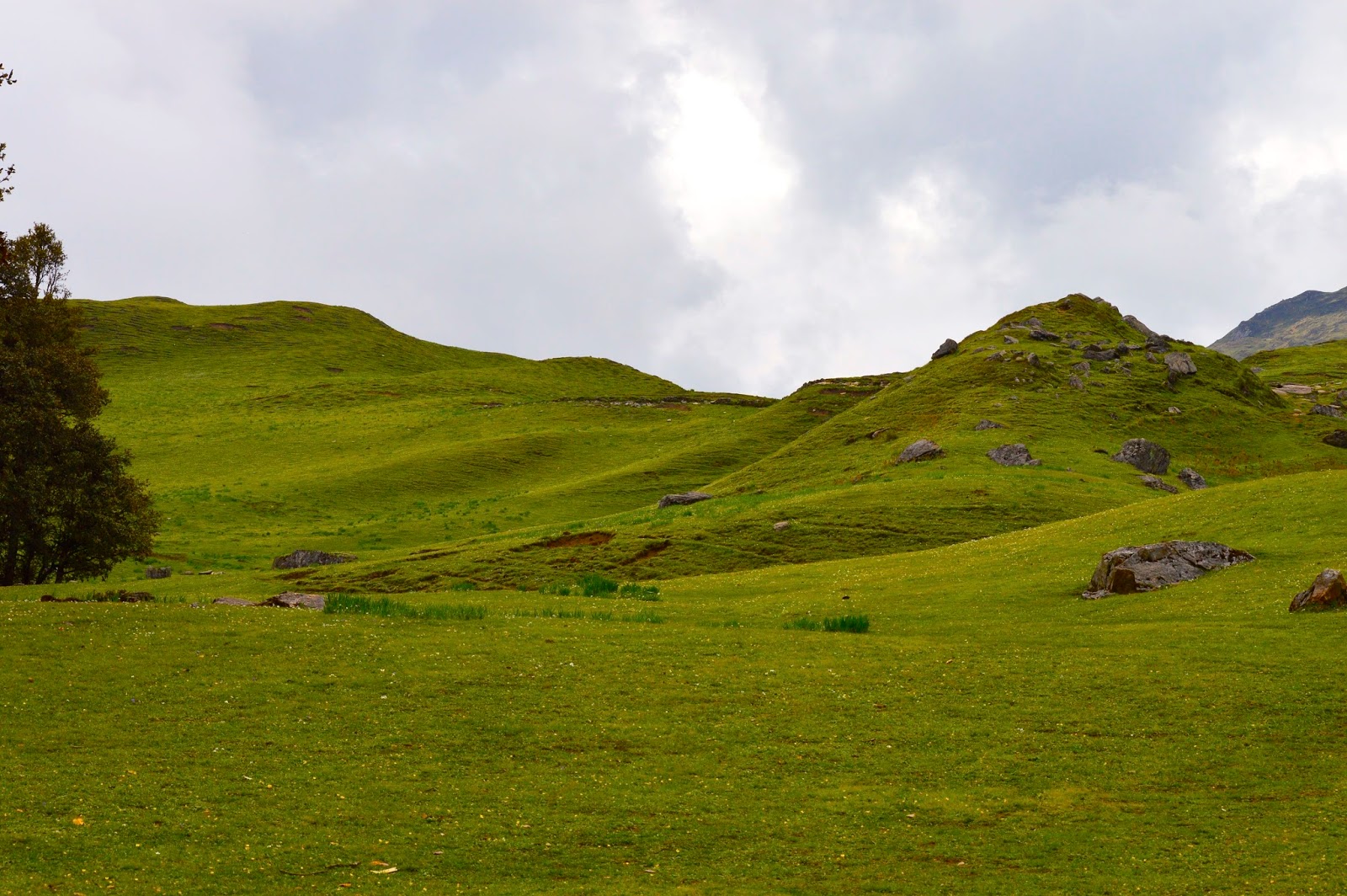
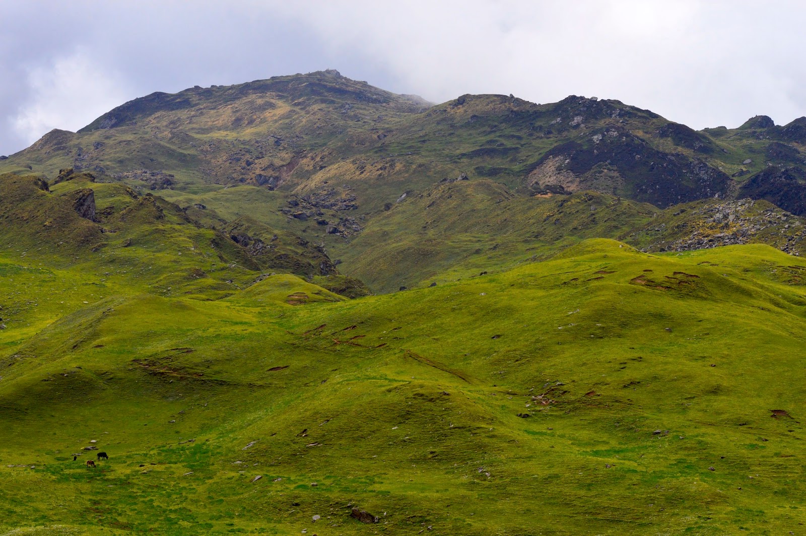
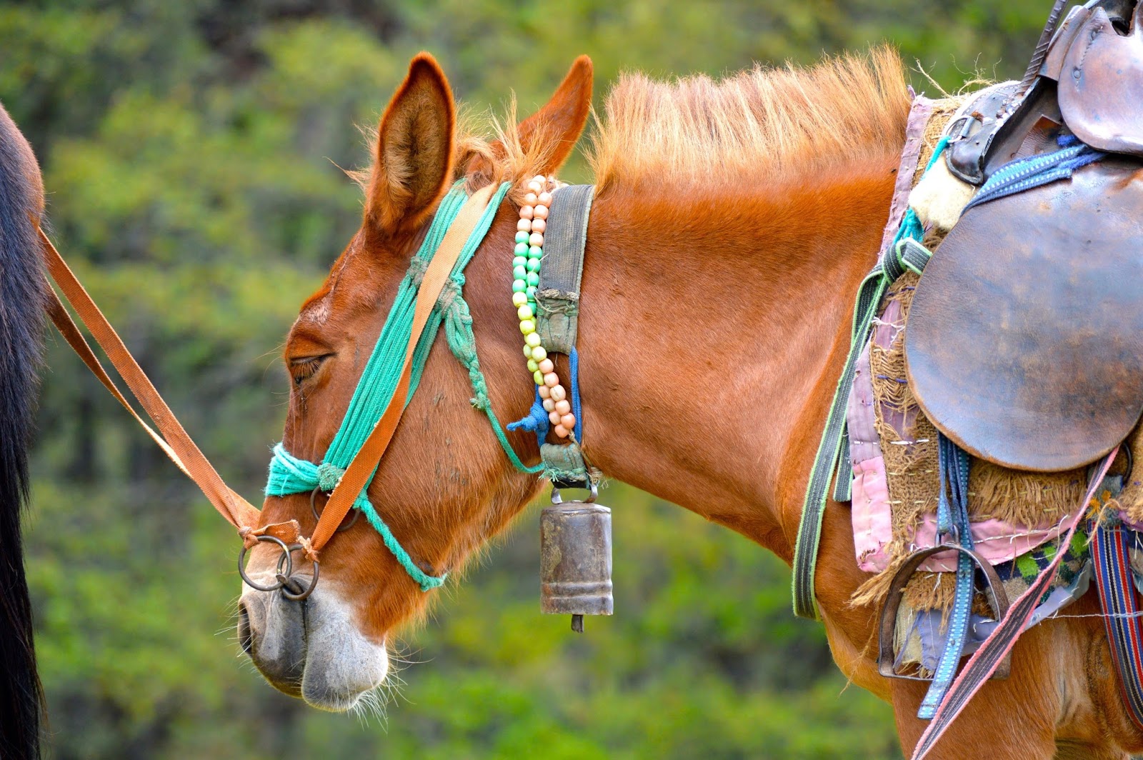
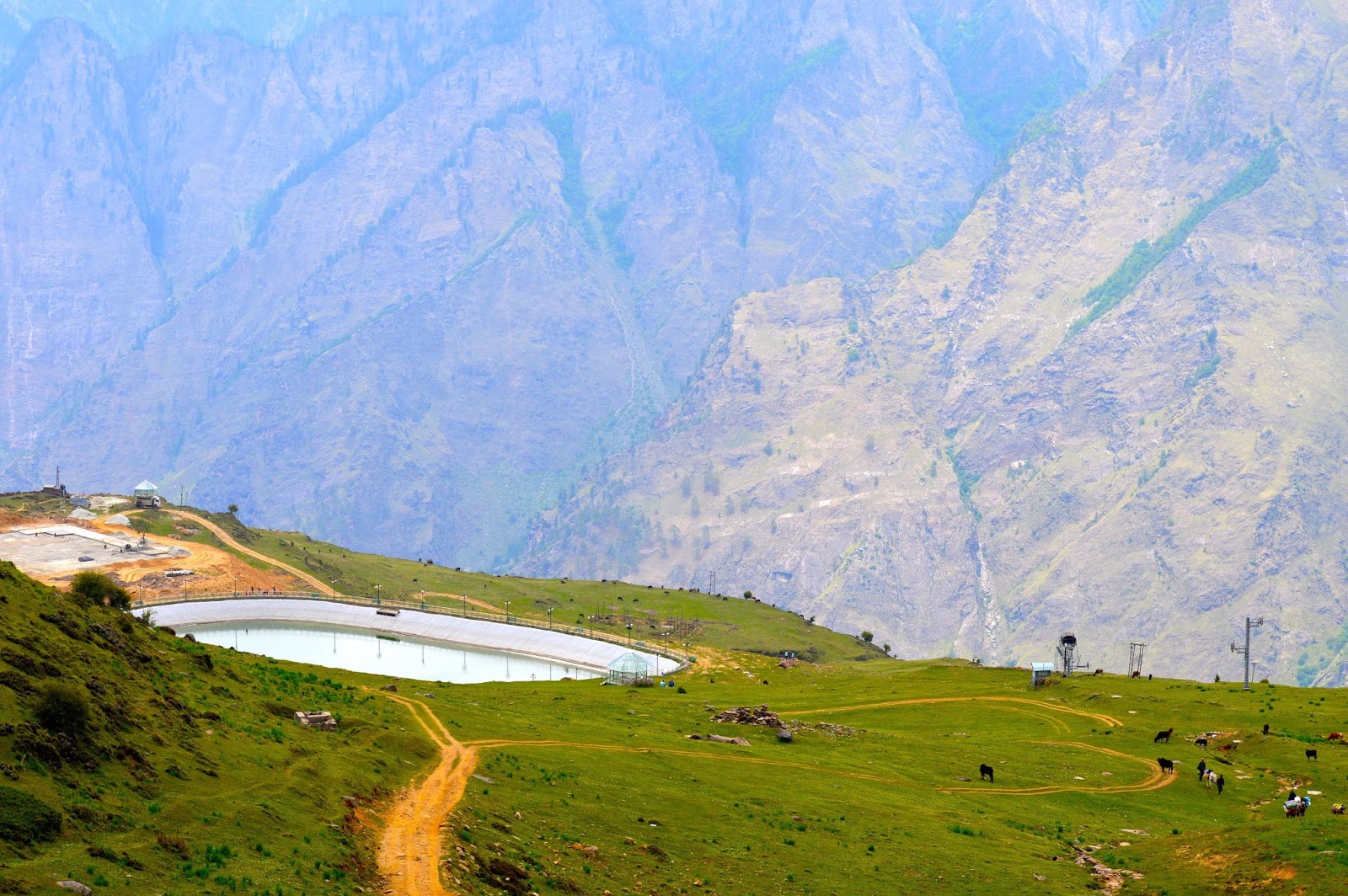
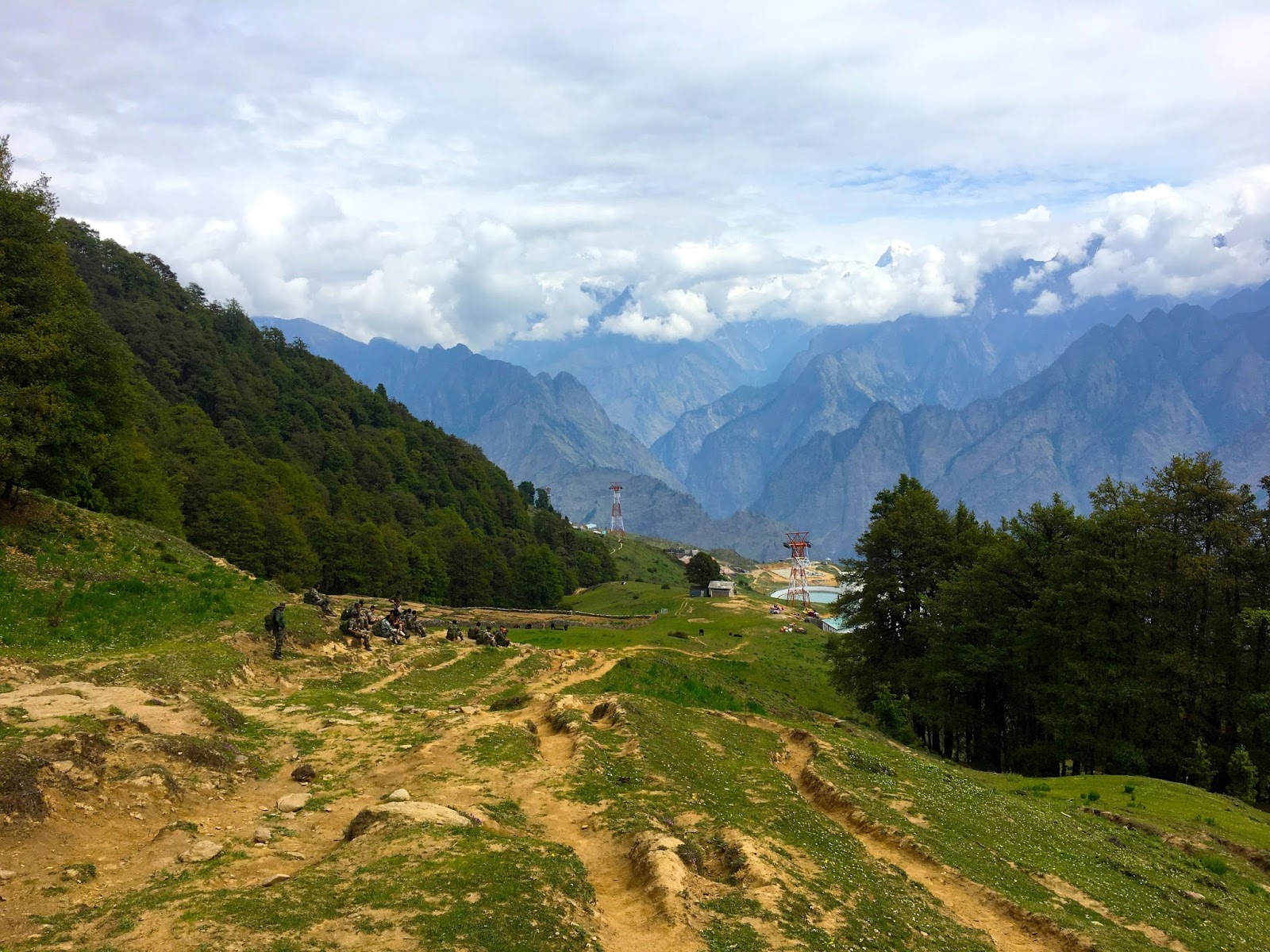


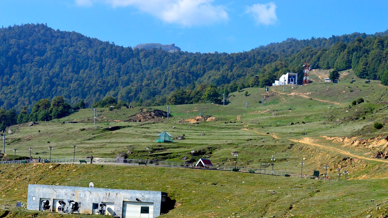
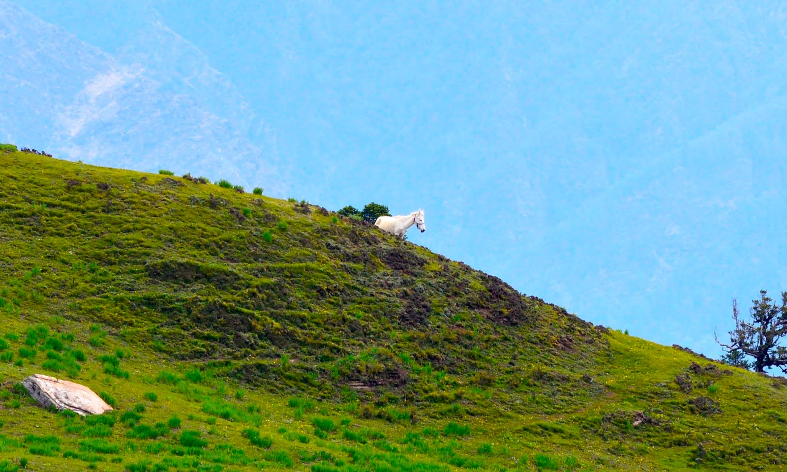
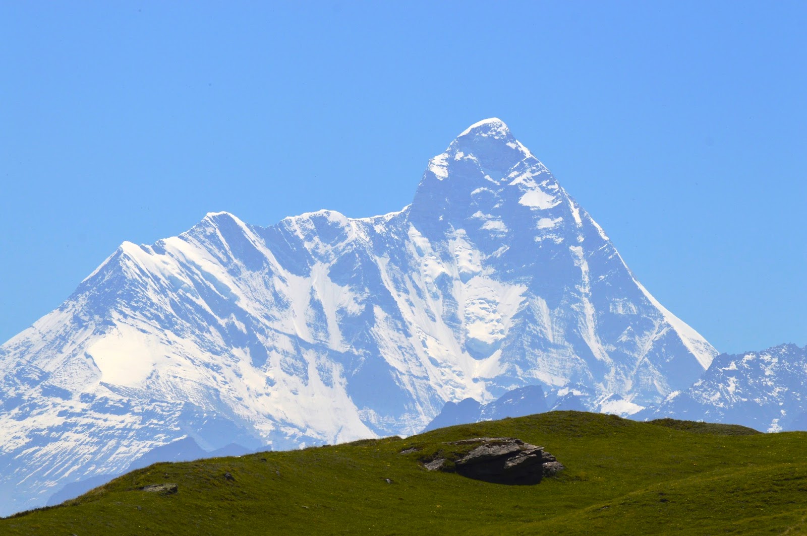

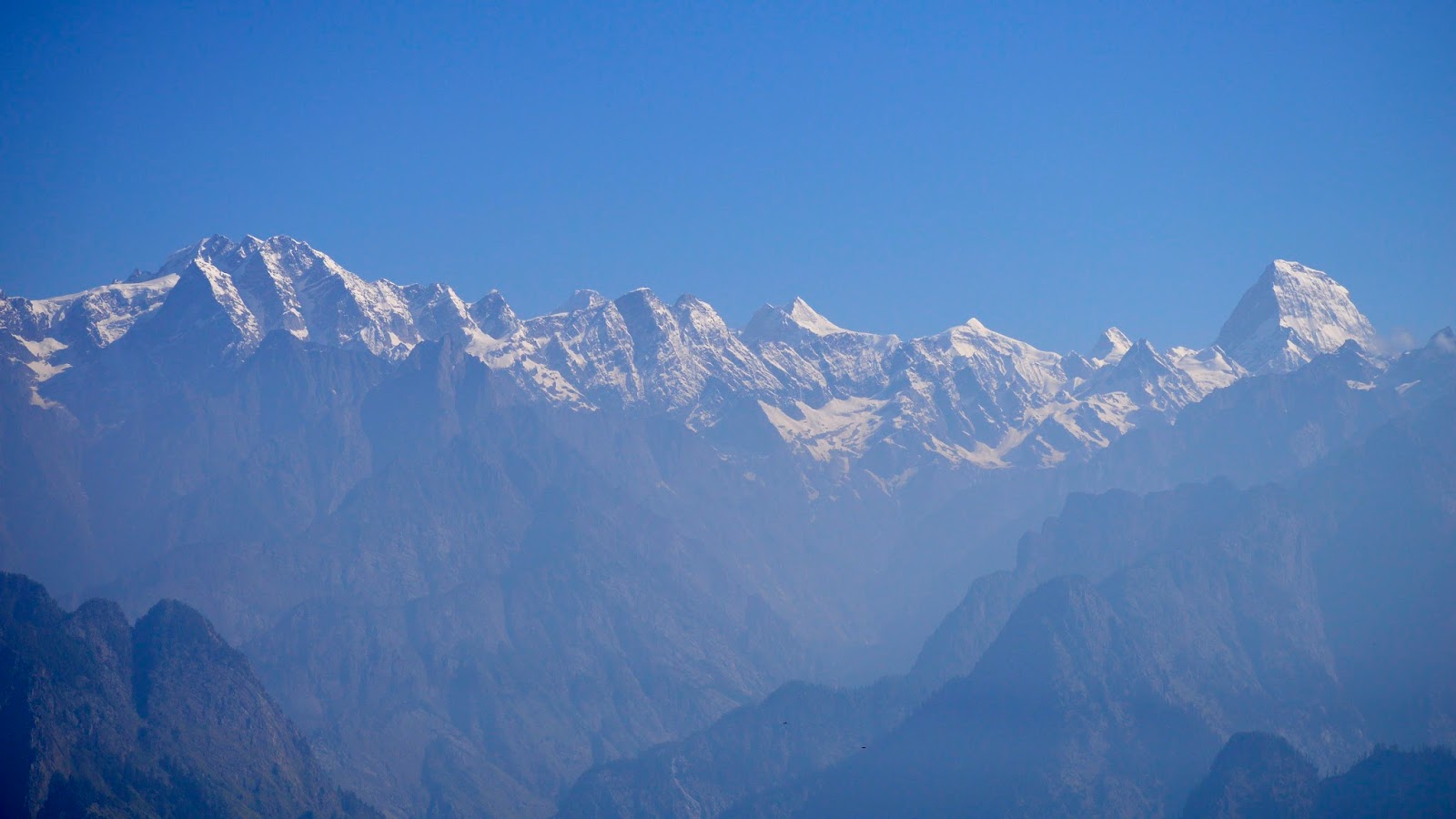

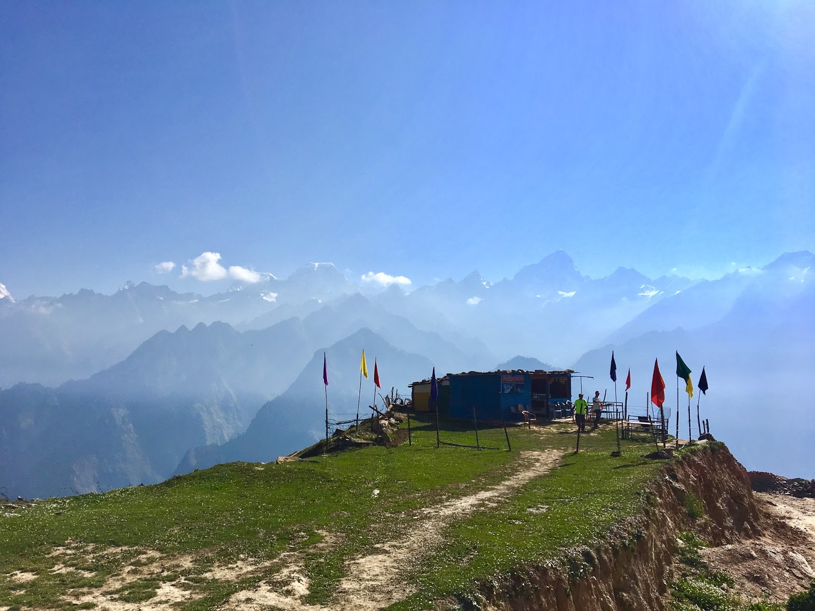
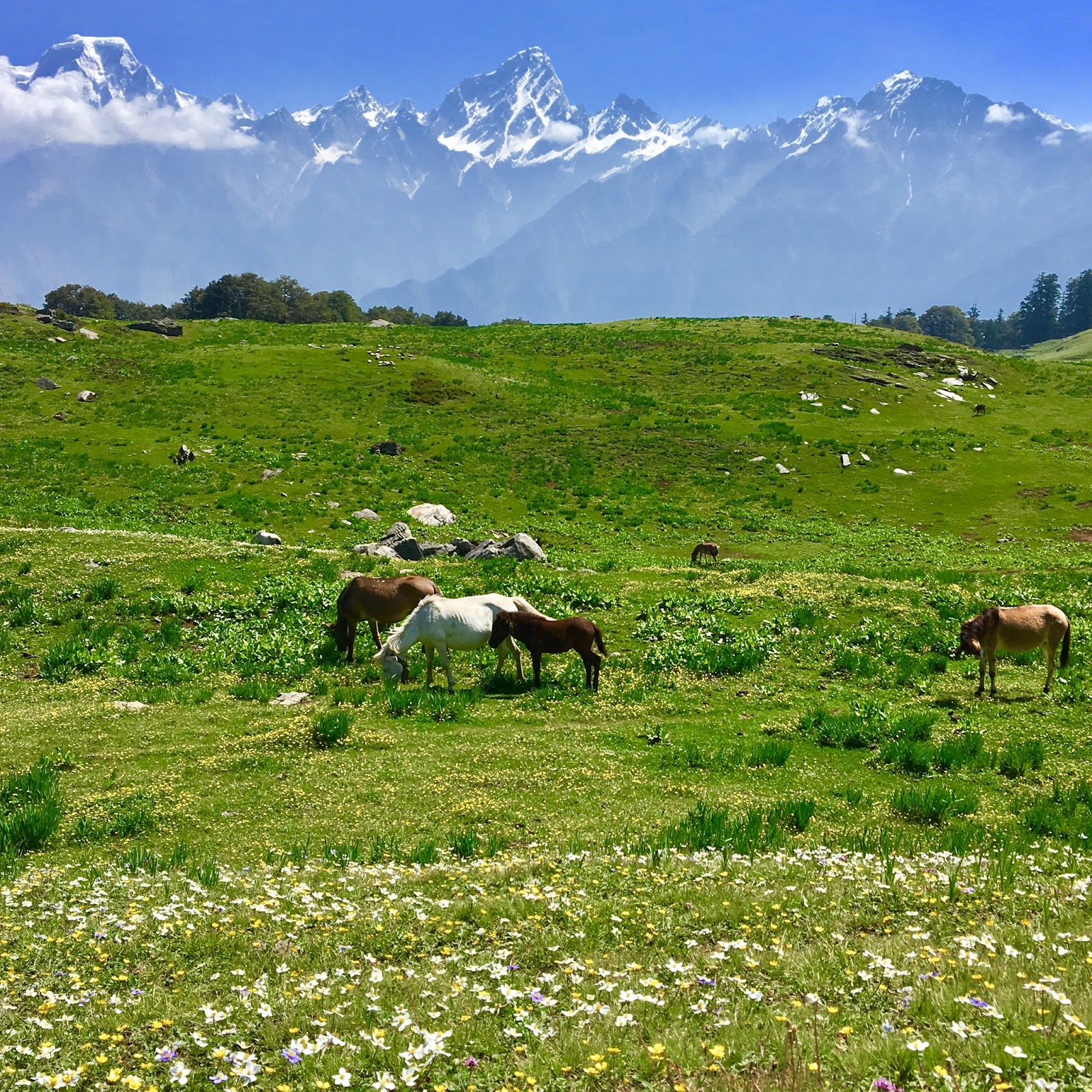
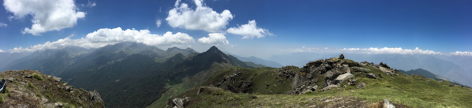
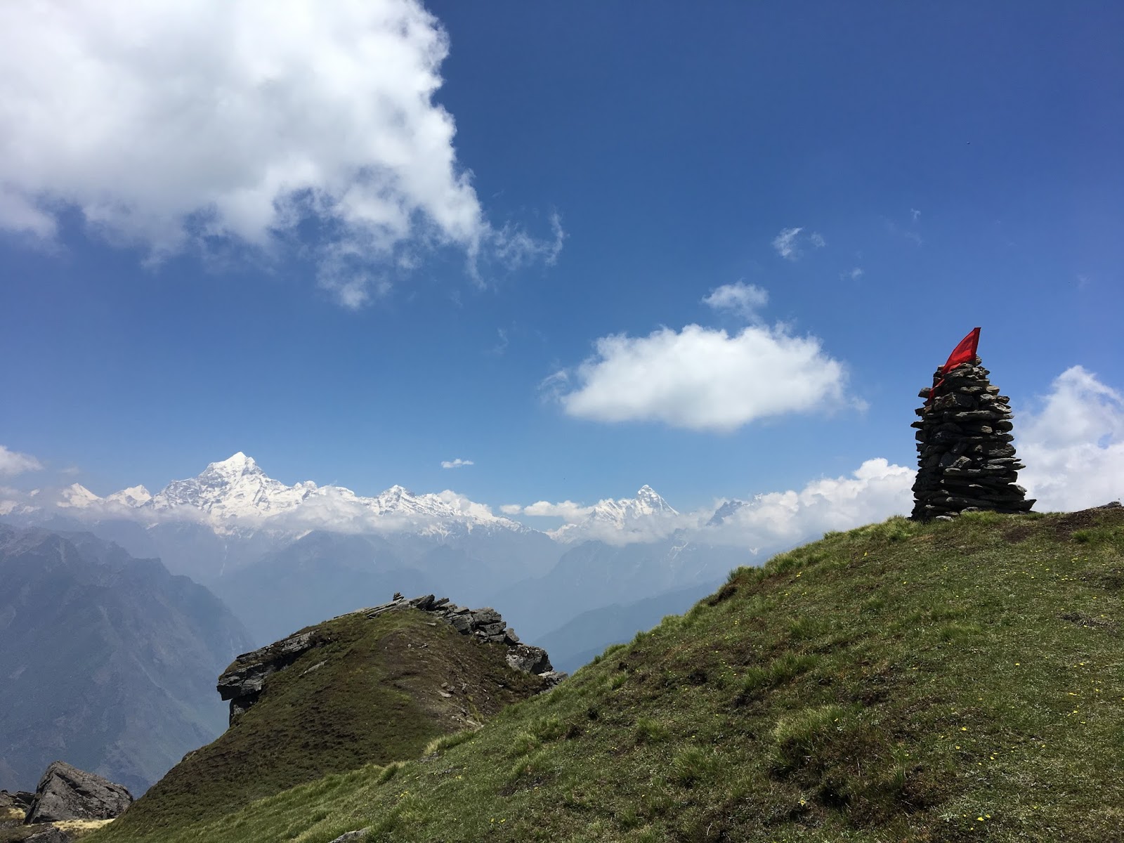
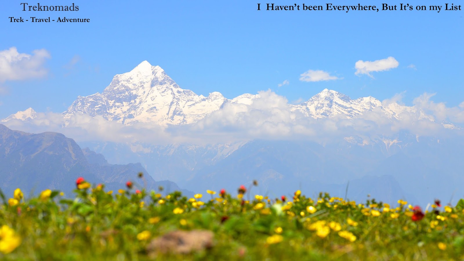
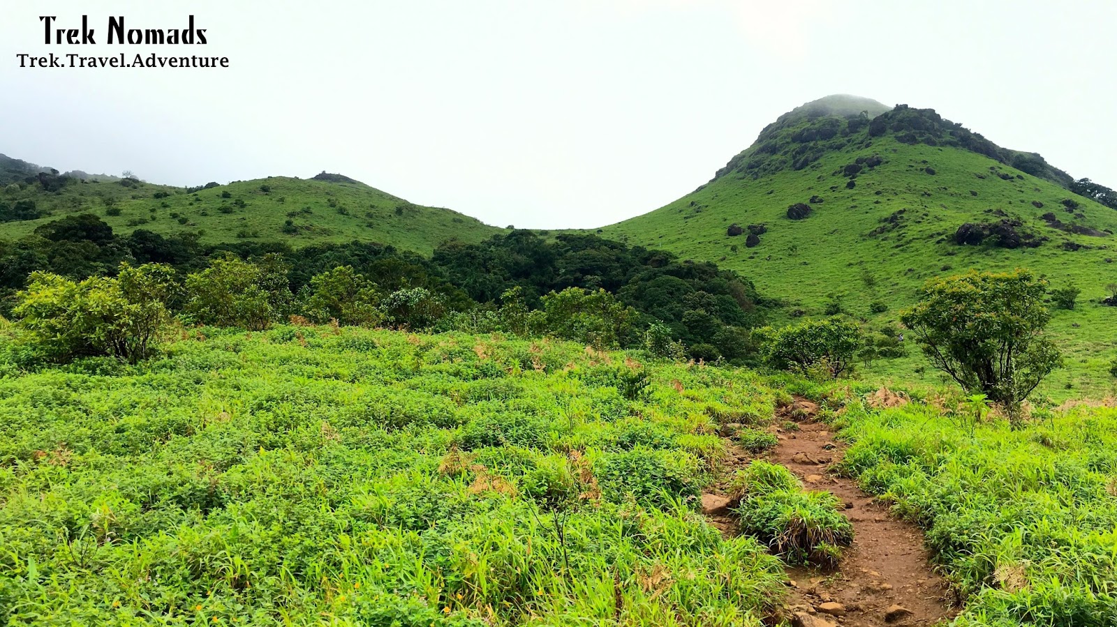
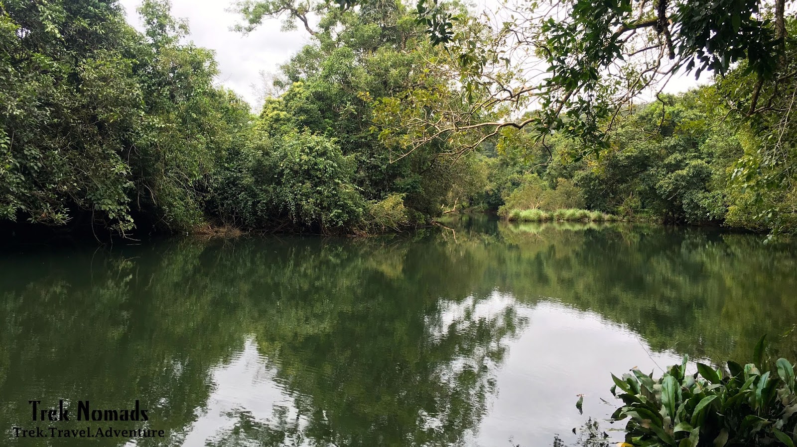


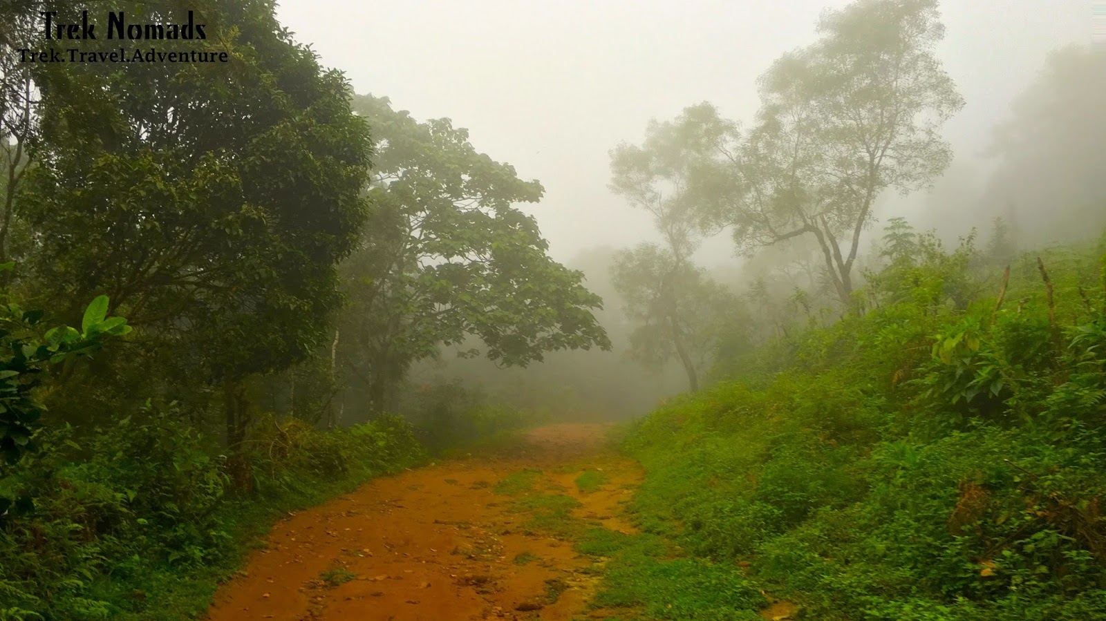
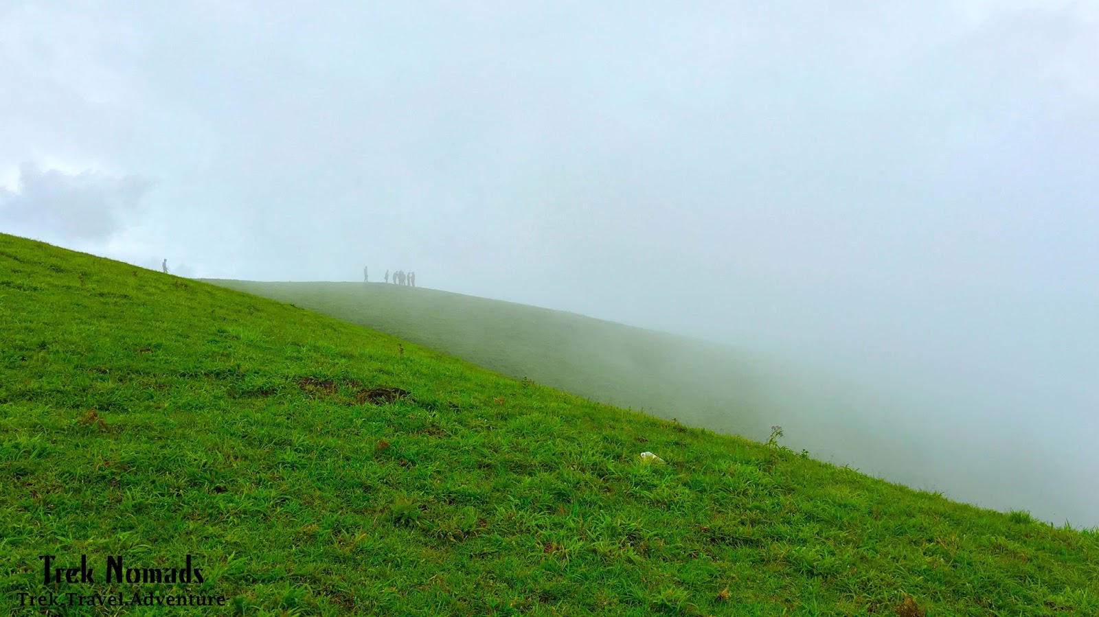
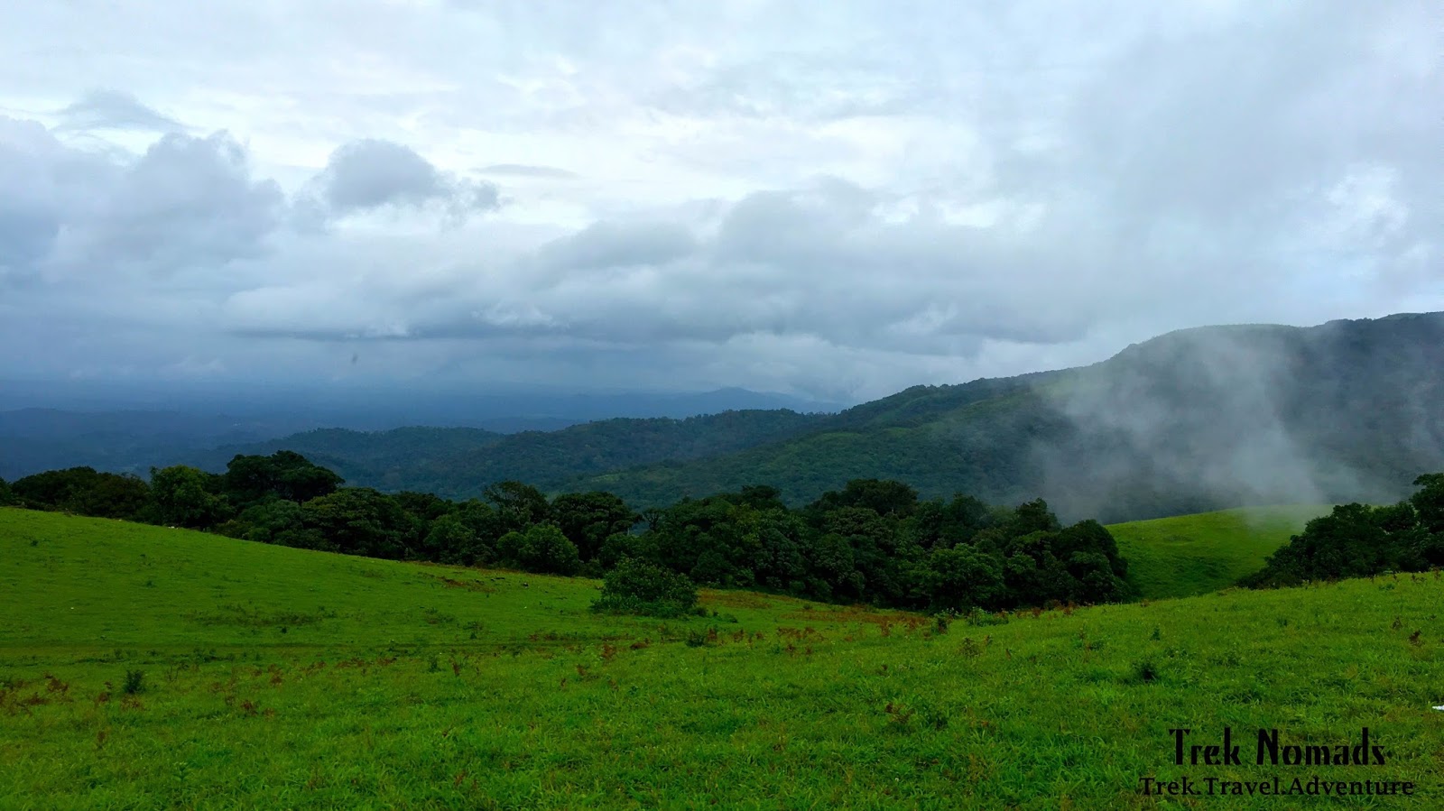

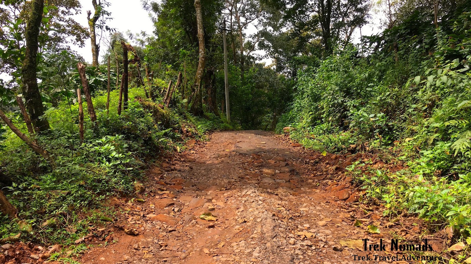
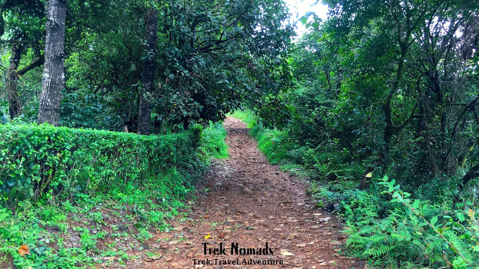
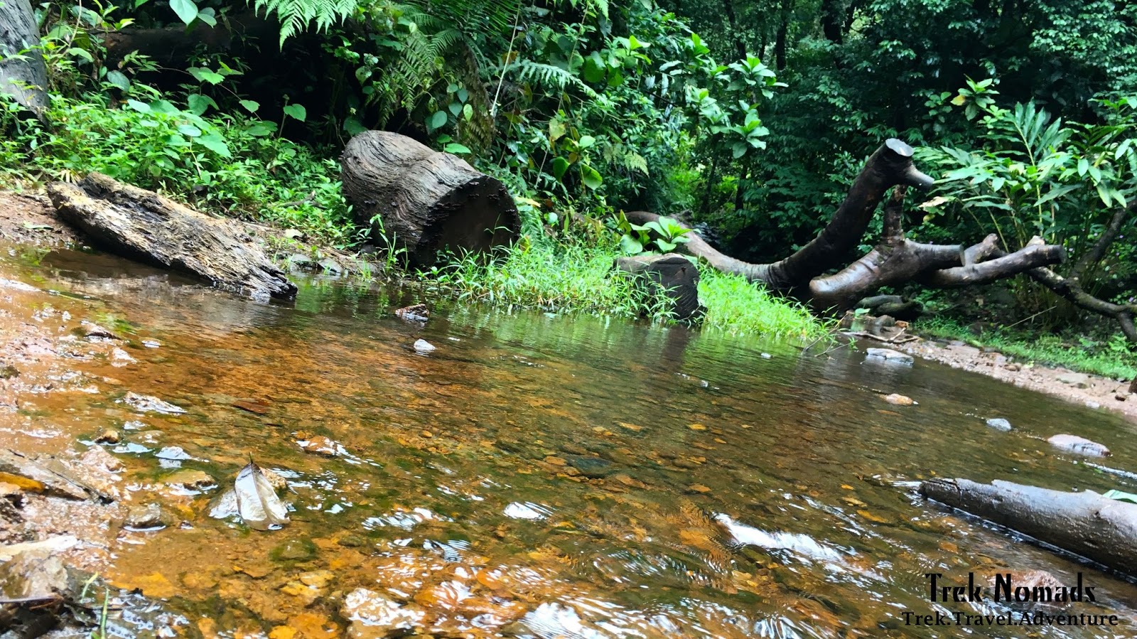


 )
)